Last updated: September 2020
Walk Map | Download walk as PDF
The sprawling Blaise Castle Estate is a great asset to north Bristol, providing a large and diverse country park within the city limits. As well as recreational grassy areas, the estate has extensive woodlands, a lovely river valley and one of the best children’s playgrounds in the whole city. There are also several built features of interest, including the original house (now a museum), a castle folly and an historic mill. Nearby Kings Weston Down is also part of the estate, a linear landscape feature in an elevated position.
This walk takes in most of the main built and natural features of the estate. Outside the estate, it also includes Henbury village and the fairytale oddity of Blaise Hamlet. The walk does not include the section of the estate to the east of the Hazel Brook valley, a quieter area which is worthy of further exploration to discover it on your own – including two interesting lodges on the main drive.
In order to include the full length of Kings Weston Down, the circuit includes a fairly long on-road section, most of which is not that exciting; however, an optional shortcut is provided that cuts much of it out, at the cost of missing out on most of the Down.
Useful Information
Terrain: A mix of flat ground and hills, some quite steep. Includes some steps.
Ground: Includes extensive unpaved sections, some of which are uneven and/or may have soft or loose surfaces.
Key Attractions: Blaise Castle Estate, Blaise Castle play area, Blaise Hamlet, Blaise Castle Museum, Blaise Castle, Stratford Mill, Coombe Dingle, Kings Weston Down.
Refreshments: Café at Blaise Castle Estate and pubs in Henbury village.
Starting point: Blaise Castle Estate car park, Kings Weston Road
Getting there: Kings Weston Road is served by buses to Cribbs Causeway running via Shirehampton and Avonmouth. Nearby Station Road, Henbury, is served by more direct buses running to Cribbs Causeway via Westbury-on-Trym.
Approx. Time: 3 hours
Approx. Distance: 5.3 miles
The Route
Our route starts at the main Blaise Castle Estate car park on Kings Weston Road, next to a broad and attractive grassy area, bordered by woodland, which is the recreational heart of the estate.
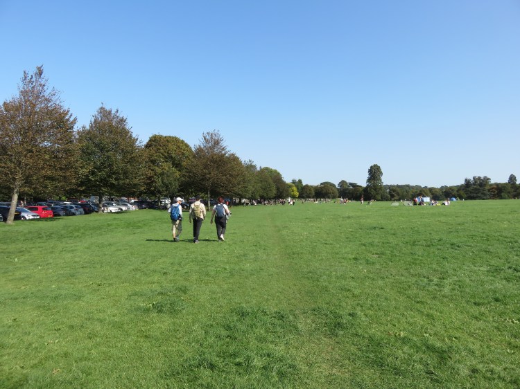
Take the footpath from the southeast corner of the car park, passing an interesting sculpture of a dog made from machine parts (1).
You will quickly find yourself passing the estate’s café and toilets.
The café at Blaise Castle Estate is one of the most convenient places on this walk to get a snack or a non-alcoholic drink.
Just beyond the café is the large Blaise Castle play area. This fantastic resource has something for children of all ages.
Now we have to leave the estate for a short while to explore some of the historic features of Henbury Village. We will return to the estate fairly shortly.
Turn left on a path running between the café and the play area to exit the estate onto Kings Weston Road (2).
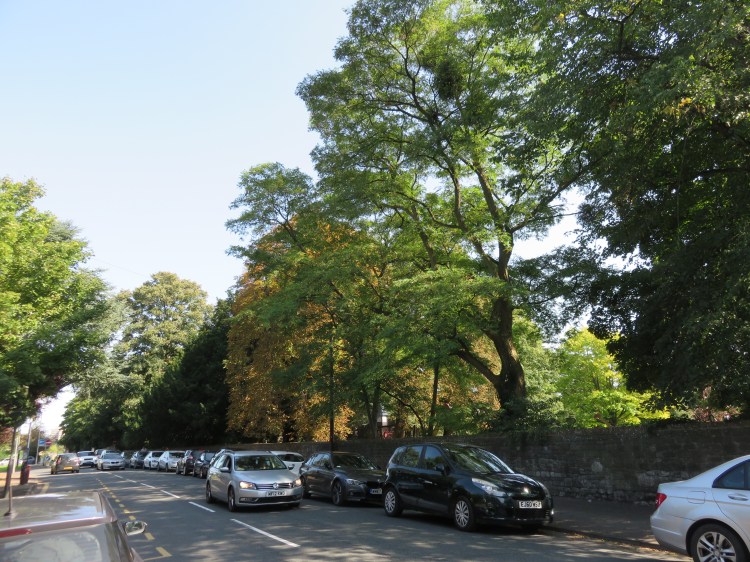
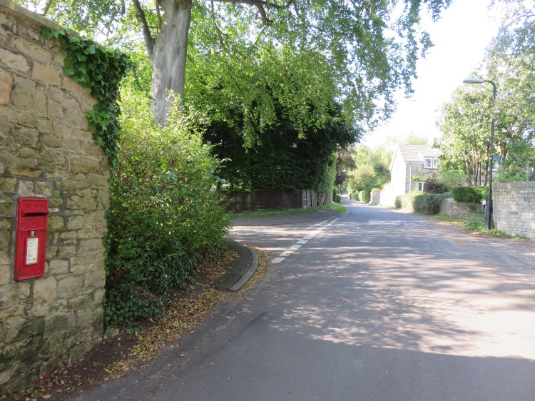
Turn right along Kings Weston Road. When a pavement appears on the other side, carefully cross the road and continue towards the next junction.
Busy Kings Weston Road carries a lot of traffic, but has a leafy feel thanks to the stone wall and mature trees that border the play area.
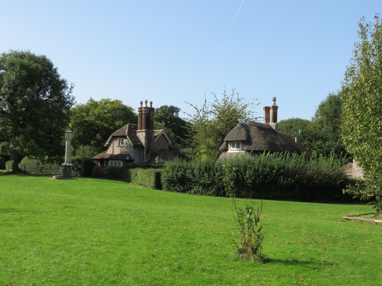
At the junction, turn left into Hallen Road. Cross the end of Castle Close and then go through the gate a few metres further down the hill to reach Blaise Hamlet (3).
An extraordinary picturesque oddity, Blaise Hamlet consists of nine detached cottages built around a village green with no road access. Each house has its own unique design, but they are united by their tall chimneys. The cottages were built in the 19th Century by the owner of Blaise Castle Estate to provide accommodation for his servants when they retired. These days, the cottages are still lived in but the hamlet is looked after by the National Trust. Take a walk around the perimeter path to get a better look at the quaint little houses and their well-tended English country gardens.
When you’re done, return via the same gate to Hallen Road (3). Carefully cross the road and then turn right, returning to the Kings Weston Road junction. Bear left into Henbury Road.
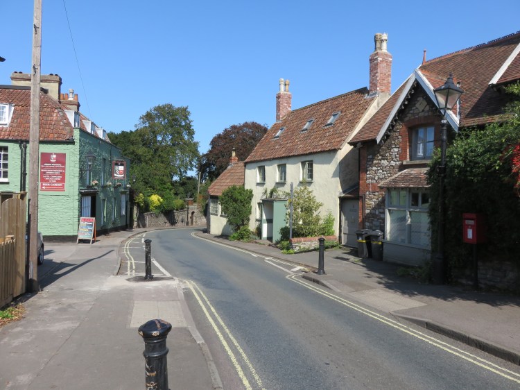
This part of Henbury Road is the main street of old Henbury Village. It is home to a number of old village houses and the stables entrance to Blaise Castle Estate at the top end of Church Lane (4).
Bear left and continue down the village street.
The impact of the period setting is diminished by the one-way traffic that flies up the road, but the village still has its charms.
On Henbury Road you will find the Blaise Inn, which is the more traditional option out of the two pubs in this area.
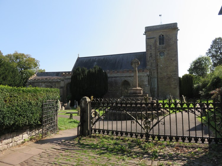
At the bottom of the hill, just before you reach a mini roundabout, turn right into the bottom end of Church Lane (5).
Church Lane presents a quieter face of Henbury village than the main road. It climbs past Henbury Village Hall (6) until – via Church Close – you reach St. Mary’s Church, the parish church of Henbury.
The churchyard of St. Mary’s Church, with its imposing war memorial, is a peaceful and contemplative space.
The final pub option on this walk is the Henbury Arms, a modern chain pub / carvery that is a short walk away down Rectory Gardens, which is accessible from the bottom corner of the churchyard, directly below the church itself.
Make a clockwise circuit around the outside of the church, noting the inviting lanes and footpaths that you pass on the way, then return to Henbury Village Hall (6). Turn left along the top section of Church Lane to return to the stables entrance to Blaise Castle Estate on Henbury Road (4). Turn left through the open gates to enter the estate.
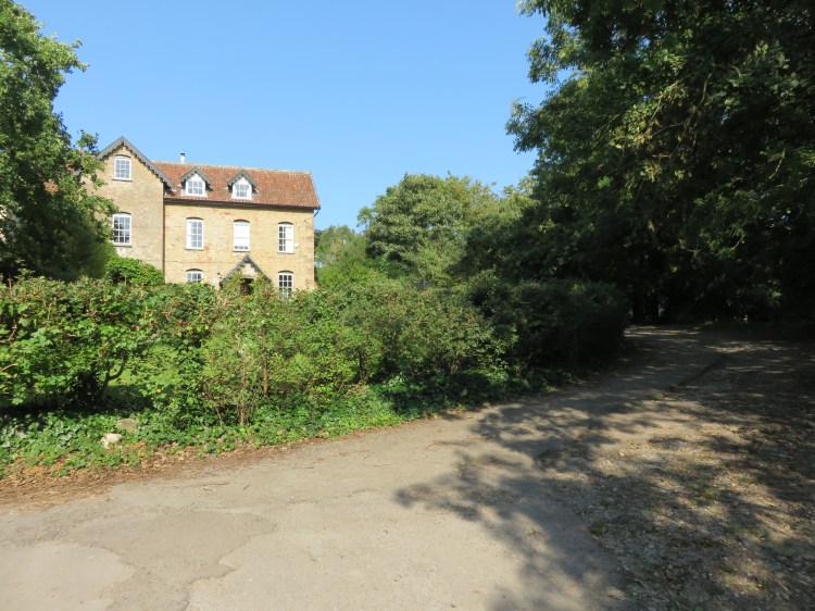
The rear driveway, bounded on both sides by tall trees and high stone walls, is an inviting and intriguing way to return to Blaise Castle Estate. You will pass the stables and will soon come upon the Georgian elegance of the house itself, now Blaise Castle Museum.
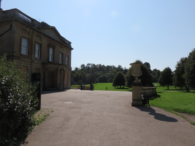
As you pass the house and return to the main open grassy area, search the skyline of the woods ahead of you. At certain times of year, you may just be able to pick out the turrets of Blaise Castle itself at the top of the hill. If not, don’t worry, you will see it properly soon enough.
Passing the house, bear left onto the Main Drive (7) so that you descend gently towards the woods.
As you cross the open area, note the handsome Orangery at the back of the house on the left.
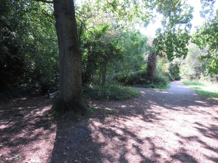
At the very edge of the woods, turn right onto the path that runs along the woodland edge of the grassy area (8).
The path up to the castle from this end can be a little difficult to find, so pay close attention.
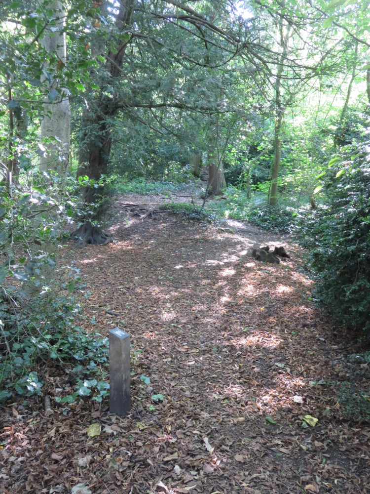
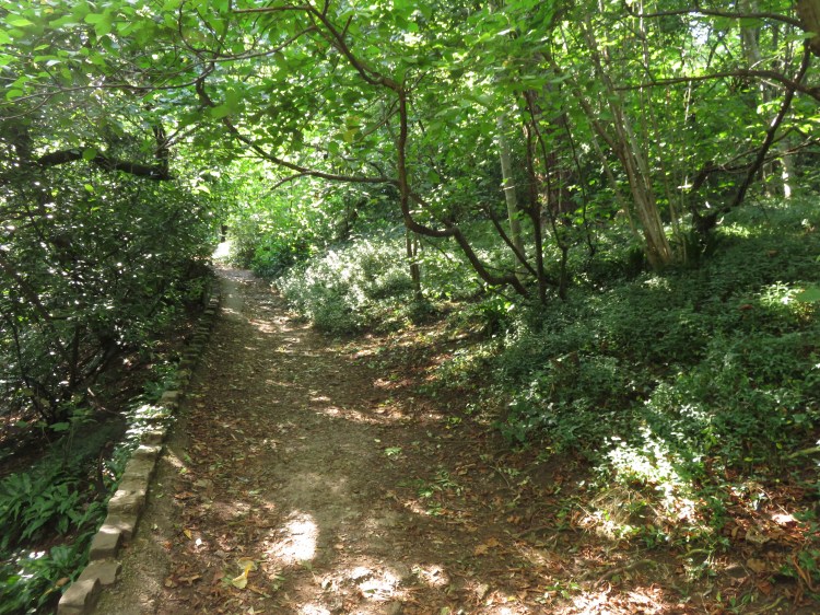
After a short while, the path enters the treeline. You will pass a small marker showing a crude picture of a castle. The path then bears right and immediately left.
You will quickly reach a point where two paths turn left into the woods next to each other (9). The first, an earthen path, is signed with another small marker. The second, a gravel path, is marked by the dead remains of an oak tree.
Take the first path, the earthen path with the small marker.
Almost immediately you will come upon a third small marker on the right hand side of the path.
Look to the right at this marker and, a few metres up the hill, you should see the beginnings of a rough stairway leading up through the trees.
Turn right and make for this staircase.
The stairway becomes a bit more substantial after a while. As you climb through the trees, you will cross the end of a carriage drive that traverses the side of the hill (10).
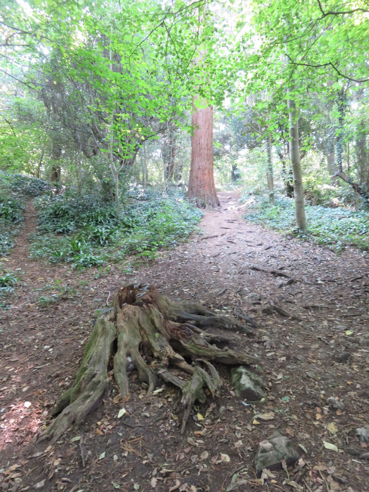
Cross the carriage drive. Continue past the tree stump and go straight up the earthen path beyond, passing redwood trees, to reach Castle Hill (11).
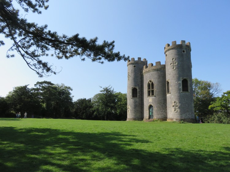
Castle Hill is a sunny clearing containing, of course, Blaise Castle itself. Effectively a summerhouse or folly, the owner of the estate would entertain their guests at this unusual spot. The castle is occasionally open to the visitors, allowing you to climb to the ramparts for great views over the estate and the Severn Estuary.
When you’re ready to move on, place the front doors to Blaise Castle behind you and descend the short earthen slope opposite to reach a viewpoint with a metal fence (12).
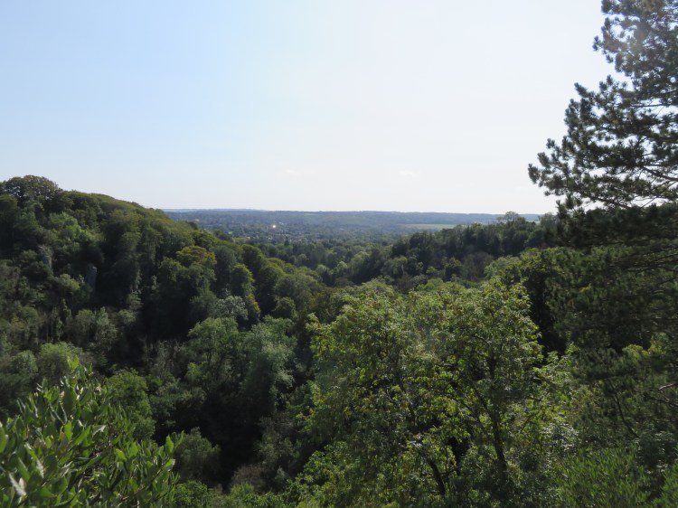
This is Lovers’ Leap, a view-commanding spot at the top of a cliff overlooking the valley of the Hazel Brook. The views down the valley are far-reaching. On the far side of the valley you will see Goram’s Chair, resembling a throne made of rock, named for one of the two legendary giants who are said to have dug this valley and also the nearby Avon Gorge in tribute to a lady.
Take the earthen path that traverses the steep hillside on the left.
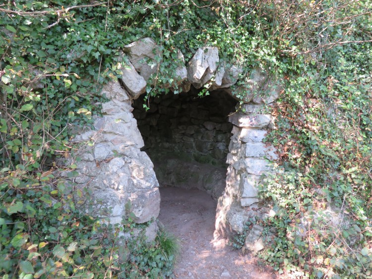
Beware of uneven ground and steep drop-offs as you tackle this section. The path descends along the side of a very pleasant, light and airy south-facing woodland slope overlooking the valley. After a short while you will pass a viewpoint with a bench, and then a small cave lined with a stone seat (13).
The path continues down through an area carpeted with periwinkles. Ignore all of the informal and occasionally treacherous side paths and shortcuts. At length you will descend a short flight of steps to rejoin the main drive on the way down into the valley (14).
Turn right down the main drive, descending into the valley.
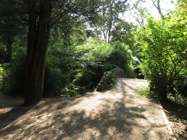
The main drive will take you to a bridge over the Hazel Brook at the bottom of its steep-sided valley (15) – sometimes called Henbury Gorge, and more commonly known as Coombe Dingle.
Off to the left you will see historic Stratford Mill with its surviving water wheel. The mill originally stood on the River Chew in the Somerset village of Moreton, but was dismantled and moved to this location when the decision was made to flood the village to create Chew Valley Lake. These days, the mill stands slightly forlorn, and could do with some sensitive work to refurbish it and reveal its history.
After crossing the bridge (15), turn right to follow the pedestrian and cycle path on down the valley, keeping the brook to your right.
The path through the rocky, wooded valley is likely to be pretty busy, as the broad path and shallow brook are extremely popular with families and dog walkers.
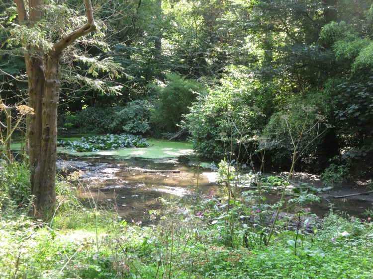
After a while, the valley opens out a bit around the first of a series of pretty ponds. The ponds are lined with bamboo and feature an attractive packhorse style bridge (16).
Do not cross the water here. Continue along the main path, keeping the water to your right.
Beyond the ponds, the path climbs again towards an area known as the Beech Cathedral (17) – which is, as you might expect, planted with tall, handsome beech trees.
You will descend again past another pleasant pond.
Continue to stay on the main path, avoiding side turnings.
After a while, the main path will finally take you across the Hazel Brook. A few metres further down, a sunken bridge to the left (18) marks the point where the Hazel Brook finally merges with and becomes the River Trym, bound for the Avon Gorge via Sea Mills.
You will now be walking past a sunken meadow, with the river largely out of view beyond it. Passing the backs of the steeply sloping woodland plots of Pitchcombe Gardens on the right, you will soon reach the Coombe Dingle car park.
Walk through the car park and turn right onto The Dingle (19).
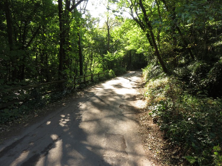
We have now embarked upon the on-road section of this walk that will eventually lead you to Kings Weston Down. The Dingle gets it off to a great start, continuing the secluded leafy feel and dappled light of the river valley. You will climb gently out of the valley until you reach the higher ground of the residential area at the top.
At the top of the hill take the first right, the broad junction for Grove Road (20), which heads in among the houses.
Grove Road is by far the most interesting part of the on-road section of this walk. The road winds through a loose layout of detached houses, the first few of which are quite grand. Pavements along the road are intermittent and parts are bounded by stone walls and high hedges, which makes it feel more like a country lane than a suburban street.
After a short while, Grove Road straightens out and begins to climb gently towards Kings Weston Down. The road intermittently opens out and narrows down again, sometimes threatening to disappear completely. Periodically, footpaths and lanes leading off to the right provide routes back into Blaise Castle Estate.
Continue climbing Grove Road until you reach the junction with Arbutus Drive (21). Arbutus Drive is the third left, forming a crossroads with Chardstock Avenue, at the beginning of a wider section of Grove Road just after a long narrow section with no pavements.
Shortcut route
The remaining on-road section of the main route is not very exciting. If you don’t mind missing out a large part of Kings Weston Down, you can avoid it.
Continue straight on up the last section of Grove Road. Eventually the road will end and turn into a track.
Follow this track up through an area of woodland. Avoid any side turnings in the woods and you will soon come out on the grassy area of Kings Weston Down (25) a little to the west of the hill fort.
To continue following the main route, turn left down Arbutus Drive.
Arbutus Drive is an ordinary suburban street of between-the-wars semi-detached houses.
At the end of the road, turn right onto Westbury Lane.
Westbury Lane is more of a main road, carrying traffic from Westbury-on-Trym in the direction of Shirehampton and Kings Weston. As you climb the hill, glance back at the leafy skyline behind you. Eventually, the modern buildings of Southmead Hospital will appear, standing like a citadel in the distance.
You will eventually reach a complex junction with Shirehampton Road and Kings Weston Road (22).
Turn right onto the pavement on the right hand side of Kings Weston Road. It will soon take you up above road level so that you approach an old iron footbridge (23).
This bridge, which connects Blaise Castle Estate with the grounds of Kings Weston House (see Walk Thirty-Two ‘Shirehampton and Kings Weston House’), has been closed for years following a vehicle strike. Local people have been campaigning to get it repaired for almost as long.
Turn right onto a track that climbs through the woods, passing a large house to the left.
A signpost will soon announce your return to Blaise Castle Estate. The track meanders through the woods before eventually coming out in a grassy area (24).
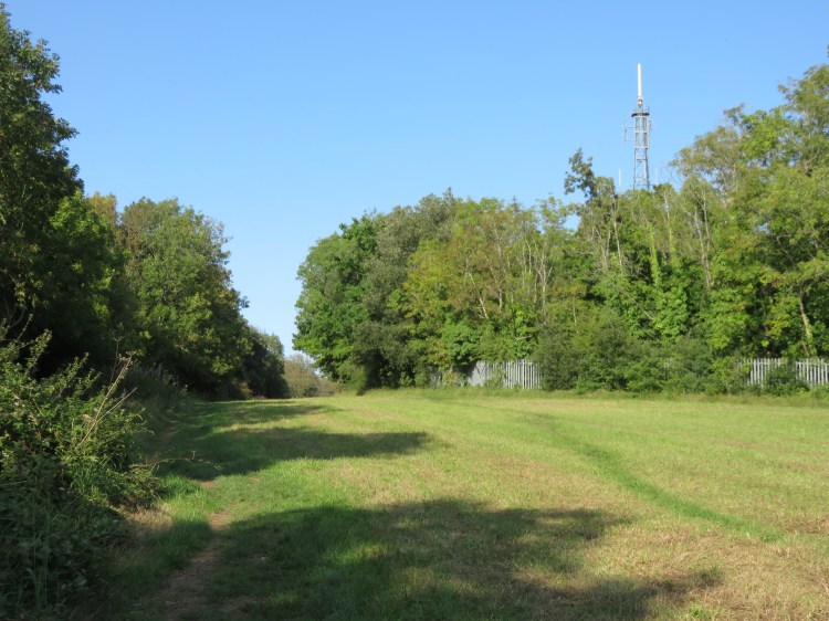
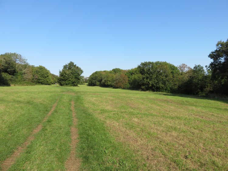
This is Kings Weston Down, a long grassy ridge lined with woodlands, which will take you all the way back to the main central part of Blaise Castle Estate.
Make your way through the middle of the grassy area, following the ridge line.
You will quickly pass the main landmark of this area, a television transmitter mast which lies within the woodland to the right.
The grassy area winds at first around the start of the ridge, intermittently getting narrower. After a while it opens out into a wider, straight section.
This area is at its best in the spring, when the early grassland flowers such as cowslips make their appearance, but is pleasant at any time of year.
At length, you will cross a trodden path across the grassy area (25). The shortcut route rejoins the main route here, emerging from the woodlands on the right.
Continue along Kings Weston Down in the direction of Blaise Castle until you pass an embankment.
You have reached Kings Weston Hill, the remains of an Iron Age hill fort.
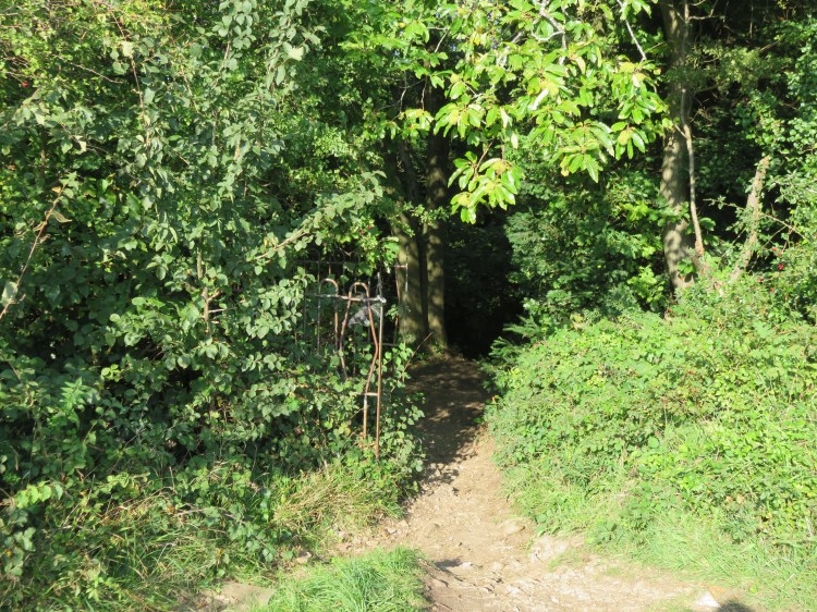
Go through a small opening into the woods on the left, next to the remains of an iron fence or gate (26).
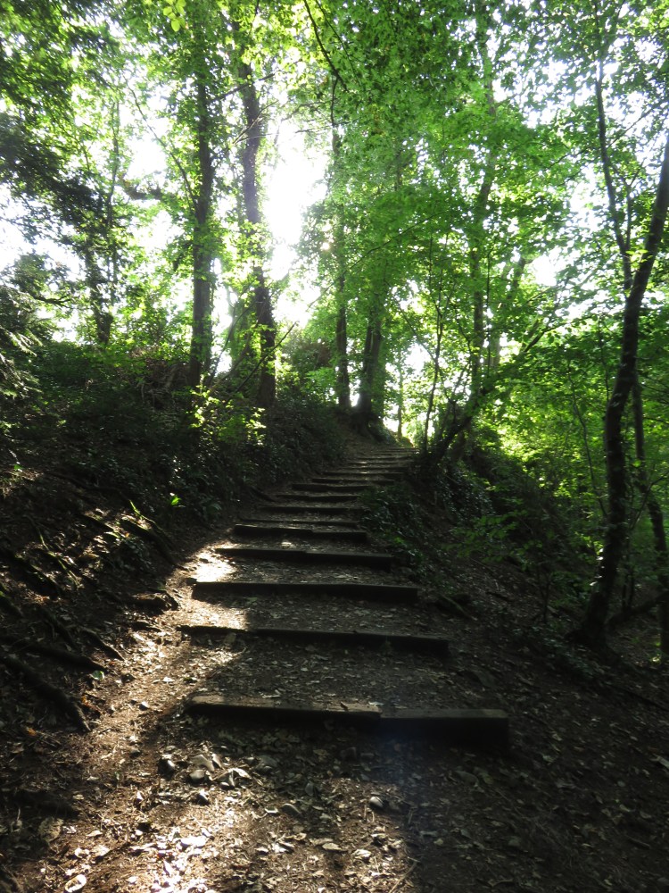
The path will take you to a broad stairway leading down through a fairly open area of woodland.
Keep going straight on until you reach a path leading out into the open (27). Turn left into a grassy area, passing the dead remains of two large trees.
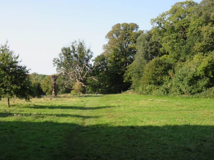
You have returned to the main open area of Blaise Castle Estate.
Simply follow the grassy area on round the corner, keeping the woods to your right.
The car park will come into view in the distance. Cross the grassy area to return to the car park and complete Walk Twenty-Three.
Coming Up
In Walk Twenty-Four ‘Stoke Bishop and Sneyd Park’ we will visit some of north Bristol’s leafiest streets and then get to know some of the fascinating nature reserves and woodlands on the east side of the Avon Gorge.
