Last updated: August 2020
Walk Map | Download walk as PDF
Some of the most affluent streets within the city limits can be found in Stoke Bishop and Sneyd Park, the leafy suburbs to the north of the Downs. The area is also good territory for urban walks, with quiet footpaths full of fragrant fallen leaves and pine cones.
This walk starts and finishes on the Downs. The route explores a wide circuit, initially through the leafy suburban streets of Stoke Bishop and Sneyd Park and then through some of the steeply sloping nature reserves and woodlands of the nearby Avon Gorge. An optional detour provides a link to the University of Bristol Botanic Gardens.
Two shorter circuits are also available:
- Short Route 1 focuses on the quiet streets and lanes of the first part of the route, passing the botanic gardens on the way. This family-friendly circuit was a regular haunt of ours when I was little and living in Westbury Park.
- Short Route 2 focuses instead on the Avon Gorge section, for which an alternative starting point is available via Sea Mills Station. In contrast to Short Route 1, there are parts of this circuit that I have only just discovered myself in summer 2020.
Useful Information
Terrain: A mix of flat ground and hills; steeply hilly in the Avon Gorge section, which can be bypassed. Includes some steps, mostly in the Avon Gorge section.
Ground: Paved and unpaved. Some areas may be uneven or soft underfoot.
Key Attractions: Durdham Down, University of Bristol Botanic Garden (via optional detour), Old Sneed Park Nature Reserve, Bennett’s Patch & White’s Paddock Nature Reserve, Bishop’s Knoll woods, Avon Gorge.
Refreshments: Very limited provision. Small café towards the end of the walk.
Starting point: White Tree Roundabout, Westbury Road/North View (Long Route and Short Route 1); Bramble Lane, Sneyd Park or Sea Mills Station (Short Route 2).
Getting there: White Tree Roundabout is accessible by bus routes to Cribbs Causeway running via Westbury-on-Trym or Henleaze and Southmead; on-street parking available in the surrounding streets. On-street parking available at Bramble Lane for Short Route 2.
| Approx. Time | Approx. Distance | |
| Long Route | 3 hours 15 minutes | 4.9 miles |
| Short Route 1 | 1 hour | <2 miles |
| Short Route 2 | 1 hour 30 mins | <2 miles |
The Route
The Long Route and Short Route 1 begin at the White Tree Roundabout on Westbury Road, which lies amidst the wide open spaces of Durdham Down.
Short Route 2: Route from Sneyd Park
Join the route at Bramble Lane, a residential street in the heart of Sneyd Park (19).
Short Route 2: Route from Sea Mills Station
Alternatively, take a train to Sea Mills station. Take the main exit from the station onto Sea Mills Lane, keeping the old harbour to your left. Just before the road bridge that carries the Portway over the harbour, turn right and climb the access road to reach the Portway itself. Cross at the traffic lights to reach Roman Way, where you will find the remains of a small Roman villa.
Follow Roman Way and take the third right onto Glenavon Park. Climb the hill, bearing slightly left at the top. Turn right to join the long route at a point where the road begins to slope back down again (11).
Begin the Long Route or Short Route 1 by following Parry’s Lane west from the White Tree Roundabout.
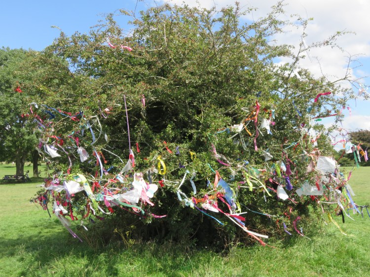
On the northwest corner of the roundabout don’t miss the white tree itself – out of tradition, the main trunk of one tree in this spot has been painted white for many years.
Turn right into Cote Road, a lane that runs along the western edge of the Downs.
Cote Road soon becomes Cote House Lane. Ahead you will see the roofs and tall chimney of St. Monica’s, a desirable retirement community (see Walk Twenty-Two ‘Henleaze and Westbury-on-Trym’).
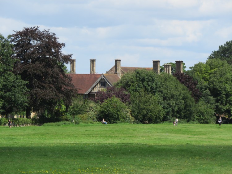
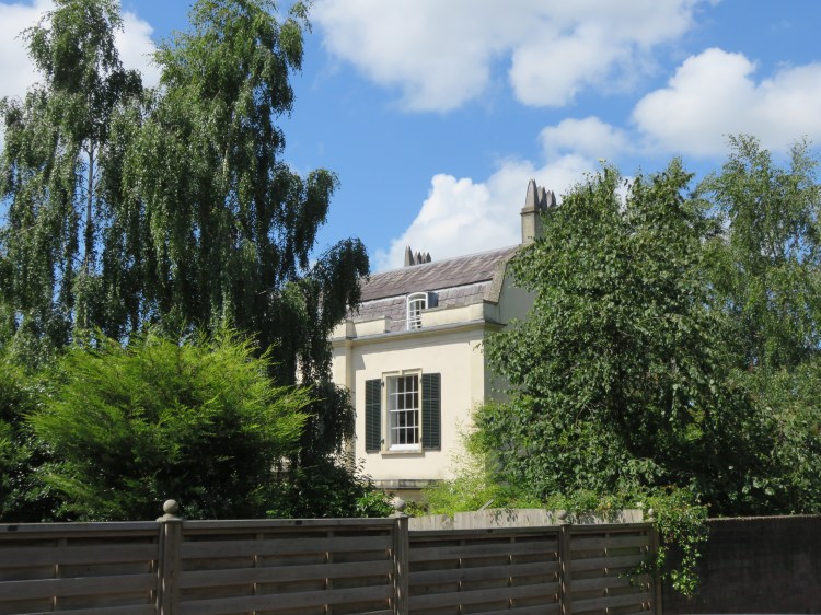
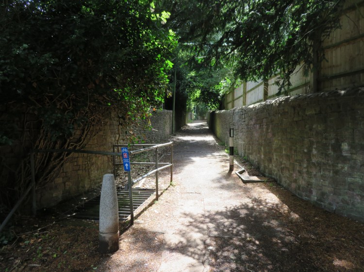
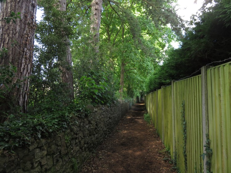
Cote House Lane soon leads you through a wooded area bounded by high stone walls (1), completely cutting out the traffic noise from Westbury Road. You will emerge on a quiet and secluded cul-de-sac. Cote House, the large property that gives the lane its name, is hidden behind trees and walls on the left. More visible, behind the houses ahead of you, is the unique European-style villa of Crete Hill House.
Follow Cote House Lane until it ends at a turning head next to another retirement community. Take the public footpath on the right that is signed to ‘Elmlea Schools’ (2).
The narrow footpath runs between trees and timber fences and is typical of footpaths around this area, which lies on the edge of Westbury-on-Trym and Stoke Bishop. These paths are fragrant with earthy smells and, occasionally, the creosote of a freshly treated fence. Beware less pleasant smells, too, as there can be problems with dog fouling.
Follow the path round a corner and down a flight of steps. At the bottom of the steps, where you join another path, turn left (3).
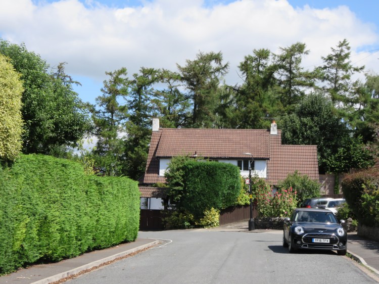
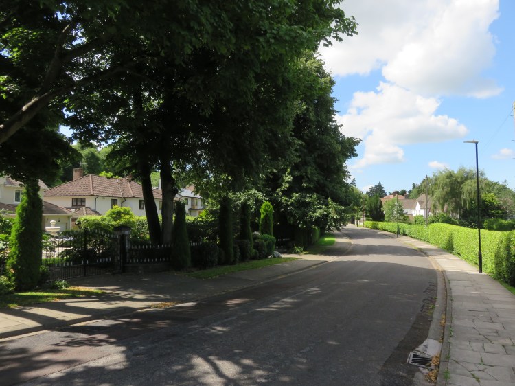
The path will eventually bring you out onto Elmlea Avenue. You have now entered a very comfortable residential area that is characterised by large detached houses and high green hedges. There are also several beautiful specimen trees, with varieties of pine, cypress and cedar being fairly common alongside more usual garden species.
Turn right along Elmlea Avenue and follow it round the corner to the left. At the bottom of the hill, turn left onto a footpath that is signed to ‘Parry’s Lane’ (4).
You will emerge on Rylestone Grove at a corner surrounded by more detached houses.
Bear right onto Rylestone Grove to reach Parry’s Lane.
Parry’s Lane is the main road down into Stoke Bishop from the White Tree Roundabout. It is a wide road, but is not usually too busy.
Cross Parrys Lane to reach Hornby Place, a new-build residential cul-de-sac. Start along Hornby Place and then bear right onto another public footpath (5).
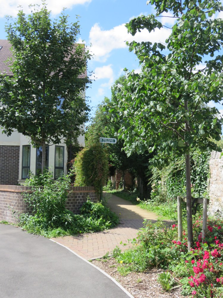
This footpath is a long and well-established public right of way that dates back to before the area was urbanised. When I used to walk this route as a child, the site on which Hornby Place was built was still in use as a dairy, delivering milk to households throughout this part of north Bristol.
Follow the path past the back gardens of houses on Ormerod Road until you reach a junction (6).
Several routes converge at this important junction. First right, the paved section of Ormerod Road ends abruptly in an unmade surface. Hollybush Lane crosses your path, as an earthen path to the right and as a paved lane to the left. Ahead, Eastmead Lane winds out of view, again as an unmade surface.
Short Route 1
If walking Short Route 1, turn left up Hollybush Lane. This pleasant and leafy path, bounded by high stone walls, climbs fairly steeply up the hill, passing between University of Bristol halls of residence.
At the top of the hill you will pass, on the right, the open gates to a large and impressive creeper-covered University property called The Holmes (6A). This is also the rear entrance to the University of Bristol Botanic Gardens. If you would like to visit the gardens, be sure to visit the ticket kiosk first (check the hours of opening before you travel).
Otherwise, continue along Hollybush Lane. Before long you will emerge back in the wide open spaces of Durdham Down. Turn left and make your way along Saville Road – or parallel to it – to return to the White Tree Roundabout and complete Short Route 1.
Botanic Gardens Route Extension
The lovely University of Bristol Botanic Gardens can also be visited as part of the long route, but I have not included it in the main instructions because of the steep extra climb. You may wish to consider it as an alternative to the steep detour down into the Avon Gorge woodlands and nature reserves later on in the long route – instructions on how to skip that part will be provided later.
Climb Hollybush Lane as with Short Route 1. When you reach The Holmes, turn in through the gates (6A) and make your way to the ticket kiosk (check the hours of opening before you travel).
When you’ve finished touring the gardens, leave via the front entrance to Stoke Park Road. Turn right and make your way down the curving road, rejoining the main route close to the bottom of the hill at the junction for Hollymead Lane (7).
To stay on the main route, continue straight on from the junction (6) along Eastmead Lane. Walk past the end of Little Stoke Road. When the next section of Eastmead Lane turns off to the right, bear left onto the paved surface of Hollymead Lane.
Hollymead Lane is a leafy but fairly unremarkable road that climbs to the side of the University of Bristol’s Badock Hall. It will lead you to a junction with Stoke Park Road (7).
Turn right onto Stoke Park Road. The Botanic Gardens Route Extension rejoins here.
Stoke Park Road is a long, crescent-shaped avenue that starts and finishes on Stoke Hill. It is home to a number of grand properties that take advantage of the open aspect over the lower reaches of the Trym Valley. On Stoke Park Road you will find some of the largest and most prestigious-looking detached houses in the city.
Reaching the main road, Stoke Hill, cross over into Church Avenue.
Church Avenue continues the affluent theme. A private cul-de-sac, lined with beautiful lime trees and with no parked cars, it manages to feel even more exclusive than Stoke Park Road.
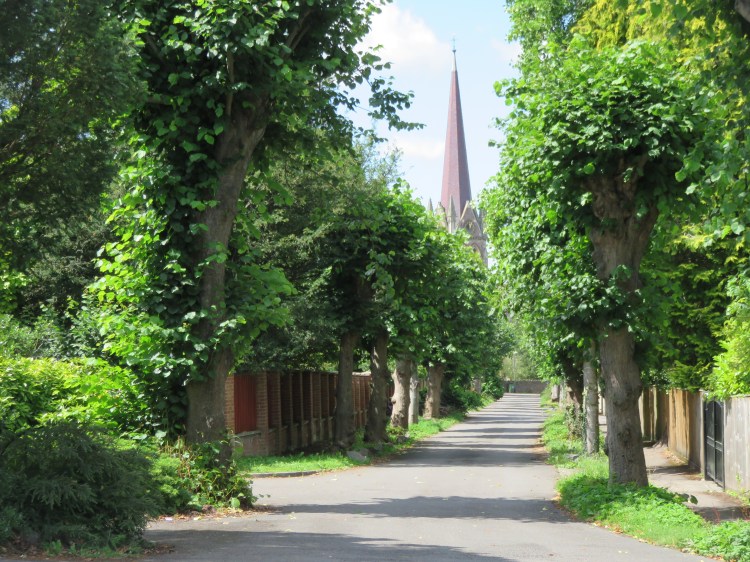
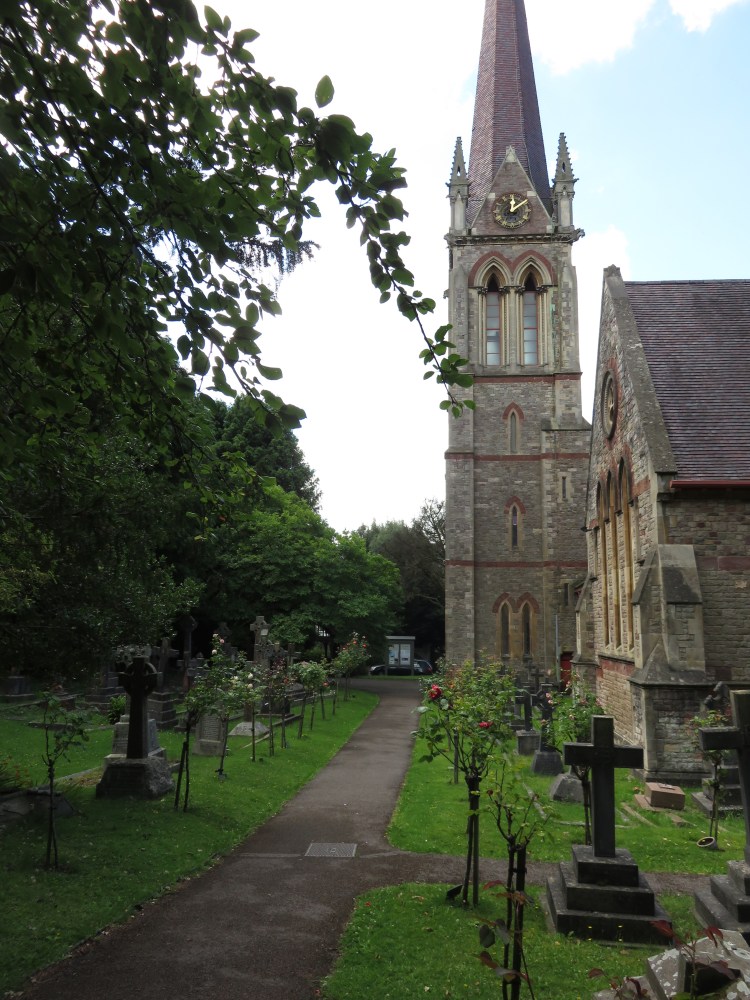
Church Avenue ends at the back of St. Mary Magdalene Church, with its elegant spire, whose pleasant if slightly gloomy churchyard you can visit if you wish.
From the end of Church Avenue, turn right onto Mariners’ Path (8).
Mariners’ Path is an ancient right-of-way that follows the line of a Roman road, the ‘Via Julia’, that can be traced all the way across the Downs and into Sneyd Park via Julian Road and Pitch-and-Pay Lane. The road provided access to the Roman port of Abonae (now the old harbour on the River Trym at Sea Mills).
Nowadays, Mariners’ Path is a pleasant route whose stone walls separate you from the traffic on adjacent Mariners’ Drive. As you descend the hill, the path becomes lined with pine trees, whose fragrant needles cover the ground.
Mariners’ Path ends at a road called Old Sneed Park. Note the thatched lodge ahead of you (9), part of the Old Sneed Park estate, long since redeveloped as Glenavon Park.
Turn left onto Old Sneed Park until you reach the junction with Glenavon Park (10). Short Route 2: Route from Sneyd Park joins the long route here.
Alternative Route
The section of this walk that visits the Avon Gorge woodlands and nature reserves is one of its highlights, but if you would like to skip that section – for instance, if you made the earlier detour to the University of Bristol Botanic Gardens, or if you’re concerned about the steep climbs or soft and uneven ground, you can follow this simple detour to bypass it.
From the junction with Glenavon Park (10) continue straight on along Old Sneed Park. Make your way gradually up the winding, leafy hill.
At the end of the road turn right along Church Road to rejoin the main route at the junction with Chancel Close (21).
To continue following the main route, make your way up Glenavon Park, turning left at the top of the slope (also part of Glenavon Park) (11). Short Route 2: Route from Sea Mills Station joins the long route here.
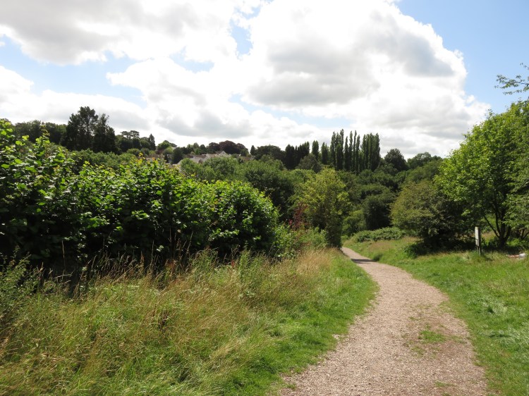
Glenavon Park is a modern housing estate. What it lacks in built character it makes up for in handsome trees and pretty front gardens.

After a short distance, turn left down a track between stone walls leading to a gate (12).
This is the access to Old Sneed Park Nature Reserve and is clearly signed.
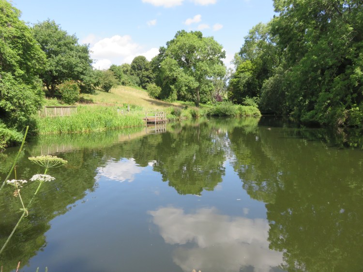
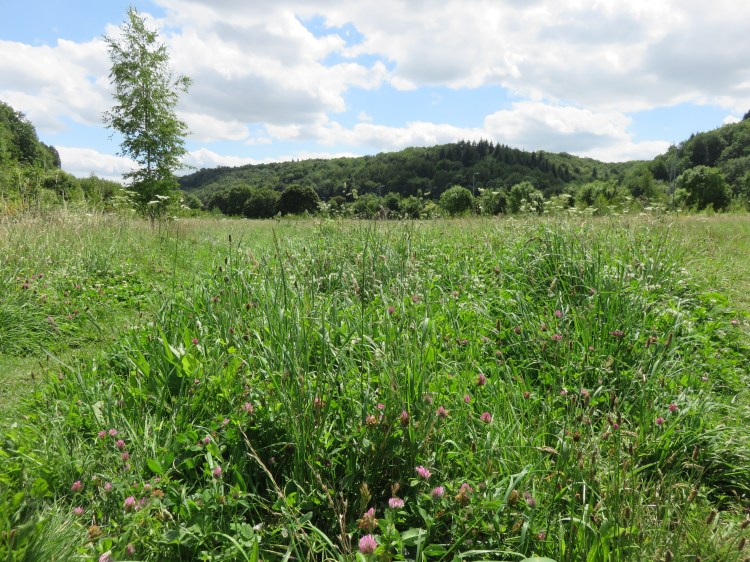
The nature reserve occupies a pleasant valley in between Glenavon Park and the housing of Bramble Drive.
You will descend at first through a meadow area next to a hedge, which is great for wildflowers and insect life. At the bottom of the hill, off to the left, you will find a small lake, which you may wish to look at a bit more closely. Look out for ducks and dragonflies.
When you’ve finished admiring the lake, continue along the main path through the nature reserve, which bears left to runs along the woodland edge of two further meadow areas (13). You can also walk through the meadow, but signs may ask you to avoid trampling the wild flowers.
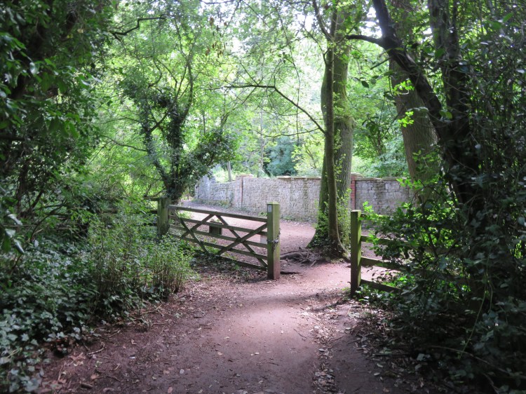
The lower meadows of the nature reserve continue the wildflower theme. At the very bottom of the nature reserve you reach the edge of a slightly boggy area, where the embankment of the Severn Beach railway line crosses the view from left to right (14).
Turn left through a gate.
You will climb through a woodland, eventually emerging on a more open path lined with brambles. Before long you will reach a gate onto a stone-walled woodland track (15) that is effectively an extension to Bramble Lane up in Sneyd Park.
We will return to this spot later on. In the first instance, turn right and make your way down Bramble Lane.
You will soon find yourself on a stone railway bridge with the Severn Beach railway line passing underneath. The overgrown space next to the present railway line is the trackbed of the dismantled Port Railway & Pier, which predated the present Severn Beach Line, providing the first railway services to Avonmouth from a terminus in Hotwells where passengers could interchange with the city’s trams and the Clifton Rocks Railway (see Walk Six ‘The Clifton Hillside’).
Cross the bridge and follow the path round to the left.
As you round the corner, you can look back at the railway bridge and see that it is designed to span two railways.
You will descend into our next nature reserve, Bennett’s Patch and White’s Paddock. The nature reserve is a recent creation, having been a sterile playing field for many years.
Take the trodden grassy path into the centre of the meadow. Make your way towards a sculpture of a whale in the distance (16).
The meadow is full of wildflowers and rings with the sounds of grasshoppers and crickets in the summer, even over the noise of the nearby Portway. The wicker whale sculpture is looking a bit threadbare these days, but it’s still an imposing feature.
From the whale, make your way gradually back towards the railway line as the meadow narrows down. After you have rejoined the perimeter path, take a narrow footpath on the left that leads to a tunnel under the railway line (17).
The tunnel takes you to a flight of steep steps leading to a gate. This is the entrance to Bishop’s Knoll woods.
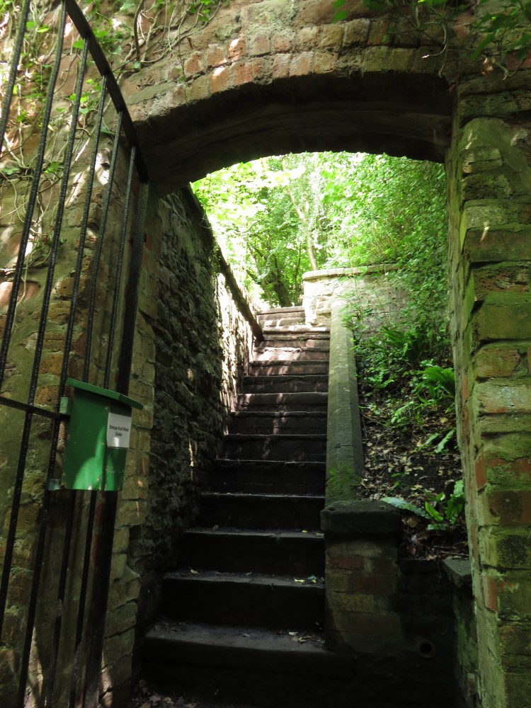
Go through the gate and climb to the top of the steep steps beyond.
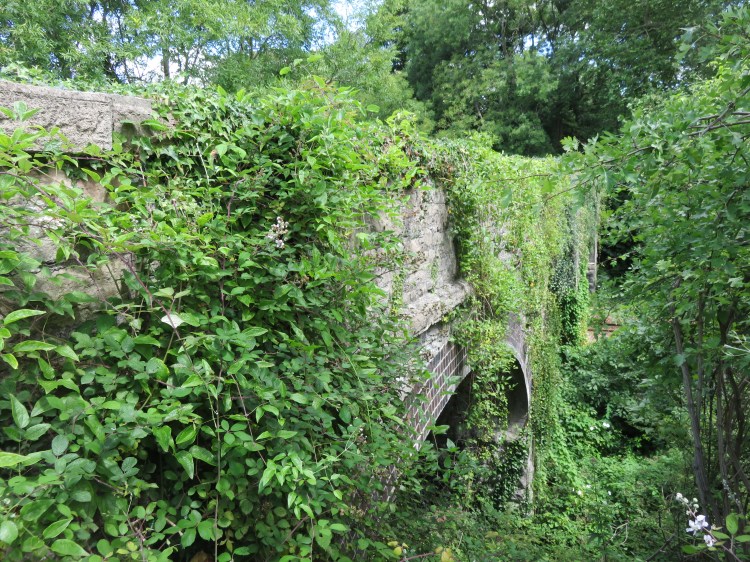
Bishop’s Knoll was originally a large house at the top of the hill, since demolished. Its estate ran down the side of the Avon Gorge and included this steeply terraced garden. Originally more open, the garden has run wild and has been taken over by woodland again, and now has an evocatively abandoned feel.
Turn left along the level path that runs below a tall stone wall.
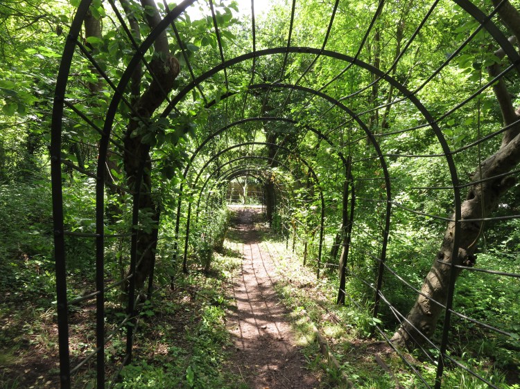
You are on the middle level of the gardens. You can explore the upper and lower levels if you wish; an old metal arbor runs back down to the bottom of the garden, while a flight of stone steps ascends to an upper level where you can find the remains of a stone summerhouse. There are further levels even higher up, currently inaccessible but under gradual restoration. Return to the middle level when you’ve finished.
When you’ve finished exploring, leave the old terraced garden via the exit on the middle level (18).
There are many ways up through Bishop’s Knoll wood, but the most interesting route is probably the path that runs along the bottom of the woodland, just above the railway line. This long and occasionally uneven path is part of an old arboretum, and is planted with bamboo and numerous exotic conifer trees, from pines to redwoods. The trees are all of a great age and have an imposing stature. Most still have small metal plaques to identify the species. You will also glimpse occasional views back out over Bennett’s Patch and White’s Paddock.
Follow the path until it ends at a flight of steps leading back up to the woodland extension to Bramble Lane (15).
Short Route 2: Bramble Lane route
If you started Short Route 2 from Bramble Lane, continue following the main route instructions below.
Short Route 2: Route to Sea Mills station
If you started Short Route 2 at Sea Mills Station, turn left very briefly to return to the gate leading back down to Old Sneed Park Nature Reserve. Return to the open area of the nature reserve via the same path you used earlier.
Reaching the bottom of the nature reserve (14), go straight on to enter another area of woodland. You will climb some winding steps through the trees. At the top of the steps, turn left again to descend to the Portway.
Very carefully cross the fast and busy road – there is no formal crossing here – and take the steps opposite to descend to the towpath along the River Avon.
Follow the towpath around to the right and you will eventually return to Sea Mills Station to complete your walk.
To continue following the main route, turn right up the woodland track.
You will climb steeply up the side of the Avon Gorge, passing a large house on the right. Eventually you will emerge on the paved section of Bramble Lane (19). Short Route 2 ends here if you arrived by car.
Short Route 2
To follow or continue following Short Route 2 from this point, make your way down Bramble Drive. A quiet cul-de-sac, the residents of Bramble Drive benefit from views out over Old Sneed Park Nature Reserve.
Beyond a turning area at the bottom of the hill, Bramble Drive continues as a path. Please note that this is private land. The owners appear to provide permissive public access, but please treat the area with the utmost respect.
The path leads out onto the driveway of No.24 Old Sneed Park (19A). Bear right along the driveway to reach the public highway of Old Sneed Park itself.
Turn left onto Old Sneed Park and make your way down the hill. Rejoin the main route at the junction with Glenavon Park (10).
To continue following the long route, go straight on up Bramble Lane to emerge at the junction with Church Road and Knoll Hill (20). Turn left onto Church Road.
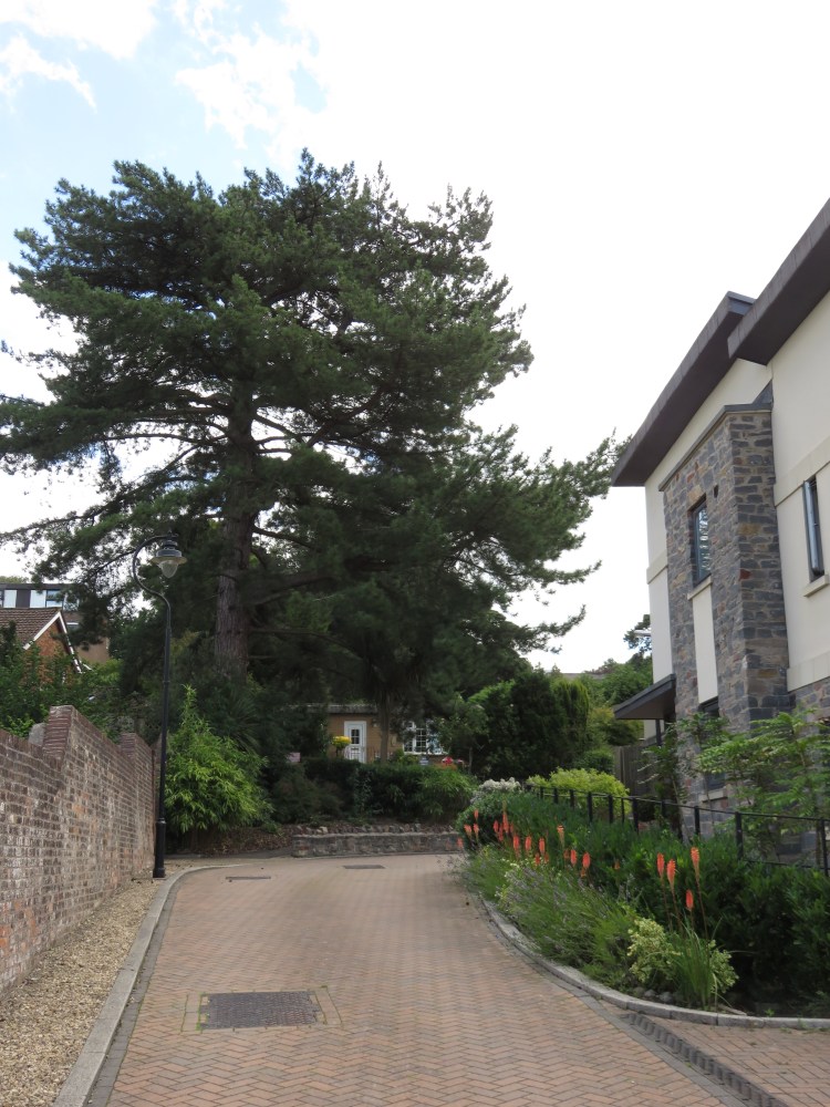
Church Road is a long straight road whose main feature is a row of tall, impressive pine trees.
Just before the pine trees, turn right into Chancel Close (21).
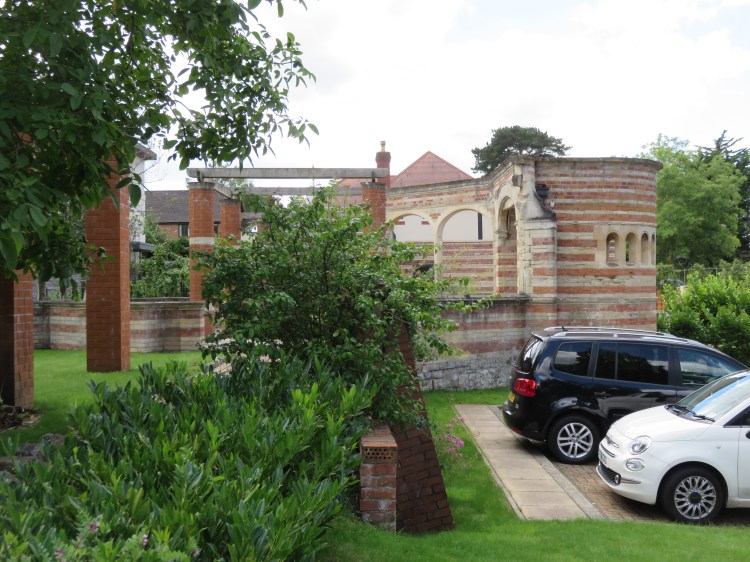
Chancel Close is a modern housing development on a former prefab site that was previously known as Sanctuary Gardens. To the right, as you enter the street, is an unusual historic garden structure.
Make your way around the road to the left of the houses. At the top of the slope, where the road turns to the right, go straight on onto a footpath next to a tall conifer tree (22).
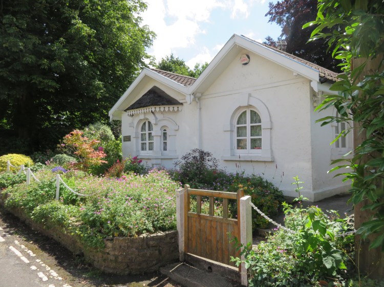
The footpath will take you past No.10 Sanctuary Gardens, the last surviving prefab home on the site, whose extremely pretty English country style garden shows that it has been well-loved for many years.
At the top of the footpath, turn left onto Knoll Hill.
The charmingly named Knoll Hill will lead you gradually up to flatter ground. Optionally, take a brief detour to the right along Cook’s Folly Road to see Cook’s Folly itself, an imposing stone house that looks like a castle.
Return to Knoll Hill and continue following it to reach SeawallsRoad.
At the junction with Goodeve Road, note the imposing gates to Greystone Lodge on the right (23).

Go straight on along Seawalls Road. When the road turns left onto The Avenue, go straight on into a cul-de-sac section of Seawalls Road (24).
On this section of Seawalls Road you will encounter the quaint lodges of the large Victorian houses that used to line the clifftop here. They are now in use as small private houses.
At the end of Seawalls Road, go through the pedestrian gate to return to the Downs. Bear right across the grass to reach Circular Road and follow it to the edge of the cliff (25).
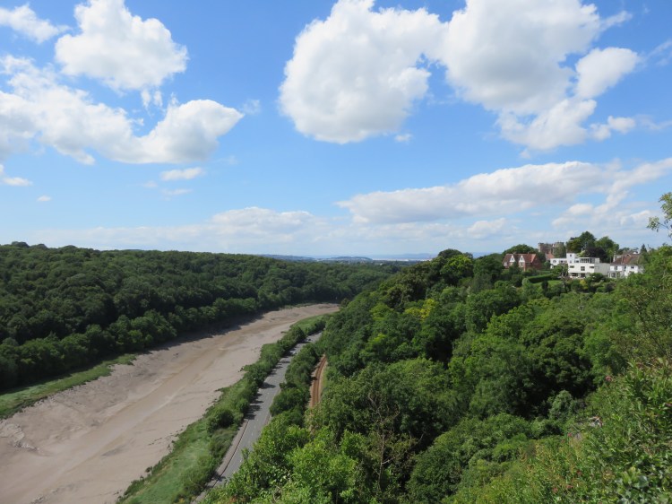
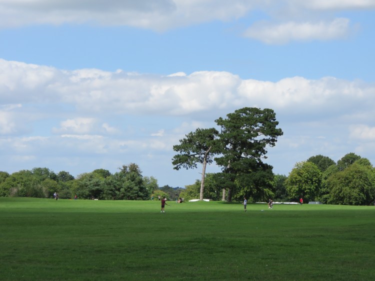
You have reached the section of Durdham Down that is known as the Seawalls. It is the best point from which to view the magnificent Avon Gorge. To the left you can see the Clifton Suspension Bridge, while to the right you have a distant view out towards Avonmouth (Walk Sixteen ‘Northern Clifton and the Downs’ approaches this same point by a different route). You may want to consider stopping here for an ice cream from the ever-present ice cream van. Should you require them, there are public toilets nearby.
Begin making your way back across the Downs. Set a roughly diagonal course across the grass, keeping the distant water tower just off to your right.
The Downs are a popular destination in north Bristol for general relaxation, dog walking, jogging and kite flying. The Downs also play host to a local football tournament, the Downs League.
The Downs are actually two conjoined spaces, Durdham Down and Clifton Down. This section, Durdham Down, is the flatter and more open of the two, and has been providing a recreational amenity for the people of Clifton, Redland, Westbury Park, Stoke Bishop, Sneyd Park and beyond for over a Century.
You will converge gradually on Ladies’ Mile, which crosses the downs from behind you the right, but do not cross it. Eventually you will reach Stoke Road, the main road that crosses the Downs from left to right (26).
On Stoke Road, Café Retreat occupies a decorative little building that was once a public toilet.
Cross Stoke Road and continue on a diagonal path, making for busy Westbury Road to the right, where there is a set of traffic lights next to a bus stop (27).
To the left as you approach the traffic lights, note the Seven Sisters, a circle of handsome pine trees. Over the years, several of the trees have been lost to storms and other damage, and they now number only three. A new circle of pine trees has been planted a short distance beyond.
Cross Westbury Road at the traffic lights. Turn left briefly and then bear right onto a diagonal path across a smaller area of the Downs planted with trees, crossing Clay Pit Road in the process.
Known during my early childhood as the ‘traffic light path’, this walkway cuts across a leafy area that is good for conkers in the autumn as there are a number of horse chestnut trees.
After a while, the path converges on a street called Westbury Park (28), sharing its name with the adjoining residential area. Follow Westbury Park until the junction with Royal Albert Road and then take the path that is set back from the road to the right, following the edge of the green space.

The houses along this last little stretch of the walk have an enviable position, set back at some distance from the busy traffic on Westbury Road and with pleasant views of the Downs.
At the end of the path, turn left onto North View to return to the White Tree Roundabout and complete Walk Twenty-Four.
Coming Up
In Walk Twenty-Five ‘Ashton Court, Leigh Woods and the Avon Gorge’ we will cross to the far side of the Avon Gorge to check out some of the major green spaces that lie beyond, including a large country park and an attractive area of mixed woodland. We will also visit the village street of Bower Ashton and the leafy suburb of Leigh Woods.
