Last updated: January 2021
Walk Map | Download walk as PDF
Walk Thirty-Two explores the area around Shirehampton, a northwest Bristol suburb that retains a self-contained ‘village’ feel. As well as a traditional village centre, the area offers a great variety of green spaces, including the post-industrial nature reserve of Lamplighter’s Marsh, a well-kept cemetery, the woodlands of Penpole Wood and King’s Weston Estate, the carefully curated golf course landscape of Shirehampton Park and the pleasant woods and meadows of the Avon Riverside.
This sprawling but rewarding circuit links all of these spaces together, exposing features of historic interest along the way, with the only major on-road section being in and around Shirehampton Village itself. There are fine views of the rivers Avon and Severn from the higher parts of the route. With its hills and occasionally muddy ground, it’s also a good workout.
Useful Information
Terrain: Hilly. Includes steep steps.
Ground: Paved and unpaved. Some areas may be soft and slippery underfoot, particularly during the winter or after wet weather. Unfortunately there is no accessible alternative route available.
Key Attractions: Lamplighter’s Marsh Nature Reserve, Shirehampton Cemetery, Shirehampton Village, Penpole Wood, King’s Weston Estate, Shirehampton Park, Avon riverside, Daisy Field.
Refreshments: Pub at the start and finish of the route and a variety of food and drink options in Shirehampton Village.
Starting point: The Lamplighter’s, Station Road, Shirehampton
Getting there: The starting point is a couple of minutes’ walk from Shirehampton Station on the Severn Beach Line. Free car parking outside the Lamplighter’s and in nearby streets.
Approx. Time: 3 hours 45 minutes
Approx. Distance: 6.6 miles
The Route
Our route starts outside the Lamplighter’s, a Georgian pub at the end of Station Road. Station Road itself is home to a number of Georgian buildings. This unexpected historic interest may be related to the historic presence of a ferry across to Pill on the other side of the River Avon, and/or the historic importance of this area as a holding location for vessels waiting on the tide to travel into the City Docks.
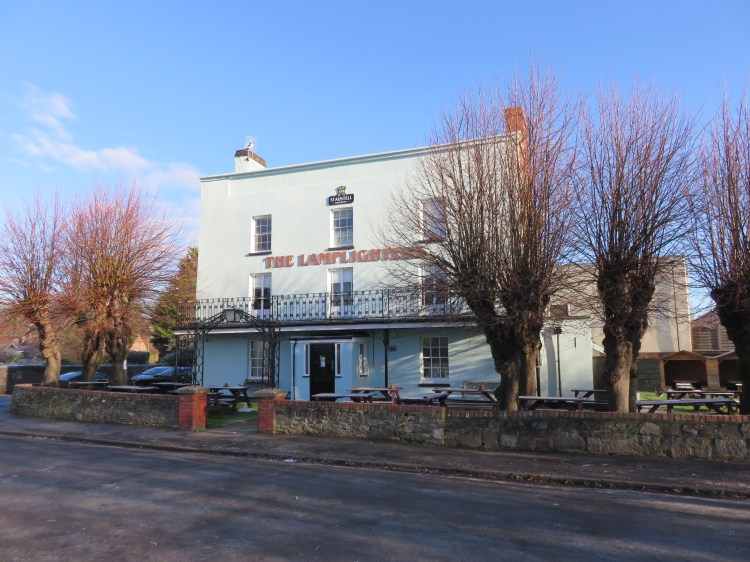
The historic Lamplighter’s pub is the main opportunity to stop for refreshments outside of Shirehampton Village itself.
At the foot of the road here you have a good view across the River Avon to the harbour at Pill (see Walk Thirty-Three ‘Ham Green and Pill’).

Begin the walk by following the access road to Lamplighter’s Quay (1), which is on the left if you stand facing the front of the pub.
The access road is bounded by bramble scrub. On the left you will see one of the Severnside sirens, which were set up in the 1990s to alert local people to chemical emergencies in the nearby Avonmouth industrial area.
Reaching a gate, continue straight on onto a footpath (2).
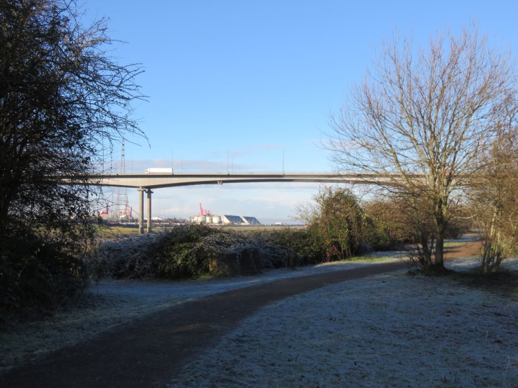
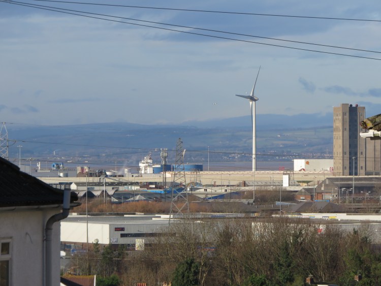
You are now in Lamplighter’s Marsh Nature Reserve. This is a post-industrial landscape that is now rich in wildlife. The brambles and native scrub provide habitats for all sorts of creatures, while the poor soil is also good for certain wildflowers. Bits of rail ballast and iron girders can still be found embedded in the ground. From various points along the way, you can enjoy views across the river towards Royal Portbury Dock. The Avonmouth Bridge, carrying the M5 Motorway over the river, dominates the landscape.
Continue following the main path through the nature reserve and you will eventually emerge on West Town Road, under the Avonmouth Bridge. Turn right onto West Town Road, crossing a level crossing (3).
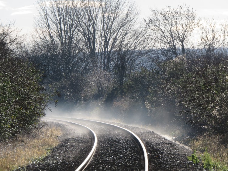
The level crossing carries the Severn Beach Railway Line on its way to Avonmouth.
Make your way along West Town Road. Cross the A4 Portway at the traffic lights and climb the steps opposite to reach Ermine Way.
The Portway is the main road for traffic travelling to Avonmouth from central Bristol, although it is also home to some pleasant-looking houses. Ermine Way represents a later phase in the suburban development of Shirehampton / Avonmouth, and contains a number of council houses of non-standard construction.
At the end of Ermine Way, turn right into St. Mary’s Road (4).
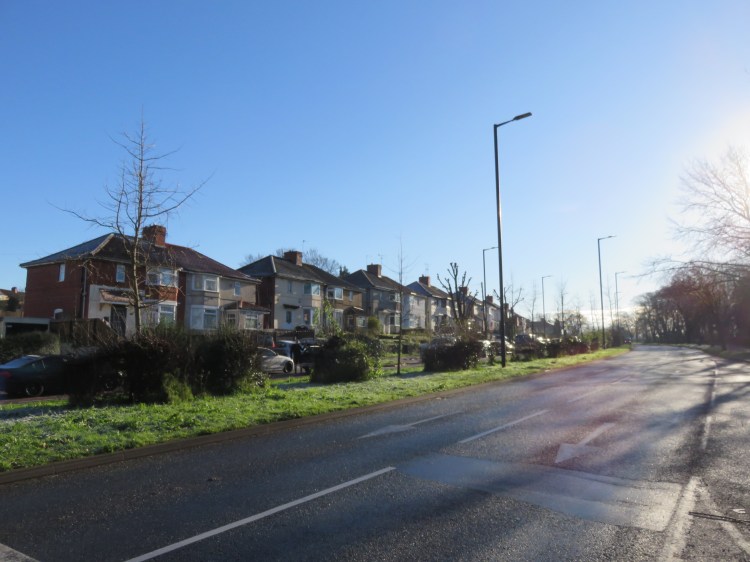
St. Mary’s Road is a pretty routine residential street, but it is not unpleasant, with plenty of greenery and fragments of historic stone walls. The long climb is a necessary exercise to reach the more historic parts of Shirehampton Village.

Eventually, when you reach the top of the hill, you will arrive at the green oasis of Shirehampton Cemetery on the right (5).
Turn right through the main gates to enter the cemetery. Explore the cemetery at your leisure.
The tree-lined main driveway gives the cemetery a dignified central avenue, leading to a small garden of remembrance that is usually well-stocked with colourful tributes. Off to the left, the chimney pots of the terraced houses on Priory Road give the space an historic backdrop.
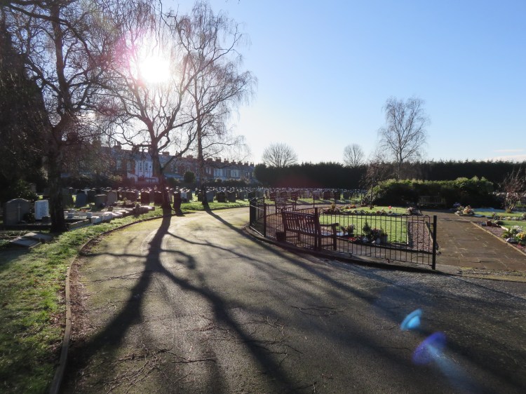
When you’re done, return to St. Mary’s Road via the main gates (5) and turn right.
You will begin to enter more historic surroundings as St. Mary’s Road curves round a double bend and then ends at a crossroads (6).
Go straight on into Pembroke Road.
Pembroke Road is an interesting little street that runs to the rear of Shirehampton’s main High Street. It is home to a curious mix of modern and historic buildings. Before long you will pass St. Mary’s Church, the main parish church for Shirehampton, which sits opposite the highly modern Shirehampton Health Centre. The church is soon followed by a little terrace of Georgian cottages.
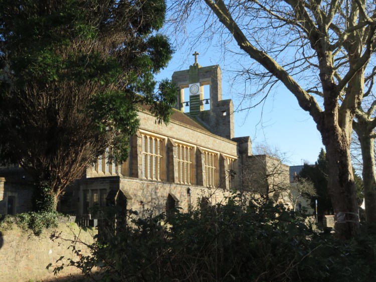
Just after the church, turn right into Bradley Crescent (7).
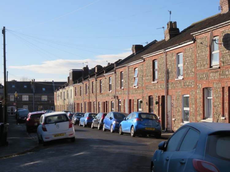
Bradley Crescent is one of a series of unusually long, unbroken residential terraces that characterise this tucked-away part of Shirehampton. The cottages have a variety of designs and materials. The North Somerset countryside can be glimpsed in the distance.
About half way down, turn left onto a tiny footpath between Nos. 42 and 44 (8).
The Z-shaped footpath snakes around the backs of the houses on Bradley Crescent and Bradley Avenue. Crossing Bradley Avenue and continuing straight on, you will eventually emerge on Pembroke Avenue at the rear of St. Bernard’s Primary School (9).
Turn right onto Pembroke Avenue and follow the road round the bend to emerge on Station Road next to St. Bernard’s Church.
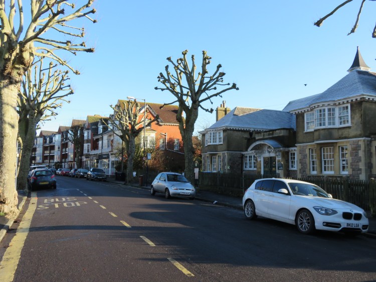
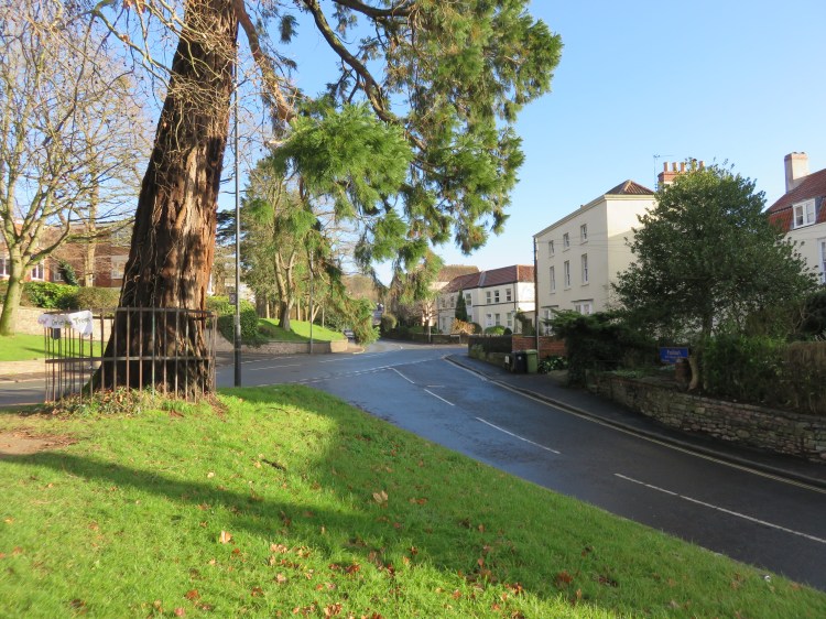
This part of Station Road is very different to the part you started on at Lamplighter’s Marsh. Graced with tall street trees and an unusually grand style of architecture, it has an upscale character that feels more like London than suburban Bristol.
Turn left along Station Road and follow it until you reach The Green.
The Green is the heart of Shirehampton Village. It is the historic village green, unfortunately bisected by a road running across the middle of it, but a handful of mature specimen trees and surviving Georgian buildings ensure that the space retains a sense of distinction.
Bear left onto the High Street.
Shirehampton’s High Street retains the feel of a traditional village centre, equipped with a variety of shops, cafés and pubs (including The George Inn, a landmark pub in a 1930s red brick style).
Shirehampton Village is your last opportunity to pause for refreshments on this route. We will shortly be entering the first of a series of semi-wild green spaces that will make up the rest of the circuit.
Cross the High Street at the zebra crossing outside The George Inn (11) and then turn right up Penpole Avenue.
Penpole Avenue is a narrow little terraced street that climbs fairly steeply up to an ordinary suburban street called The Ridge. Once you get to the top, look behind you and you will start to get some decent views of the North Somerset countryside.
Turn right along The Ridge. Turn left onto a stepped footpath opposite the junction with Penpole Place (12), signed for Penpole Wood.
The steps will lead you up to the end of a small road called Oaktree Court.
Turn left onto Oaktree Court then, at the turning area outside No.29, turn right and climb up to another footpath signed for Penpole Wood.
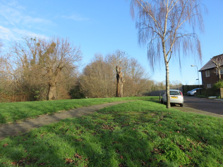
The path runs between a small covered reservoir on the left and the raised playing fields of Oasis Academy Brightstowe on the right, eventually emerging on Penpole Lane (13).
Turn left onto Penpole Lane and make your way down the hill, keeping the woods to your right. You are now walking along the edge of Penpole Wood, a large natural green space that is attached to the King’s Weston Estate. We will be climbing to the top of Penpole Wood shortly – but first we have to go downhill for a while. The lane has a fairly peaceful, semi-natural feel, running to the rear of various modern housing developments on the left.
As you approach the bottom of the hill, the lane becomes more residential. You can now glimpse a view of the Severn Estuary between the houses ahead of you. Off left, there is a good view of the Avonmouth Bridge and the hilltop housing of Portishead in the distance.
Reaching a sharp bend to the left (14), turn right instead onto a narrow lane. Turn immediately right again onto a bridleway climbing steeply up Penpole Hill.
At first you will find yourself climbing a long flight of steps. You can glimpse views of Avonmouth and the Severn Estuary through the trees. After a while, this gives way to a shallower earthen path. At length you will emerge at the top of the hill next to a triangulation marker at Penpole Point. A strange stone monument stands in the middle of the path here.

Reaching a grassy clearing just past Penpole Point, bear left past a ruined lodge to join a broad track running through Penpole Wood (15).
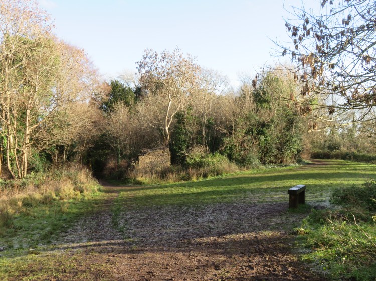
The track through Penpole Wood contains a variety of interesting trees. Off to the left, you can again glimpse views of the Severn Estuary, this time with the housing of Lawrence Weston in the foreground. Parts of this section can get muddy at times.
The track continues through the woods for quite some time until it suddenly emerges on a tarmac path going from right to left (16).
Turn left onto the tarmac path.
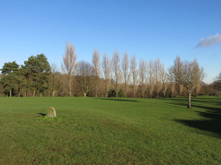
Proceeding along an avenue of trees next to an open grassy area, you will soon find yourself approaching King’s Weston House. This fine Georgian property faces out over a view-commanding field with panoramic views of the Severn Estuary, including the landmark Prince of Wales Bridge. Don’t miss the tall tree laden with mistletoe next to the house.

Approach the house and then turn right past the front doors, entering the garden (17).
The garden is dominated by a large cedar tree. To the left you will find a water feature running for the length of the lawn.

Follow the main path into the woods.
At the end of the path you will arrive at an unusual stone structure: a rather shadowy loggia of sorts in the depths of the woods (18).
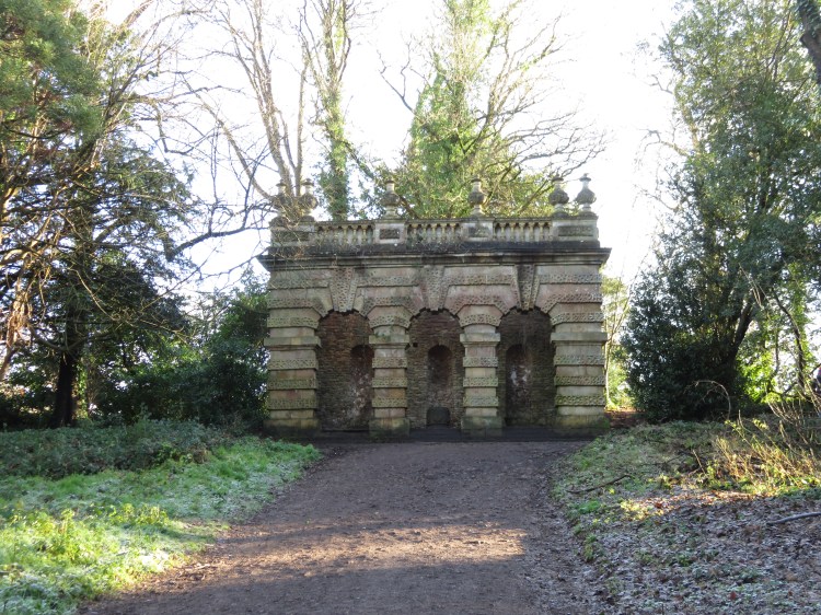
Take the staircase just to the right of the loggia to emerge on a footpath running along the highest point of the estate.
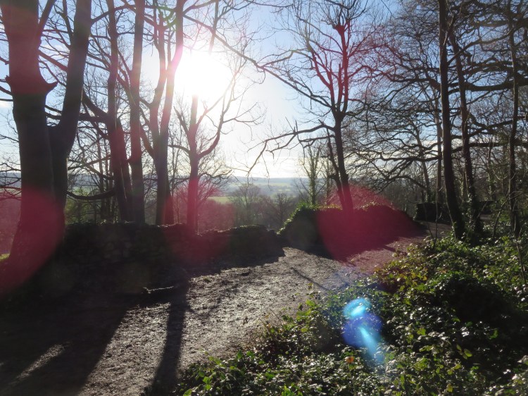
The path runs alongside a tumbledown stone wall. Between the trees, you can see panoramic views out over Shirehampton Park towards Sea Mills, Sneyd Park and the River Avon. Off to the left is an old iron footbridge over King’s Weston Road that connects the King’s Weston Estate to Blaise Castle Estate (see Walk Twenty-Three ‘Blaise Castle Estate and King’s Weston Down’). The bridge has been closed for years following a vehicle strike, but it is hoped that it will be reopened in the future.
Turn right along the footpath, following the wall.
Eventually, the footpath reaches a crossroads with the same tarmac path that you encountered earlier (19).
Turn left towards a car park. At the beginning of the car park, turn right and follow a trodden path across a field to reach the junction of Shirehampton Road and Penpole Lane (20). Cross Penpole Lane and go straight on down Shirehampton Road.
On Shirehampton Road you will quickly pass Shirehampton’s simple white war memorial. Off left you will start to get views of the carefully curated landscape of Shirehampton Park.
After you pass Shirehampton Cricket Club, Shirehampton Road becomes Park Hill. Opposite, the classical portico of Park Lodge marks the boundary between Shirehampton Park and Shirehampton Village (21).

Cross the road and walk in through the driveway of Shirehampton Park Golf Club. Locate the unmarked public footpath leading down into Shirehampton Park, which can be found in the extreme right hand corner of the car park.
The public footpath begins as a steep and muddy little path running down through the trees. Tread carefully, as it can get slippery when the ground is wet. Before long, the path straightens out and traces a shallower course alongside a stone wall at the edge of the park.
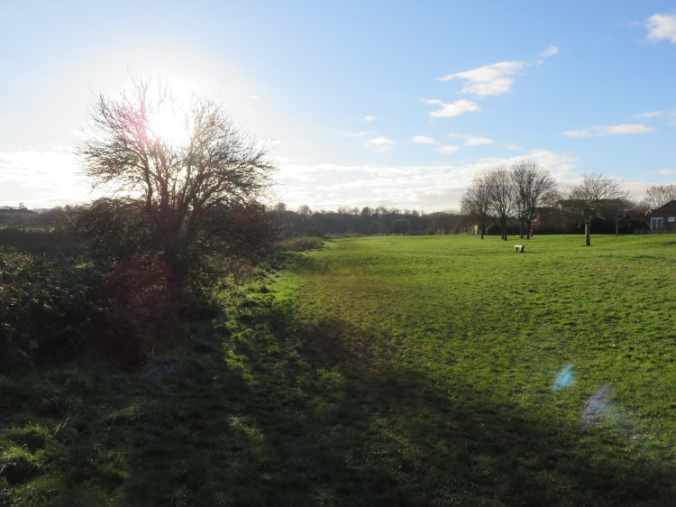
After a while, the path ends at the lower corner of the park next to a gate (22). From here you can look up the grassy slopes of the golf course, which are beautifully maintained and planted with a variety of small trees.
Without going through the gate, turn left and follow another path along the lower edge of the park.
The path along the bottom of the park climbs gradually upwards, winding in and out of trees and scrub. Beware, as this area can also get slippery and muddy when wet. Eventually, however, you will emerge in a more open area and the path becomes a grassy route along the boundary of the golf course, allowing you to fully enjoy the parkland landscape.
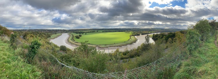
When you get to a gap in the undergrowth along the boundary fence (23), pause to check out the view. You are at an elevated position above the Portway. From here you can look out over a lovely area of countryside on the infamous Horseshoe Bend of the river Avon, on which several ships once broke their backs.
Continue along the lower edge of the golf course.
After a while the path begins to descend – with a decent surface – towards the Portway. You will reach a gate leading out into the road (24).
Cross the Portway. Be very careful: there are several traffic lanes and a 40mph speed limit, with no central island.
On the far side of the Portway you will find a disused layby with a gate leading into a field.
Enter the field.

This offshoot of Shirehampton Park has a wilder feel.
Turn right and follow the upper edge of the field next to the Portway.
The path climbs up until it enters some woods. It winds through the woods before descending a very steep flight of steps to emerge at a viewpoint on the Portway itself (25), which offers further views out over the river.
Cross the viewpoint and go through a gate at the far end, leading onto another footpath.
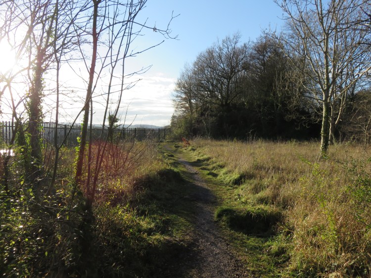
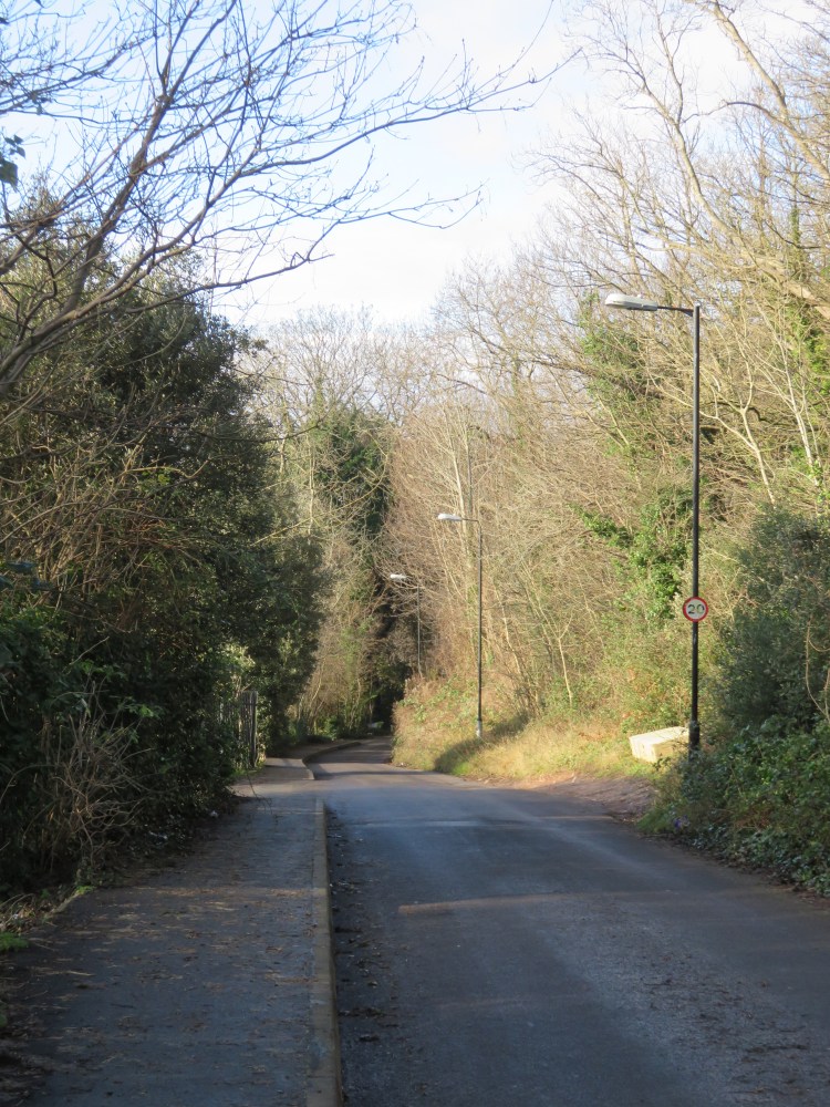
The footpath winds through more woods before turning into a long, straight track that descends gently between some allotments and a cutting containing the Severn Beach Railway Line. At the end of the track, you will emerge on narrow Woodwell Road (26).
Turn left onto Woodwell Road, crossing a tiny railway bridge. Follow the winding road down the hill. Reaching a T-junction, turn left into Northleach Walk (27). Take the first right to reach a grassy meadow next to the river.
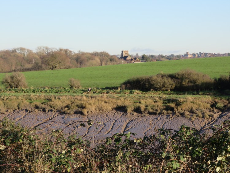
The Avon riverside along the edge of Shirehampton consists of a series of grassy recreation grounds linked by a riverside path. This first space offers an interesting view across the Horseshoe Bend to St. Edyth’s church in Sea Mills.
Bear right past the houses and then make your way along the lower edge of the field.
At the end of the field, the riverside path continues past the fenced grounds of the City and Port of Bristol Social and Sports Club (28). Be warned that this section can get muddy in winter. After a short while, the path opens out again and you will find yourself in the Daisy Field with views across the river to Pill harbour. This public park provides a popular playground that serves the adjoining residential area.

Continue along the riverside. Beyond the playground (29), join the tarmac path to return to the Lamplighter’s and complete Walk Thirty-Two.
Coming Up
In Walk Thirty-Three ‘Ham Green and Pill’ we will hop across the River Avon for a much shorter stroll around one of Bristol’s nearest neighbouring villages, a working community with an atmosphere all of its own.
