Last updated: April 2021
Walk Map | Download walk as PDF
Lawrence Weston is a large council estate on the edge of Bristol, somewhat cut off from the rest of the city and sandwiched between Kings Weston Down and Avonmouth.
It may not seem like the most obvious place to go for a walk but, like nearby Avonmouth (see Walk Thirty-Four ‘Hallen and Avonmouth North’), there are some interesting traces of the area’s rural history to be found between the streets of post-war semis. There are also several attractive wild or semi-wild places to be found across the area.
Starting with a detour into Blaise Castle Estate, this circuit goes on to reveal the best of what Lawrence Weston has to offer. Inevitably there will be some time spent on more ordinary suburban streets in the process.
Useful Information
Terrain: Largely flat or gently downhill, but with three significant climbs.
Ground: Paved and unpaved, and some sections may be soft underfoot in winter or after wet weather. There is no fully accessible route available, as this would miss out too many of the more natural areas.
Key Attractions: Blaise Castle Estate, Kings Weston Down, Kings Weston (historic estate buildings), The Tump nature area, Kings Weston Roman Villa, Lawrence Weston Community Farm.
Refreshments: Café at Blaise Castle Estate.
Starting point: Blaise Castle Estate car park, Kings Weston Road
Getting there: Kings Weston Road is served by buses to Cribbs Causeway running via Shirehampton and Avonmouth. Nearby Station Road, Henbury, is served by more direct buses running to Cribbs Causeway via Westbury-on-Trym.
Approx. Time: 2 hours 30 minutes
Approx. Distance: 5.5 miles
The Route
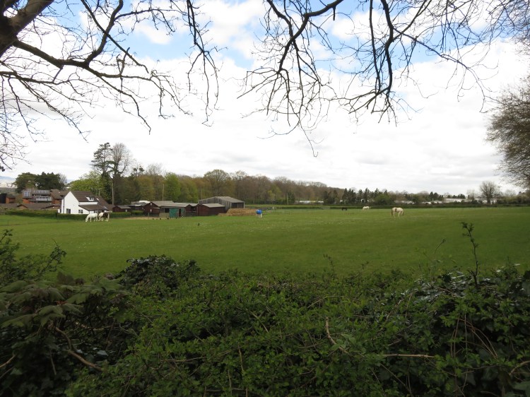
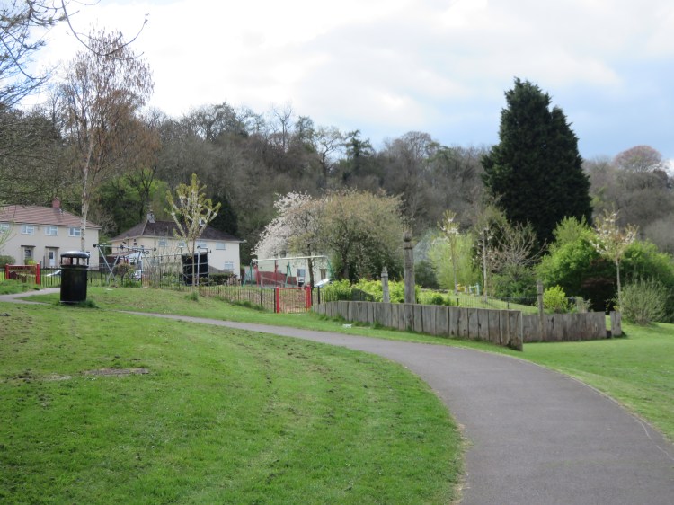
Our route starts at the main Blaise Castle Estate car park on Kings Weston Road, next to a broad and attractive grassy area, bordered by woodland, which is the recreational heart of the estate.
The café at Blaise Castle Estate is the most convenient place on this walk to get a snack or a non-alcoholic drink.
We will not be spending a long time here on this route. To explore the estate more fully, see Walk Twenty-Three ‘Blaise Castle and Kings Weston Down’.
Placing the car park and the road behind you, make your way diagonally across the grass to the right, making for the far end of the nearest belt of woodland (1).
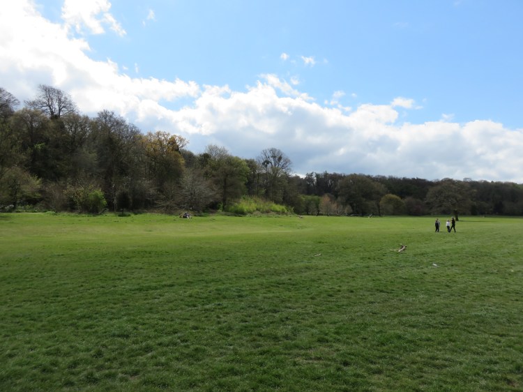
Follow the curve of the woodland edge until you reach a dirt path along the edge of the next woodland area (2).
The last part of the grassy area contains several large old trees that stand apart from the woodland.
Turn right onto the dirt path and enter the woods. Go straight on up the hill, ignoring the path that comes in from the right (3), and you should find a flight of steps. Climb the steps to reach Kings Weston Hill. This is the first of several areas of potentially soft ground on this route.
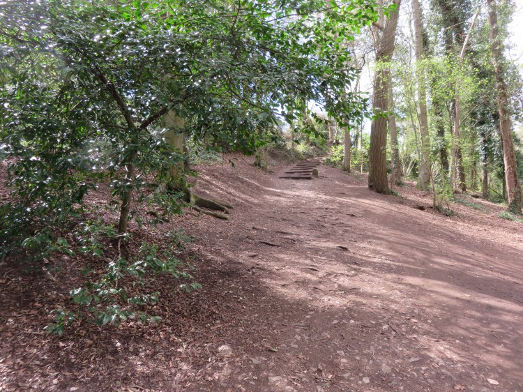
The open area at Kings Weston Hill was an Iron Age hill fort. The remains of the earthworks are visible ahead of you. The hill is part of a prominent landscape ridge that is sometimes known as Kings Weston Down.
Make your way along the open area of the down.
Walk Twenty-Three ‘Blaise Castle and Kings Weston Down’ explores this area more fully, but we are just using it to avoid a section of the main road and will soon be heading down into Lawrence Weston.
As you leave the hillfort, there are two small clumps of native scrub in the middle of the grassy area. A public footpath crosses the top of the hill just beyond the second clump of scrub, before you get to a line of freestanding trees.
Turn right onto this footpath, heading down into the woods next to a wooden bench (4).
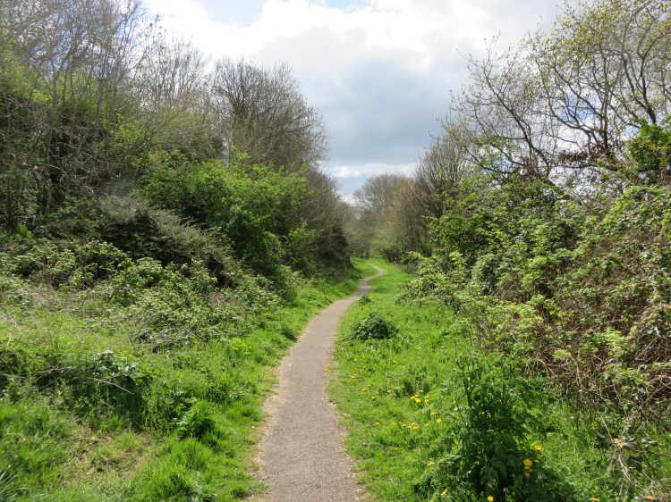
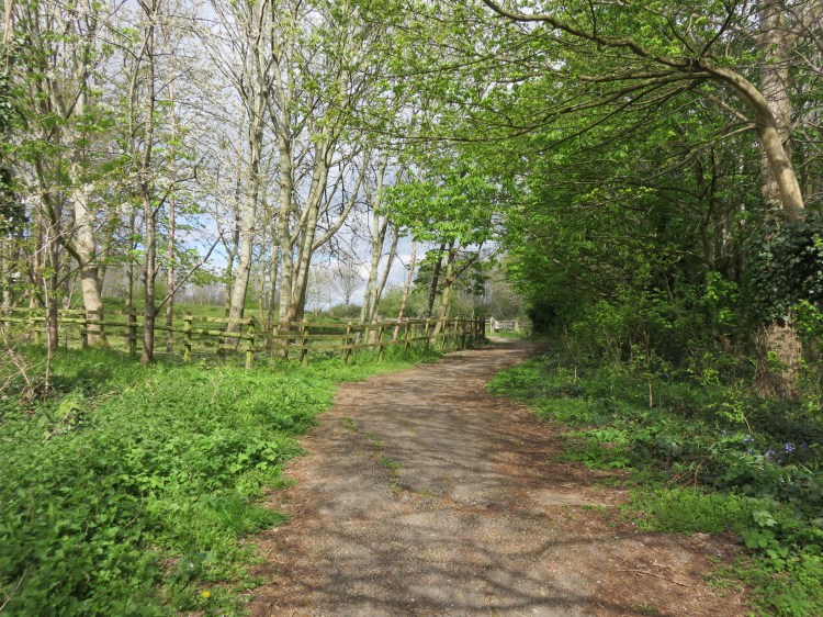
The path turns into a pleasant woodland track, which is home to a few bluebells in the spring. This is another area where the ground may be soft at certain times of year.
The track descends through the woods towards Kings Weston Road, eventually passing a horse paddock on the right (5).
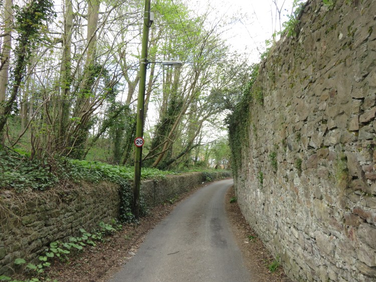
Reaching the main road, Kings Weston Road, cross over and go straight on down Fernhill Lane.
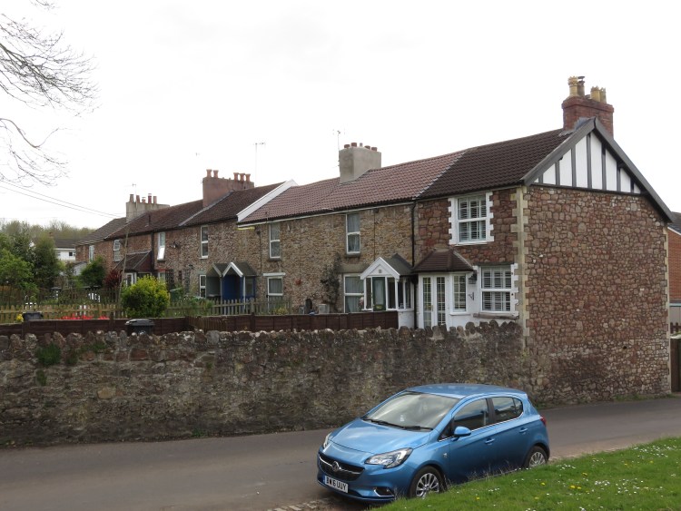
Fernhill Lane is the pleasant route by which we will penetrate the Lawrence Weston housing estate for the first time. One of the old country lanes that still survive within the development, this one retains most of its historic character, with fields, woodlands and stone walls.
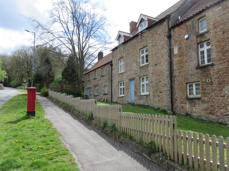
You will eventually reach a junction next to a few pretty old houses (6). Ahead, Fernhill Lane ends at a dead end next to Broadlands Drive.
Turn left before the dead end section, onto Commonfield Road.
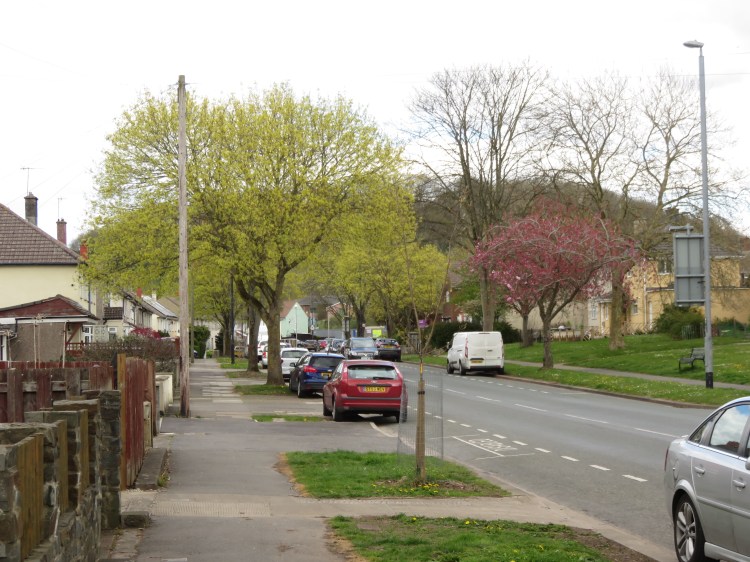
Commonfield Road is typical of the upper part of Lawrence Weston. The houses are extremely ordinary, but they are separated by an attractive grassy bank. This will be a recurring feature of the next part of the walk.
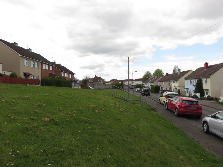
Reaching a crossroads, turn left to climb Oakhanger Drive.
There are gaps in the townscape around Oakhanger Drive where properties have been demolished. The gaps are due to be filled with new houses in the near future.
For now, enjoy the view back up towards the woods of Kings Weston Down as the climb levels off and you make your way along the upper edge of the estate (7).
At the end of the level section of Oakhanger Drive, bear left onto the cul-de-sac Meere Bank (8).
Meere Bank continues the grass-edged design of the estate.
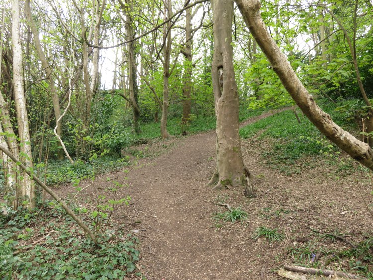
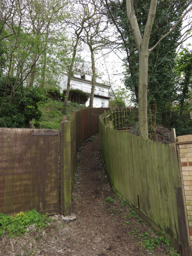
At the end of the cul-de-sac, take the path that leads down into a small green space at the right-hand corner. Bear left past a large tree to enter an area of woodland via a small pedestrian gate (9).

Entering an area of bluebell woods, you will reach a footpath crossing from left to right. A marker post identifies it as the ‘Severn Way Bristol Link’ (10).
Turn right onto the Severn Way Bristol Link, climbing very steeply uphill. Once again, the ground may be soft here.
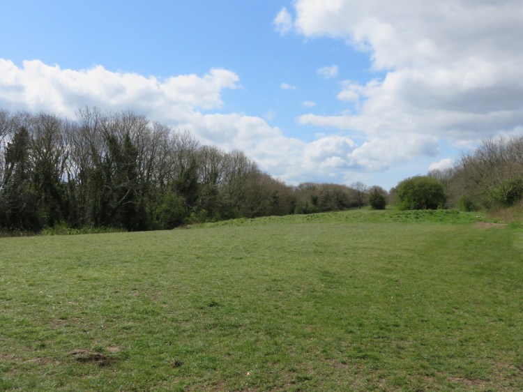
The winding path will eventually bring you out in a large field below Napier Miles Road.
Make your way along the right-hand edge of the field.
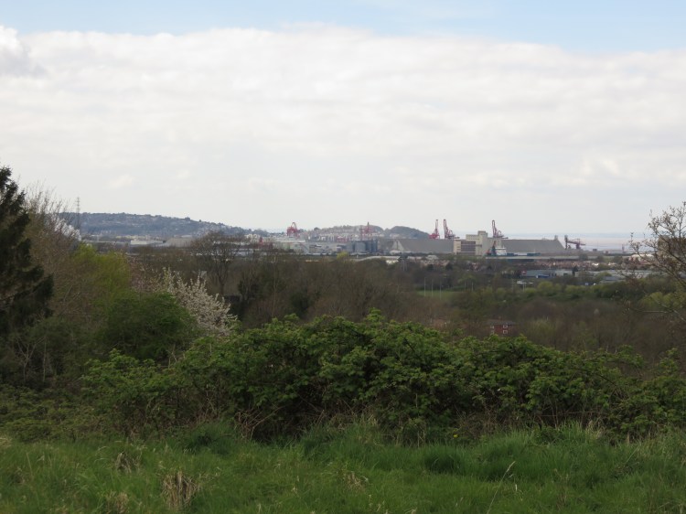
As you walk along the field, you will get an interesting view out towards the Severn Estuary, including Royal Portbury Dock and Portishead beyond.
Before you reach the far end of the field, cross to the left-hand corner to exit via a gate onto Napier Miles Road (11). Turn right.
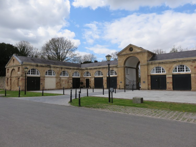
Napier Miles Road is home to a collection of unique historic buildings. You are close to Kings Weston House here (see Walk Thirty-Two ‘Shirehampton and Kings Weston House’), but any historic connection with the estate is now unclear.
On the left, a walled pond flanked by derelict lodges conceals a Georgian house that is now used by Kings Weston School. On the right, you will find a particularly fine stable block which has been converted to homes.
Continue to the end of Napier Miles Road, reaching Kings Weston Lane. Carefully cross the road and turn right, following the raised footpath above the carriageway (12).
The footpath through the woods on the edge of the Kings Weston House estate makes a pleasant alternative to the busy and dangerous road below. You will rejoin a more conventional pavement after you cross the end of Mancroft Avenue.
Kings Weston Lane is another of the old country roads through this area, but it has not retained all its character, extensively widened and redeveloped more than once since its rural origins. However, on the left you will still find the imposing stone buildings of Home Farm (13).
At the lower corner of Home Farm, turn left onto Barrowmead Drive and immediately right onto Moor Grove.
Moor Grove is another typical Lawrence Weston street, but it is elevated from the totally mundane by the attractive belt of trees that winds down the right-hand side. As you descend the hill, you may catch a distant glimpse of an old mill at Avonmouth docks.
Turn left onto a footpath just after No.36 Moor Grove, which runs to the rear of a row of houses that sits at right angles to the street (14).
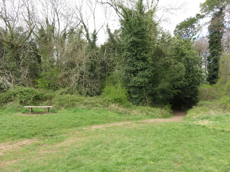
The footpath leads to The Tump, a nature area lined with trees and scrub. Keep an eye out for butterflies and birds.
Follow the path through the Tump until you emerge on Badenham Grove. Bear left towards a sloping grassy square (15).
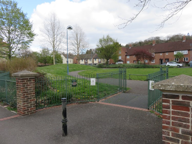
The steep grassy square at Barrowmead Drive and Moorend Gardens provides a pleasant focal point to this part of the housing estate.
Turn right along Barrowmead Drive and then left up Moorend Gardens. At the first corner, take a pedestrian gate leading to Mancroft Park.
Mancroft Park is a decent children’s playground that benefits from an attractive position below Penpole Wood (see Walk Thirty-Two ‘Shirehampton and Kings Weston House’).
Take the path to the left of the children’s play area and then bear right across the unfenced area to join Mancroft Avenue (16).
Make your way down Mancroft Avenue and take the first right, Windcliff Crescent. Just before you come out on the main road, Long Cross, turn left across a grassy area towards a fenced compound (17).
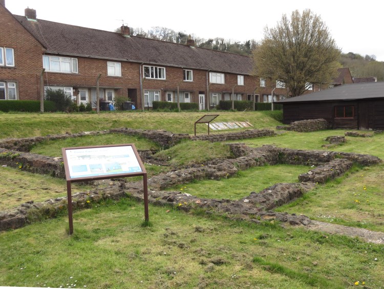
This part of Long Cross is not an attractive street, but it is home to a unique historic feature: the fenced compound contains the remains of Kings Weston Roman Villa. The outlines of several rooms can be seen, as well as the remains of a hypocaust (a Roman underfloor heating system).
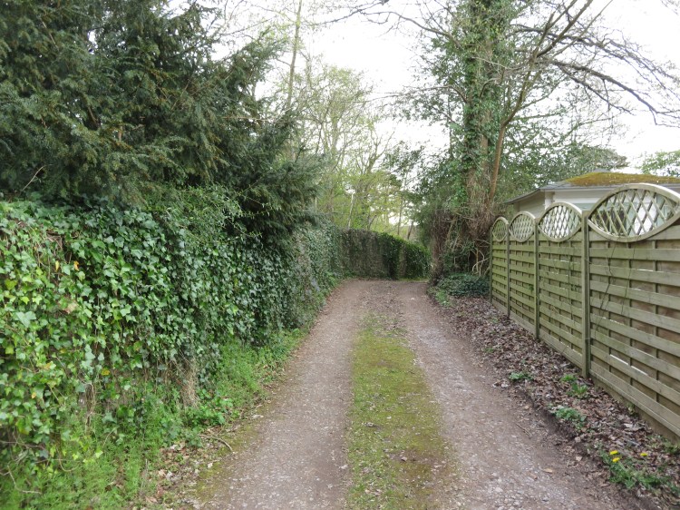
Make your way past the red brick houses at the back of the villa, then join the main road. Cross over at the traffic island and then turn right down a scruffy lane that runs between a block of flats and the Longcross Garage (18).
The lane itself is rather unpleasant, but it will connect you to the next part of our route: a walk along the edge of the wilderness area just outside Lawrence Weston.
You will connect with a cycle path that heads off in two directions (19).
Turn right along the cycle path.

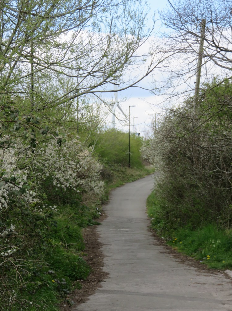
The cycle path is a greenway of sorts that runs along the edge of the Lawrence Weston estate. This first section is bounded by a grassy area on the right and Lawrence Weston Skate Park on the left, a popular local facility.
When you reach the back of the flats on Henacre Road, the path is (at time of writing) blocked by a construction site.
Bear left and walk on the grass along the woodland edge (20).
The construction site is not especially attractive, so turn your attention to the woodland and scrub on the left in search of wildlife.
After a while, you will come back out on Kings Weston Lane.
Cross Kings Weston Lane. Turn right and then left onto Campbell Farm Drive. Immediately turn left onto a gated service road, which provides access to the next section of the cycle path (21).
The next section of the cycle path runs through a slightly wilder area at the back of Saltmarsh Drive. After a while you will reach a footpath leading into Lawrence Weston Community Farm on the left, which you may wish to visit.
Facing the entrance to Lawrence Weston Community Farm, bear right onto a footpath that leads between some of the animal paddocks (22).
The pleasant path will give you a glimpse of some of the community farm’s inhabitants before taking you out into an area of wild scrub to the rear of St. Bede’s Catholic College (23).
Follow the path, going generally straight on, but bearing right at any junctions, so that you circle St. Bede’s’ extensive grounds.
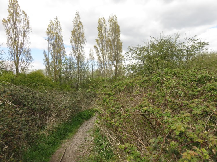
This patch of wasteland serves as a sort of informal wildlife area. Before long you will find yourself walking next to the M5 Motorway beside a row of tall poplar trees.
When a bridge over the M5 rises ahead of you, blocking your way, follow the path round to the right so that you head away from the Motorway. You will eventually come out on a closed section of Lawrence Weston Road (24).
Lawrence Weston Road is another of the old country roads across this area. It runs all the way from Blaise Castle Estate (almost), down through Lawrence Weston itself and out into the modern trading estates of Avonmouth. However, large sections of it are closed to through traffic. This particular section provides a pedestrian and cycle link over the M5. We explore the Avonmouth section in Walk Thirty-Four ‘Hallen and Avonmouth North’.
Turn right along the closed section of Lawrence Weston Road until you come out on a much wider section lined with houses (25). Continue along Lawrence Weston Road towards the main road.
We will be following the fragments of Lawrence Weston Road for a while, looking for historic interest. This stretch is home to one large older property, Willow Tree Cottage.
Reaching the main road, Long Cross, turn left briefly and then turn right into the next section of Lawrence Weston Road.
The next section of Lawrence Weston Road has lost all of its original buildings, but cast your eyes to the right at the junction of Knovill Close for a glimpse of another historic remnant, Aust Farm House (26).
After the left-hand bend onto Beverston Gardens, go through the gates into a small pocket park (27).
Make your way across the green space to reach a short, closed section of Lawrence Weston Road. Turn left, then right onto yet another section of Lawrence Weston Road, climbing up the hill (28).
This final section of Lawrence Weston Road climbs up towards an area of woodland called the Greenhill Plantation. You may wish to take the raised footpath above the grassy bank on the left.
About halfway up the hill, you will find Upper Terrace, an odd historic survivor. It once had a lower counterpart, now long gone.
At the top of the main climb, Lawrence Weston Road turns to the left at the corner of Quarry Lane (29).
Alternative route
The next part of the main route involves a steep and slightly treacherous path with an unfenced drop-off at one point. The path is best avoided in wet conditions.
To avoid the hazard, continue up Lawrence Weston Road, passing another old stone cottage. Continue straight on until you go through a barrier onto De Clifford Road.
Turn right along De Clifford Road and, at the end of the road, go straight on along a footpath to come out on the main road, Kings Weston Road, opposite the entrance to Blaise Nursery. Carefully cross the busy road to rejoin the main route at the corner of Blaise Castle Estate (32).
To continue along the main route, turn right onto Quarry Lane. Just after the first block of flats, take the steep, unsigned footpath to the left of two driveways (30).
Beware, as the unsurfaced path is very steep and could be dangerous when wet.
After climbing steeply for a while, you will pass an unfenced drop-off down to the gardens on the right. The path heads up the hill for a short while longer, allowing you to clamber out onto Greenhill Lane (31).
A rustic backwater with a few scattered houses, Greenhill Lane winds around the back of the Greenhill Plantation, giving you a closer view of the trees, until it eventually comes out on Kings Weston Road.
Carefully cross the busy road and turn left. Follow the pavement until you reach the entrance to Blaise Nursery (32). The alternative route rejoins the main route here.
Next to the entrance to Blaise Nursery, you can re-enter the main grassy area of Blaise Castle Estate.
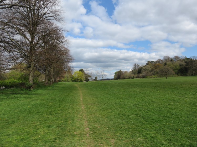
Enter the grassy area, skirting the trees that follow the road and, finally, make your way along the lower edge of the grassy area to return to the Blaise Castle Estate car park and complete Walk Thirty-Six.
