Last updated: October 2020
Walk Map | Download walk as PDF
Siston Common, a lovely grassland area on the rural edge of Kingswood, has existed for centuries, but there can be few areas of common land that have been so changed over the years in the name of transport and progress.
This refreshing walk explores the full extent of the common and discovers how it has been carved up over the years: first by an old mineral tramway, then by the Midland Railway, and latterly by the notoriously busy dual carriageway of the Avon Ring Road. The circuit ties the various fragments of the common together, taking in the Bristol and Bath Railway Path along the way.
Useful Information
Terrain: Undulating.
Ground: Paved except for the final stretch through the upper part of Siston Common; an accessible alternative is provided.
Key Attractions: Siston Common, Mangotsfield Station, Warmley Station, Warmley Forest Park.
Refreshments: Food and drink available at two points en route.
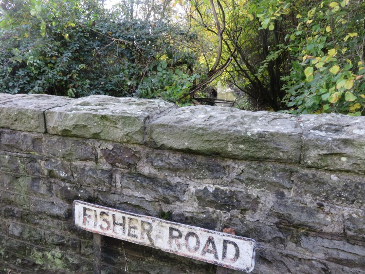
Starting point: Fisher Road, Kingswood
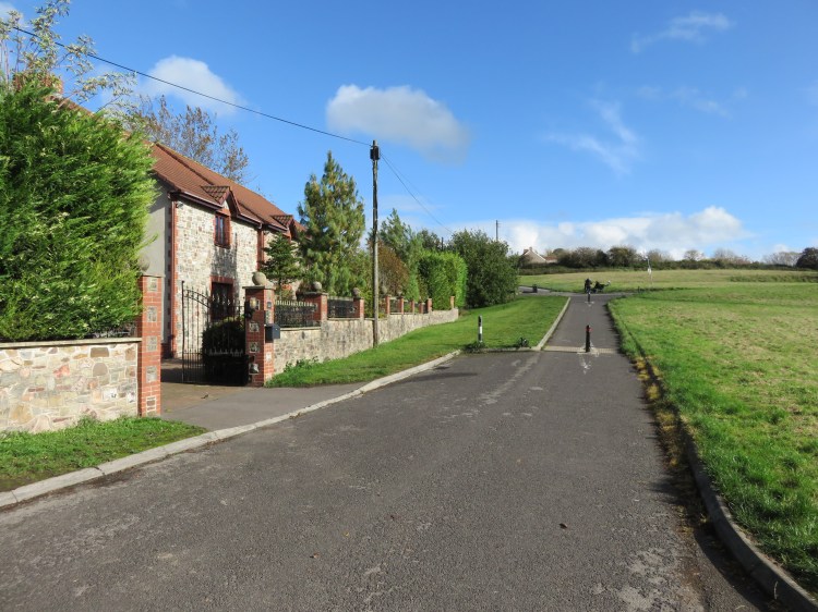
Getting there: You can park on Fisher Road itself. Nearby Anchor Road is served by buses running from Bristol City Centre to Staple Hill via Speedwell and New Cheltenham.
Approx. Time: 2 hours
Approx. Distance: 3.5 miles
The Route
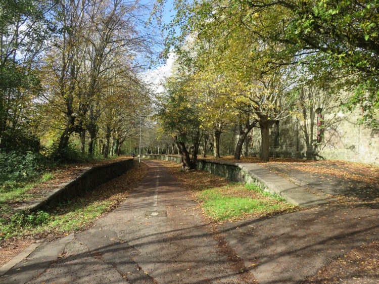
Our route starts on Fisher Road, a seemingly ordinary residential cul-de-sac in Kingswood. If you have travelled the long route out from Bristol via Speedwell to get here, it might seem strange that a main road out of town should end abruptly in a non-place like this; but that’s because, historically, it didn’t end here at all. Originally, before the construction of the Avon Ring Road, Fisher Road continued up over Siston Common, crossing a stone bridge over the former Midland Railway to join Goose Green and Carson’s Road at the top of Siston Hill. We will be tracing parts of that historic route during the course of this walk.
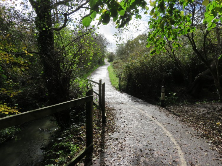
Siston Common is plainly visible at the end of Fisher Road. Begin by walking towards it, crossing a stream at a bridge (1).
This is the Warmley Brook, a tributary of the Siston Brook, which eventually flows through the Willsbridge Valley on its way down to the River Avon (see Walk Twenty-Nine ‘Willsbridge Mill’).
Fisher Road will bring you out on the lower section of the grassland of Siston Common.
After a few moments, the road is downgraded to a cycle path, which reaches a crossroads (2). Here, a small road (also called Siston Common) crosses the open space, carrying with it the Ring Road Path, a cycle route that we will be following later on.
Go straight on, following the old course of Fisher Road up the hill.
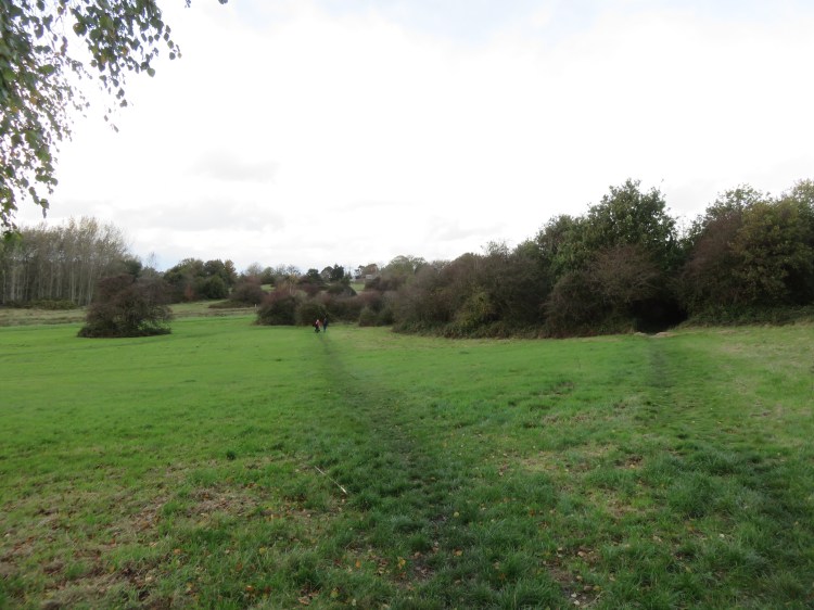
You will quickly reach a point where the Dramway Footpath crosses the road (3). The Dramway path follows the course of the old Gloucester and Avon Tramway. The tramway, which was used to move quarried rock and minerals down to the River Avon near Keynsham, was the first transport intervention to carve up Siston Common. It looks like its impact on the common was less severe than the more recent changes. If you look carefully at the lie of the land, you can see how the dismantled tramway approaches via an embankment from the left, before disappearing into a cutting to the right.
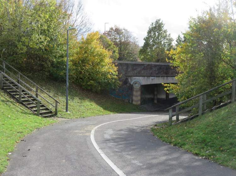
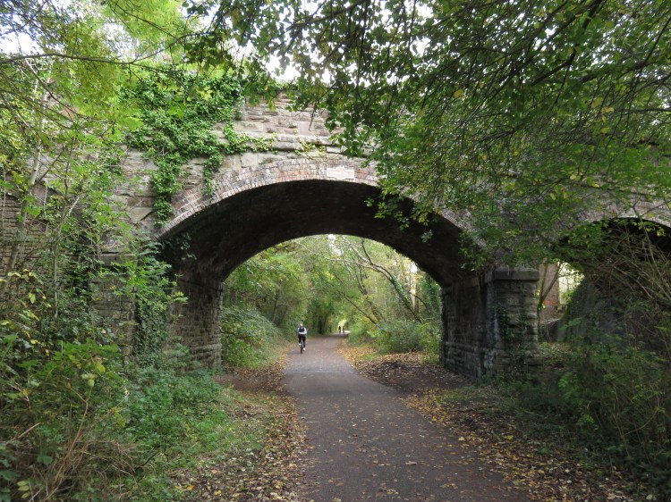
Continue up the remains of Fisher Road. The road ends abruptly where the stone railway bridge used to be. Turn left and climb briefly to reach the Bristol and Bath Railway Path (4).
The Bristol and Bath Railway Path is a long-distance cycle route connecting central Bristol to central Bath. The cycle path is one of the oldest parts of the National Cycle Network, and follows the route of the former Midland Railway main line from Bristol City Centre out as far as Mangotsfield, before turning southeast on the former Midland Railway branch line to Bath. This section of the Railway Path, however, deviates from the old trackbed for the following reasons.
The construction of the Midland Railway was the second major transport intervention to carve up Siston Common. Replacing a stretch of the old tramway, its impact was much more significant: the track was routed through a deep cutting that cut Siston Common in two, linked only by a bridge here at Fisher Road and an underpass at nearby Siston Hill.
When the Avon Ring Road was proposed in the late 20th Century, getting the road across the common land at Siston was a challenge. It was eventually that widening the existing Midland Railway cutting would have the smallest impact on the common, but the proposals still attracted strong objections and protests that delayed progress, and for years this was the ‘missing link’ of the Avon Ring Road. The road was eventually completed in the 1990s, taking significant chunks of common land to widen the railway cutting and construct the large Siston Hill Roundabout a short distance to the north of here.
Today’s Railway Path follows a winding route around the top of Siston Common, crossing the major roads via high-level bridges.
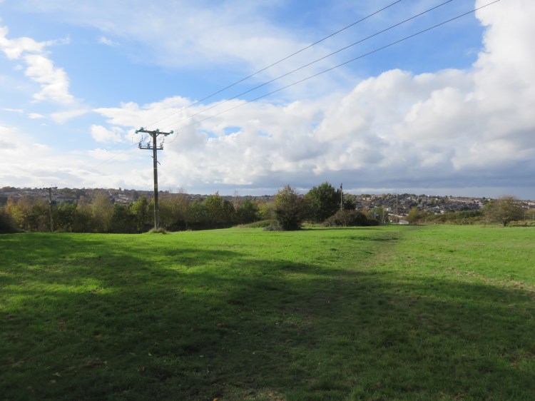
From this vantage point, you have a fine view out over the lower section of Siston Common to the sprawl of suburban Kingswood climbing the hill beyond. The tower of Holy Trinity Church in Kingswood can be seen on the skyline.
Turn left along the Railway Path.
Watch out for bikes, as the Railway Path is very popular. The path passes through mature landscaping that screens it from the Avon Ring Road off right. Watch out for public art as you approach the bridge over the Station Road Link (5).
Beyond the road crossing, the Railway Path skirts a development of modern flats as it curves away from the Avon Ring Road and regains the historic trackbed of the Midland Railway. Shortly you will arrive at Mangotsfield Station.
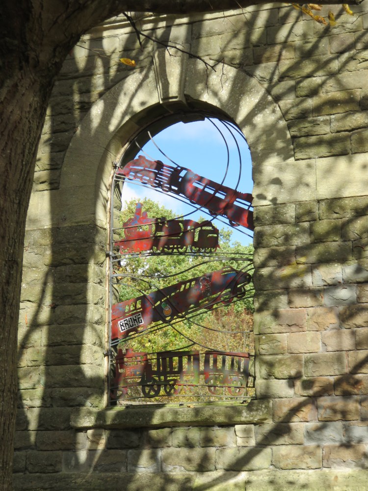
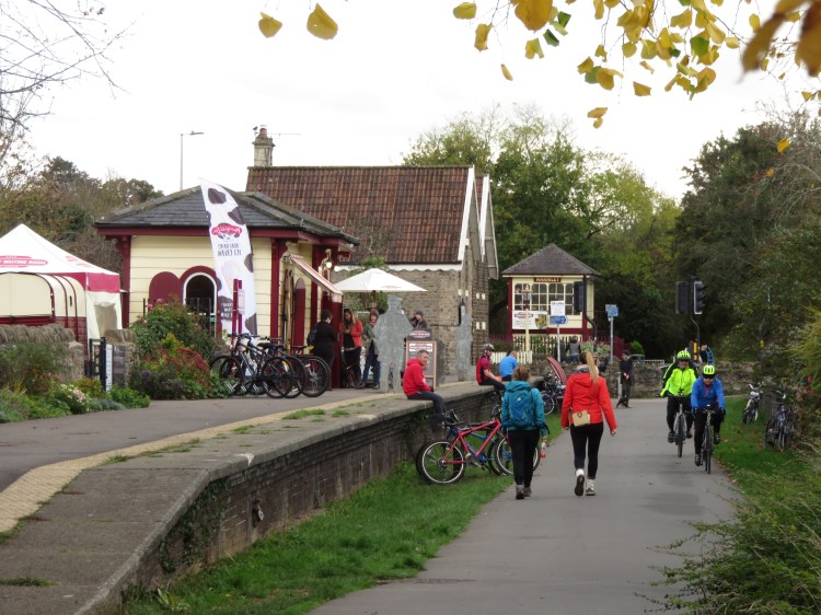
Mangotsfield Station was once an important interchange where passengers from Bath Green Park Station could change to trains heading north on the Midland Railway. These days, it is a secluded island of historic interest in the middle of a wooded area, at the junction of several cycle paths.
The station is in pretty good shape considering it closed to passengers in 1966. The platforms are still plainly visible, and fragments of the station buildings survive to tell the story. Public art in the surviving window openings depicts the site’s transition from busy train station to cycle hub.
Make a clockwise circuit around the station, exploring the platforms if you wish: go straight on along the south side, then make a hard right onto the northbound arm of the Ring Road Path towards Yate. Right again, a narrow path at the back of the station buildings completes the triangle.
Returning to your starting point, go straight across the Railway Path onto the other arm of the Ring Road Path, which descends gently below the south platform of the station (6).
The Ring Road Path is a much quieter cycle route that shadows the Railway Path for a while, crossing Siston Common before turning south towards Hanham. This stretch descends gently through woodland to converge on the Warmley Brook.
At the bottom of the hill, you will cross the brook at a low concrete bridge (7), beyond which you will get the first inkling of a return to Siston Common.
The path climbs up into a quiet grassy area at the rear of commercial buildings on Station Road. This particular offshoot of Siston Common has always been a bit cut off from the rest, tenuously connected to the rest via a narrow neck of green land a bit further south that is now crossed by the Station Road Link.
Continue along the Ring Road Path until you find yourself back amongst houses. Cross a small access road (8) and descend to an underpass beneath the Station Road Link.
The houses on the small access road before the underpass would once have faced out onto an open area of the common. The houses, Nos.42-52 Siston Common (even Nos.), are the first fragment you will pass of what must be one of the most confusing addresses in all of greater Bristol. These days, they face out onto a narrow landscape buffer that screens them from the Station Road Link.
The spacious underpass is an interesting feature in itself, decorated with a pattern of printed tiles that symbolises a former industrial landscape that is returning to nature.
You will climb out of the underpass onto a pleasant, sweeping stretch of path. In the distance, beyond the fence, Holy Trinity Church in Kingswood can be seen on the skyline once again.
The path returns to street level alongside the road called Siston Common, opposite a pub.
The Horseshoe is the only traditional pub on this route and is the first of two opportunities to get something to eat or drink.
After a short distance, the road called Siston Common splits into two parts (9), signed variously to Nos.41-47 odds, Nos. 49-61 odds, and Nos. 34-40 (I told you it was confusing).
Take the lower route, signed to Nos.34-40, following the Ring Road Path through the common.
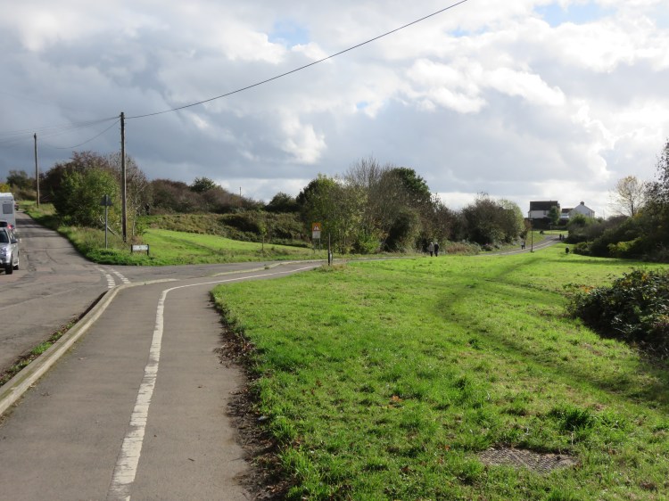
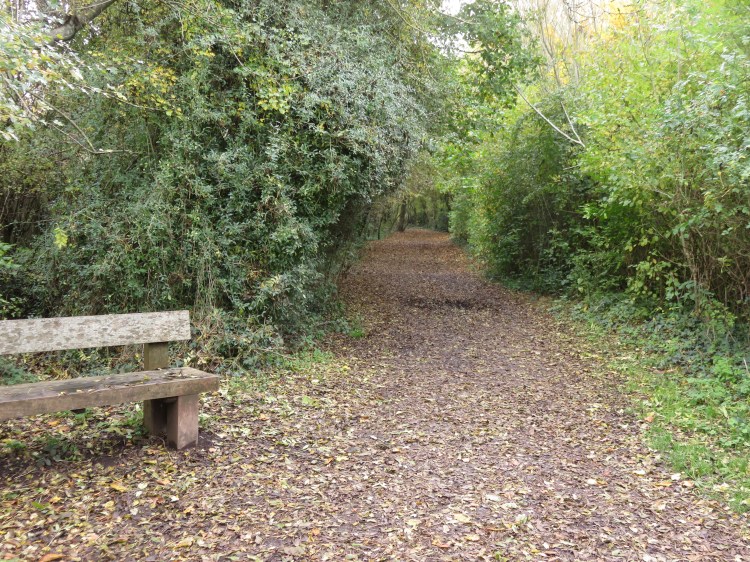
This is one of the most pleasant parts of the common, screened from the worst of the traffic noise on the Avon Ring Road thanks to the banks of the old railway cutting. You will pass through grassland and scrub, soon returning to the crossroads at the end of Fisher Road (2). You are now at just over the half way point of this walk.
Continue along the Ring Road Path, still following the road called Siston Common.
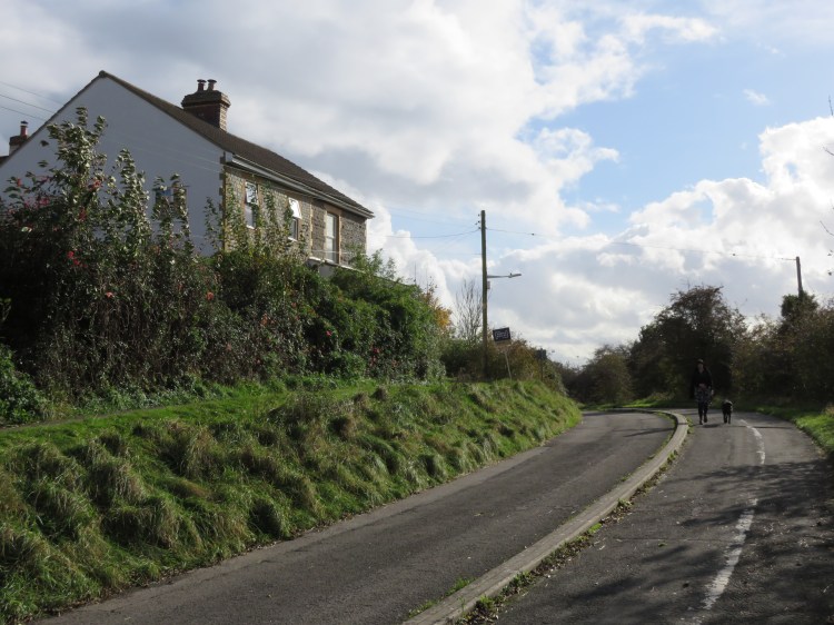
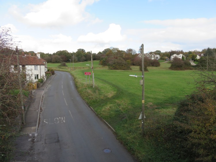
The road climbs and then descends again, passing isolated cottages and more areas of open grassland.
Before long you will pass through a second underpass that is similar in design to the previous one. This time, you are passing under the Avon Ring Road itself.
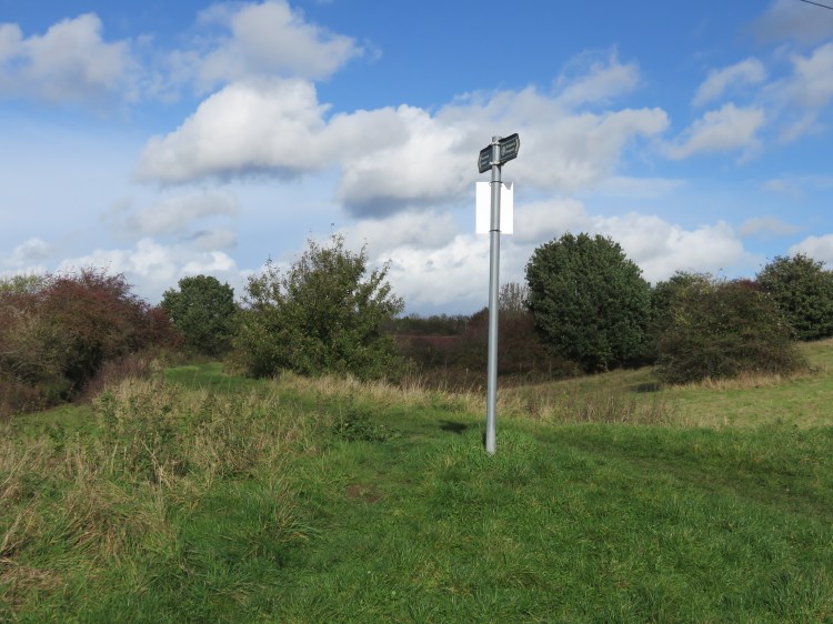
You will emerge at a junction of cycle paths (10) (this little section of Siston Common is home to Nos. 23 and 25, in case you weren’t confused enough).

Take the turning on the left, so that you climb up a wooded embankment, soon rejoining the Bristol and Bath Railway Path (11).
Accessible route
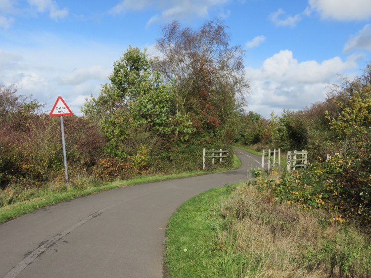
The main route will soon be leaving paved paths and heading into off-road areas with some muddy patches. If you wish to avoid this, it’s time to head back to the start of the walk. Turn left along the Railway Path. You will climb along the lower edge of the upper section of Siston Common. Rejoin the main route at the bridge over the Avon Ring Road (19).
To continue following the main route, turn right along the Railway Path.
You will find yourself on a long straight stretch of the Railway Path heading towards Warmley. Almost immediately, you will cross an old railway bridge. Take a look to the left (12) for a view out over the upper part of Siston Common. The road that climbs through the space is Siston Hill; the cluster of houses to the left are Nos.4-32 Siston Common (just to ensure maximum confusion).
A bit further along the Railway Path you will pass beneath a stone arched bridge carrying Norman Road over the old railway line.
A short distance after the Norman Road bridge, Warmley Station comes into view. Note the path to the left just before the station, which we will be taking shortly (13).
Warmley Station is also in pretty good shape. Alongside the platform, one of the old station buildings is home to a café with a large garden and, in a nod to Doctor Who fans, a TARDIS toilet. A bit further along, on the far side of the A420 London Road, you can see the original signal box.
The Warmley Waiting Room café is your last chance to get something to eat or drink on this circuit.
Return to the path just before the station (13). Take this path to immediately reach another part of the old Gloucester and Avon Tramway, here signed as the Community Forest Path.
The short flight of steps ahead of you leads up to Warmley Forest Park, a pleasant area of meadows and woodlands that will be at its best in the summer.
Turn left along the old tramway, proceeding through the woods.
Follow the old tramway, going generally straight on, avoiding side turnings.
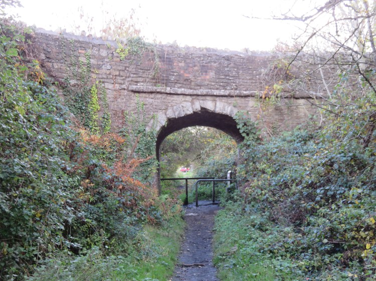
After a while you will pass beneath a small stone bridge carrying an offshoot of Norman Road over the old tramway (14). The bridge illustrates just how small the tramway vehicles must have been compared to the trains that would have used the Midland Railway.
You will soon emerge on Norman Road itself, a quiet lane that borders the upper section of Siston Common. A few cottages here make the best of the views offered by their elevated position.
Climb to the top of Norman Road (15).
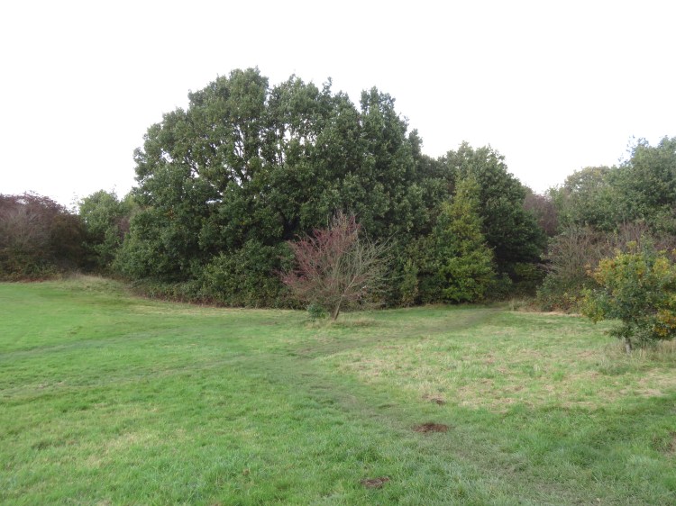
This section of Siston Common has a wilder, more rural look, cut off from the urban area by the Avon Ring Road.
Take the trodden path that follows the upper edge of the grassy area, ignoring the path that leads into the woods. Follow the woodland edge to keep away from the fast traffic on Siston Hill.
When a stand of large oak trees blocks your way (16), turn briefly right, climbing up through the woodland scrub.
Before long you can turn left again along a slightly muddy path leading into a new open area (17).
Stick to the woodland edge until you reach the open area, then cut across the grass and carefully cross Siston Hill to reach an access road leading to a couple of houses (18).
You are now almost at the top of the hill, and the city seems a long way away.
Turn right half way along the access road onto another trodden path that curves around a stand of trees to the left.
As you round the corner of the copse, the hillside of Kingswood comes into view again. You are now at the highest point of our walk, at the very top of Siston Hill.
You will see a cycle path converging from the right. This is the remains of the country road that once connected to Fisher Road via the stone bridge over the Midland Railway.
Continue straight on across the common to rejoin the Bristol and Bath Railway Path at the bridge over the Avon Ring Road (19). The accessible route rejoins here.
Cross the Avon Ring Road to return to the lower section of Siston Common (4).
Take a moment to enjoy the view of Siston Common and Kingswood one more time.
Turn left and descend to the crossroads with Fisher Road (2). Continue straight on along Fisher Road, crossing the Warmley Brook (1), to return among the houses and complete Walk Thirty.
Coming Up
In Walk Thirty-One ‘Severn Beach’ we will take in the big skies and fresh air of the Severn Estuary at Severn Beach and New Passage.
