Last updated: October 2020
Walk Map | Download walk as PDF
Our series of more outlying walks begins, perversely, with a walk that starts very much in the inner suburbs. However, over the course of this walk we will be venturing out to very much more peripheral locations than those seen so far.
One of the longer routes on offer, this walk focuses on discovering the course of Bristol’s most hidden river: the Malago. Very important to the historic development of Bedminster, this waterway can still be followed for large stretches of its route from Bedminster Bridge out towards Dundry. Having explored the route of the Malago, the walk then takes you from Bishopsworth across to one of the Malago’s tributaries, the Pigeonhouse Stream, as it passes through Crox Bottom, followed by a journey down Novers Hill with its views of the city centre and an opportunity to explore a little more of Bedminster than we managed to cover in Walk Eight ‘Bedminster, Totterdown and Arno’s Vale’.
The sights on this walk are seldom glamorous or picturesque, but it’s a good opportunity to explore parts of South Bristol, which doesn’t generally lend itself to exploration on foot.
Useful Information
Terrain: Undulating. Includes some steps.
Ground: Largely paved. An unpaved stretch in Manor Woods Valley that may be soft underfoot can be avoided by taking an alternative route.
Key Attractions: River Avon New Cut, Windmill Hill City Farm, River Malago, Manor Woods Valley, Crox Bottom, South Street Park, East Street shops.
Refreshments: There are a range of pubs and eateries available at the end of the walk.
Starting point: Bedminster Bridge Roundabout
Getting there: 20 minutes’ walk from Centre Promenade and 15 minutes’ walk from Temple Meads Station or Bedminster Station. Widely accessible by bus routes to Hartcliffe, running to the bottom of Redcliff Hill from Broad Quay. Small car parks available at Bedminster Parade and Little Paradise, and on-street parking available at weekends in industrial estates behind York Road (cars parked at owners’ risk).
Approx. Time: 3 hours 15 minutes
Approx. Distance: 6.3 miles
The Route
Like Walk Seven ‘The New Cut and Southville’ and Walk Eight ‘Bedminster, Totterdown and Arno’s Vale’, this route starts at the Bedminster Bridge roundabout, on the threshold of the city centre, alongside the River Avon New Cut.
The Malago, which originally met the River Avon in the vicinity of today’s Bathurst Basin prior to the construction of the Floating Harbour and the New Cut, now makes its outfall from a culvert under ASDA’s car park. If you stand on the corner of Commercial Road and look down the river towards St Paul’s Church, you may be able to see the hatchway where it emerges. We won’t be able to see the Malago again until it emerges from its culvert.
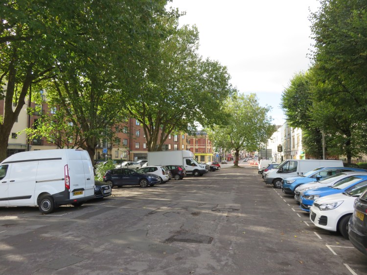
Running south from the bridge, Bedminster Parade is an historic thoroughfare leading into the heart of Bedminster. The original carriageway of the street, which lines up with the older of Bedminster Bridge’s twin spans, is now a car park (1); through traffic splays off to line up with the newer bridge instead.
Begin by walking down left hand / east side of Bedminster Parade, outside a large block of flats. Follow Bedminster Parade briefly and then take the very first left, Boot Lane.
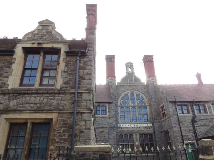
Boot Lane will take you through to Stillhouse Lane, a cobbled street to the rear of Bedminster Parade, where you will find an interesting old school building. During recent years, the Bedminster Parade side of the lane has been undergoing gradual redevelopment into a residential mews – a process which is still ongoing.
Turn right and follow Stillhouse Lane to the far end.
At the junction with Willway Street (2), note the curious old stone malthouse to the left which resembles a prison. Soon after that, you will emerge on Philip Street at a crossroads next to the Apple Tree, a very local cider pub.
Windmill Hill City Farm is located just down Philip Street to the left, and is worth a visit if you fancy a detour.
Otherwise, continue straight across Philip Street into Clarke Street, where you will pass the small Victorian Philip Street Chapel.
Clarke Street ends shortly at a footpath.
Take the footpath in front of you (3).
You will soon find yourself emerging in a derelict car park; all of this land is set for major redevelopment in the near future, but for the moment it remains open and underused.
A low stone wall to the right provides our first opportunity to see the River Malago. Bedminster’s main river is now a shadow of its former self. Once a driver of industry in the area and, occasionally, a cause of major flooding, the Malago has now been reduced to a partially buried trickle. These days, the bulk of the storm water flowing down from Dundry hill is diverted to the River Avon New Cut via a culvert at Manor Woods Valley in Bishopsworth, which we will come to a little later.
Continue along the edge of the derelict car park, keeping the stone wall to your right.
You will see that you are following the pavement of an old roadway, which is all that is left of this part of Clarke Street, which was once a residential street.
You will soon pass through a barrier to emerge on the final surviving stretch of Clarke Street, which will lead you out onto Whitehouse Lane, where the Malago briefly disappears again as you are surrounded by small industrial premises.
Turn right and follow Whitehouse Lane until you reach the next junction.
You will pass a small tree-lined space that is sometimes known as Bedminster Green, and is now at the epicentre of high-rise redevelopment proposals that have caused a stir locally. The Malago runs underneath this space, passing along Whitehouse Lane, and there is a possibility that this short stretch may be uncovered again in the future.
Turn left through a railway arch onto Windmill Hill (4), passing the entrance to Bedminster Station.
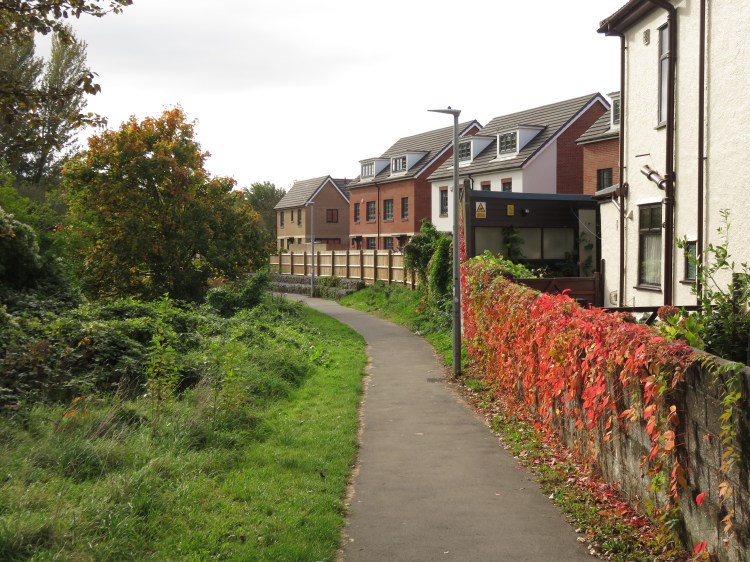
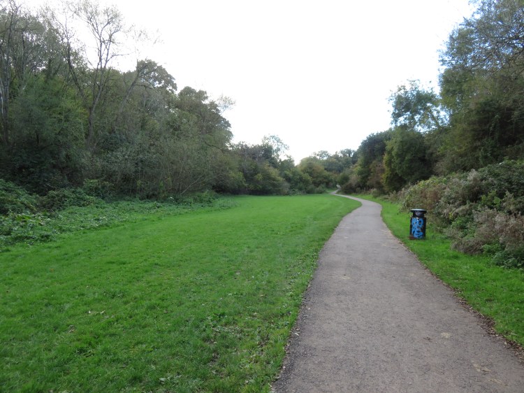
Take the first right after the railway arch onto Cotswold Road North, and immediately go through the barriers on the right to join a footpath bordering a green space (5). You are now on the Malago Greenway, a cycle route that roughly follows the course of the Malago out through Bedminster.
Follow the cycle path to the bottom of the hill, where the River Malago emerges from a tunnel under the railway line. Crossing a footbridge, continue along the path with the river on your left.
This part of the river flows through a wooded gulley shrouded by sycamore trees. The red-brick backs of the houses on Cotswold Road and their secluded gardens can be glimpsed through the trees to your left. On the right are the red-brick sheds of the Malago Vale Trading Estate.
Follow the greenway until it emerges back on St. John’s Lane. Bear left towards the pedestrian crossing. Note the steep leafy quiet of St. John’s Burial Ground off to the left (6). Cross St. John’s Lane to reach Francis Road.
Now closed to traffic, Francis Road makes the third side of a triangle with the main roads St. John’s Lane and Bedminster Road. The River Malago can still be glimpsed through the tree line on the left, running through a hidden glade.
Reaching Bedminster Road, cross at the pedestrian crossing and then go straight on onto a footpath parallel to the Malago Greenway, which is off to the left.
The path here has a more open feel. The Malago runs through marginal wildflowers to the left, while the new homes of Malago Drive make a tidy boundary to the right.
Cross the footbridge to rejoin the Malago Greenway. Continue straight on through Marksbury Road Open Space.
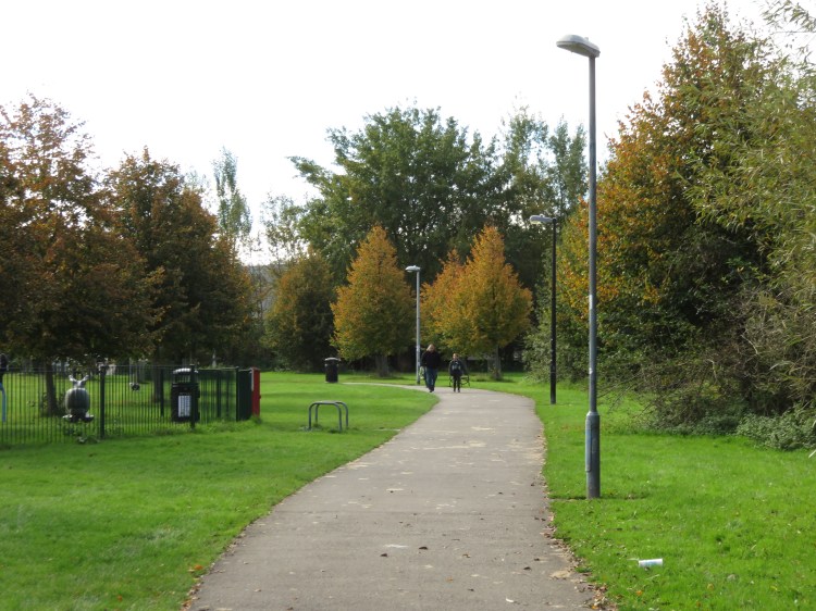
Marksbury Road Open Space is one of a string of open areas that follow the Malago through this part of Bedminster. Its recreational facilities are popular with local families and teens.
Following the greenway, leave the open space via the gates onto Marksbury Road. Turn right and follow Marksbury Road until you reach a small stone bridge over the river (7). The Malago Greenway continues to the left just before the bridge span. Take this left turn.
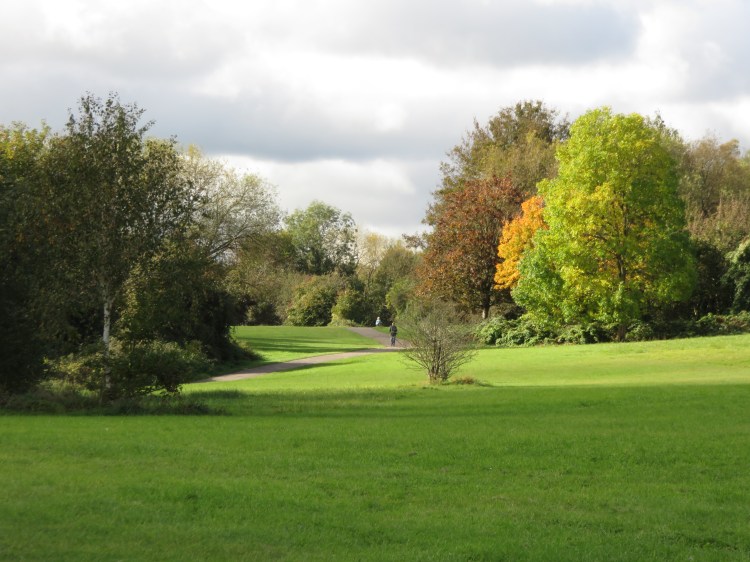
The next section of the Malago Greenway takes on a wilder and more airy feel. Beyond the houses on the far left of the space you will see the green hillside of the Northern Slopes rising in the distance.
A notable feature of this area is the Berry Maze (8). Designed by a local schoolboy and created and maintained by a group of volunteers, an attempt is being made to create a maze of edible fruit bushes. It’s testament to the community spirit in an area that is short of other facilities.

Leave the green space via the gates onto Parson Street.
Unfortunately we have to leave the river for a while as we emerge on Parson Street.
Turn right for a while and then take the first left, Hastings Road.
Hastings Road is home to a mix of bunagalows and fairly modern housing. It ends at a footpath leading out onto Hartcliffe Way (9).
Turn left onto Hartcliffe Way.
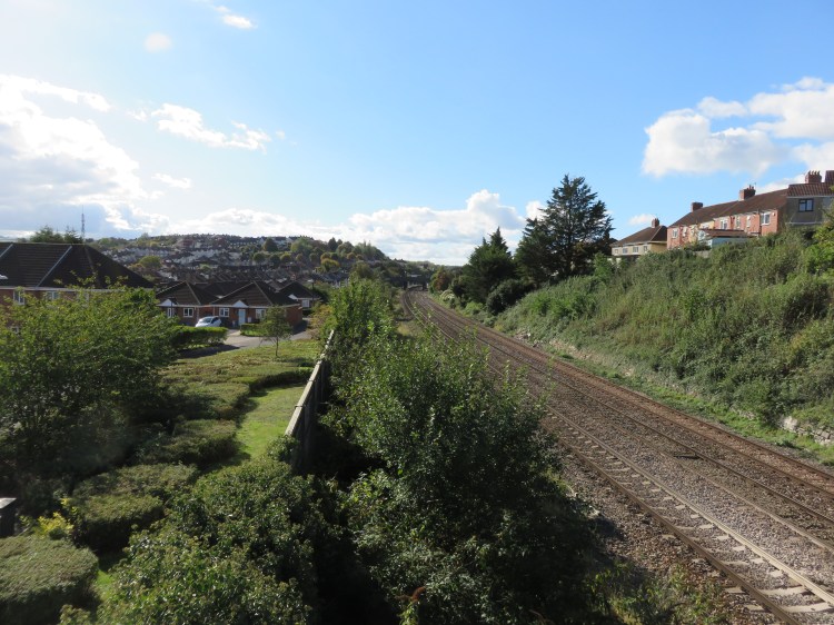
Hartcliffe Way is the busy main road from Bedminster out to the more peripheral areas of Hartcliffe and Hengrove, running via the valley of the Pigeonhouse Stream, a tributary of the Malago that we will get a better look at later. For now, Hartcliffe Way runs through industrial land.
Cross over at the traffic lights (10) and continue following the Malago Greenway, which runs as a cycle path along the far side of Hartcliffe Way.
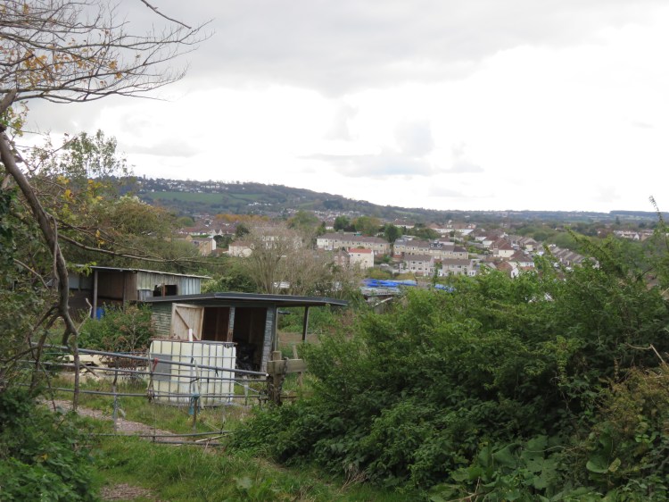
The cycle path borders the Vale Lane industrial area, where you will find various car sales and maintenance businesses. It’s a dull but necessary stretch of the route that will take you to our next green space. The best view is across the rooftops of the industrial buildings on the left hand side of the street, where the trees and paddocks of Novers Hill offer a hint of things to come later in this walk.
After the last of the car sales businesses, turn right into Headley Lane. Go through the gate and wooden pergola in front of you (11) to enter Manor Woods Valley.
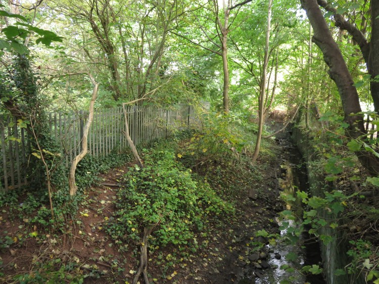
The pleasant Manor Woods Valley follows the Malago up to Bishopsworth. The valley is a large and valuable green lung in suburban South Bristol that is popular with dog walkers. The river itself is culverted at this point but, as you climb up the main path, the impression in the ground to your left marks its course.
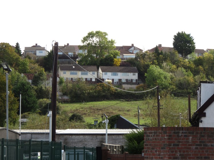
You are now passing between two South Bristol suburbs. Bedminster Down lies to the right, while Headley Park lies to the left.
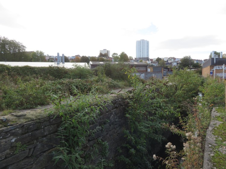
After a short while you will find yourself next to a concrete structure with the sound of running water (12), beyond which the Malago emerges into the open. This is the Malago Interceptor, which diverts much of the water flowing down the Malago to an outfall in the New Cut somewhere beneath Southville. This arrangement was introduced after the Malago burst its banks in the 1960s, causing major flooding in Bedminster, and explains why the stretches of the Malago that you have followed so far have been so sedate.
From here you have a choice of routes. The next stretch of the riverside is unpaved and may be muddy so, if you aren’t wearing suitable footwear for such conditions, continue up the main path, which climbs to the right.
Otherwise, negotiate the narrow space around the edge of the Malago Interceptor to reach the tiny earthen path which runs along the right-hand-side of the river.
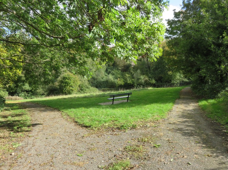
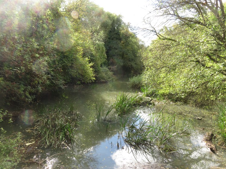
The footpath winds through a pleasant wooded area, following the river, until you reach a small weir where the river has formed a pond in a peaceful glade. Standing on the walkway here and looking into the glade, you really wouldn’t know that you were in the middle of a city.

When you’re done, turn right onto a tarmacced path so that you climb briefly to rejoin the main path (13). Turn left to continue following the main path southwards.
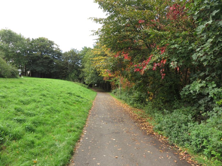
The undulating path is pleasantly leafy, and the sound of the river is never far away.
The path through the valley ends at a short track that will bring you out on St. Peter’s Rise opposite a small row of shops (14). You are now in the middle of what was the historic village of Bishopsworth, but is now a suburb of Bristol.
Alternative route via Bishopsworth Village
The main route sticks to the Malago to avoid the main road, but alternatively you can walk via the main road to see the surviving historic buildings of Bishopsworth Village.
Cross St. Peter’s Rise then turn right to reach the main road, Church Road. Follow Church Road uphill and you will soon pass the Manor House on the right, an imposing three-storey house with grand gates and elaborate chimneys.
Shortly afterwards you will reach a mini roundabout at the junction with busy Whitchurch Road. Cross over and continue straight on up Church Road to reach St. Peter’s Church, historic Bishopsworth Village’s other main survivor.
Turn left opposite the church onto Chapel Road, which will take you back through to Whitchurch Road. Turn left briefly and then use the pedestrian crossing to reach the turning opposite, Headley Road. Follow Headley Road to rejoin the main route at the junction of Avon Road and Headley Lane (16).
To stick to the main route, cross St. Peter’s Rise and then turn left. At the corner, opposite Headley Park Church, turn right into Pentire Avenue (15).
Pentire Avenue is a cul-de-sac of very ordinary post-war houses. Its main distinguishing feature is the sound of running water, as the Malago runs unseen through a valley on the right.
At the end of Pentire Avenue, go straight on into a footpath alongside the river to emerge on Hillyfield Avenue. Go straight on along Avon Road to reach Headley Lane (16).
At the end Avon Road, you will be offered one last glimpse of the Malago as it makes its way out towards its source at Dundry. For us, it’s time to make our way across to Crox Bottom, where we will join one of the Malago’s tributaries, the Pigeonhouse Stream.
Turn left up Headley Lane.
Headley Lane will take you uphill and into the suburb of Headley Park, which is one of those ordinary, unassuming suburbs that most Bristolians have probably never heard of. Headley Lane has a present edge-of-city feel at first while it passes Bishopsworth Allotments, but then it takes on a more typical suburban feel at the top of the hill.
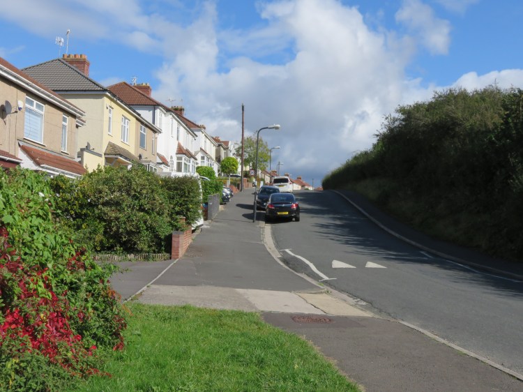
The Headley Lane stretch of the route is a bit of a trek, but it can’t be helped. You can add a bit of interest by checking out the views of Dundry hill over the rooftops on the right.
After you have passed the playing fields for Headley Park Primary School, Headley Lane bends sharply round to the left (17).
Go straight on into Pinhay Road, leaving Headley Lane, to enter a small housing estate. Follow Pinhay Road until it ends at a T-junction on Durville Road and then turn right.
Durville Road is another quiet residential street. After passing a few more houses, you will find a narrow public footpath leading off to the left (18).
Take the footpath.
You will find yourself at the top of a small, sloping grassy area where the footpath splits into two. This is Crox Bottom, the secluded valley formed by the Pigeonhouse Stream.
Take the right-hand footpath so that you reach a cycle path along the bottom of the valley (19).
If you look through the railings here, you may catch a glimpse of a small lake. This artificial lake was used to provide cooling for the huge post-war Imperial Tobacco factory, which once provided employment for the people of Hartcliffe, but has now been converted to flats.
Further walking available
By turning right in Crox Bottom, crossing under Hengrove Way and then going east along Whitchurch Lane, it is possible to pick the Pigeonhouse Stream up again and follow it all the way out through Hartcliffe, although this is a considerable extra distance.
Take a decent map. Leaving the city via Aldwick Avenue, at the very top of Hartcliffe, you can climb up a steep grassy field leading up onto Dundry hill. Follow the path up through the woods at the top, then make your way up through a small sloping field that is roughly triangular. The source of the Pigeonhouse Stream can be found in the next belt of woodland. It tumbles out of a low stone structure next to the path, where you can find inscriptions that reference the Malago.
To continue following the main route, turn left along the cycle path (19). Stay on the cycle path, ignoring the right turn signed for Novers Lane.
You will find yourself passing the Pigeonhouse Stream. The stream descends gradually through a series of lovely secluded pools and small weirs lined by willows and reeds. In many ways, it’s a bigger river than the Malago at this point.
After a while, the cycle path takes you across the stream and you will reach a second concrete interceptor structure (20), no doubt part of the same flood defence as the Malago interceptor.
Climb up the last stretch of cycle path to reach Hartcliffe Way. Turn right and begin climbing the hill.
Say goodbye to the Pigeonhouse Stream as you find yourself, once again, climbing busy Hartcliffe Way. This stretch of Hartcliffe Way has a semi-rural feel, with paddocks on the far side of the road that are sometimes used for grazing horses.
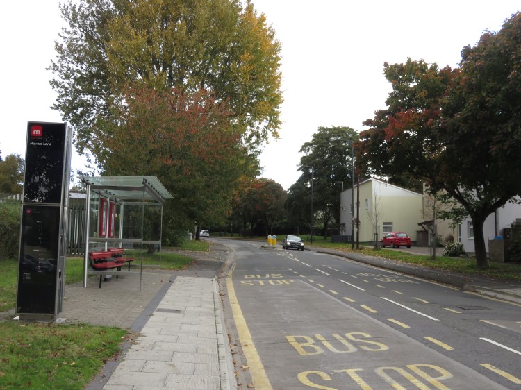
Cross Hartcliffe Way at the traffic lights and turn left onto Novers Lane (21).
Novers Lane is a fairly busy road which will lead you up into Knowle on the edge of Inn’s Court.
This next stretch is also a bit of a trek, but should be worth it to obtain the views available at the top of Novers Hill.
Climb through densely packed council housing until you reach a roundabout (22), and then turn left to continue along Novers Lane and complete the last part of your climb.
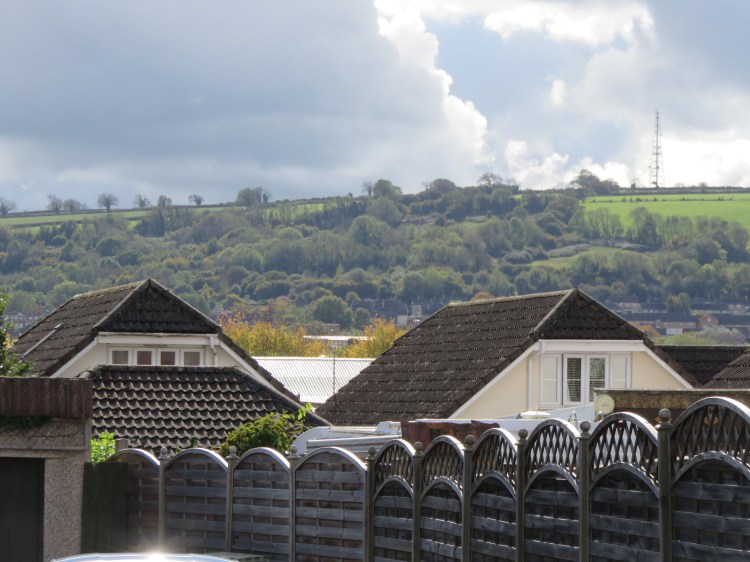
At the crest of the hill, Novers Lane becomes Novers Hill. As you begin to descend, the road takes on a semi-rural feel, with no footways. Here, unexpectedly, you will find a couple of smallholdings where horses are kept. If you look to the northwest across the Malago valley, you will be treated to a view of the Clifton Suspension Bridge.
Make your way gradually down the hill, being careful of the traffic.
Towards the bottom of the hill, the road opens out as you pass the grassland of The Novers on the right (23) (see Walk Nine ‘Knowle, Windmill Hill and the Northern Slopes’). At length you will reach the bottom of the hill, and will find yourself back on Parson Street, at the end of part of the Malago Greenway.
Cross Parson Street and go straight on along the Malago Greenway, passing the berry maze (8) and briefly retracing your steps from earlier. When you come out on Marksbury Road (7), turn left across the bridge.
Accessible route
The last stretch of this walk, back through Bedminster, involves climbing a few steps.
If you need to avoid these, I suggest that you instead retrace your steps along the first part of this walk, returning to Bedminster via the Malago Greenway.
Marksbury Road is home to unassuming council housing. You will eventually emerge on the main road, Bedminster Road, at a crossroads (24).
For the last stretch of this walk back to Bedminster Bridge, we have the opportunity to visit an area of Victorian Bedminster that we didn’t get to in Walk Eight ‘Bedminster, Totterdown and Arno’s Vale’.
Cross Bedminster Road. Climb Shepton Walk opposite to reach Honeywick Close, where you will find a footbridge over a railway line (25). Climb the steps up onto the bridge.
The footbridge crosses the main Bristol and Exeter railway close to Parson Street station. As you cross the tracks you will make the transition from council housing to the Victorian terraced housing of Bartlett’s Road.
Bartlett’s Road will bring you out on the main A38 West Street, a slightly down-at-heel shopping street.
Turn left briefly, cross West Street at the crossing, and then turn right next to the former White Horse pub (26) to enter Chessel Street.
This area, known locally as The Chessels, is a popular part of Bedminster for first-time buyers.
From Chessel Street, take the first right into British Road.
British Road is a long, winding back street with a varied character. The first section has an unusual staggered terrace to the right.
As you make your way along the road, one of the first major features that you pass is the Victorian complex of the Compass Point School on South Street. Across the road you will find South Street Park, a pleasant green lung in the middle of this residential area.
Continue straight on past the school and the park.
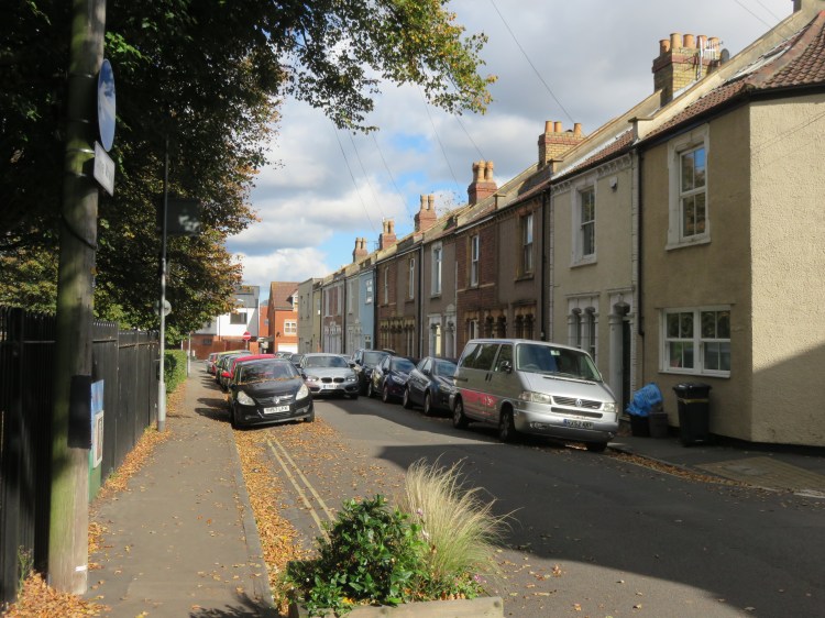
After the playing fields, British Road narrows down and kinks round a double bend. Passing narrow Hebron Road to the left (27), note the former chapel and burial ground a little further down. On the corner of Clyde Terrace, note Bedminster Methodist Church, with a modern façade attached to the remains of an older building.
This is the area of Bedminster that has the most survivors of historic Bedminster Village. Just beyond the Methodist church you will find Albert Cottage, a Georgian style building, with an eccentrically placed Victorian terrace attached to the rear. After a couple more side turnings, you will at length emerge on the main road next to the London Inn (28).
Cross the road at the traffic lights and continue straight on down the semi-pedestrianised East Street.
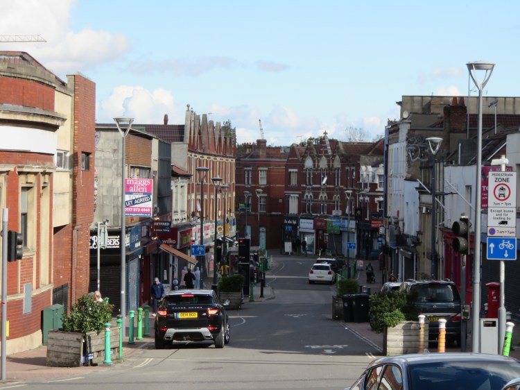
The rest of this route will be familiar from Walk Eight ‘Bedminster, Totterdown and Arno’s Vale’. Make your way down through East Street’s eclectic mix of cheap shops and pubs.
If you’re thirsty, take your pick of the pubs that line East Street. In any of them, you’re likely to find a pretty local crowd.
When you rejoin the main road (29), continue straight on past the imposing former tobacco factories (now being converted to flats), ASDA supermarket and the former Bedminster Police Station. At length, following Bedminster Parade, you will return to the Bedminster Bridge Roundabout to complete Walk Seventeen.
Bedminster Parade has a number of drinking and dining options if you would like to start or end your walk with a meal or a coffee. For example, Grounded is a smart café that does food and excellent cakes. Ganesha is a perfectly acceptable local Indian whose speciality is its dosas. There is a McDonald’s at ASDA for the fast food lover.
Coming Up
In Walk Eighteen ‘Brislington and St. Anne’s’ we will head eastwards to the suburbs that were built around the valley of Brislington Brook. We will uncover the tucked-away remnants of historic Brislington Village, before passing through the secluded Nightingale Valley and will take a pleasant walk alongside the River Avon.
