Last updated: July 2023
Walk Map | Download walk as PDF
As you head out of Brislington towards Keynsham, the landscape is carved up by strong features such as the River Avon, the Bath Road, the Avon Ring Road and the Great Western Railway. On the face of it, there is limited permeability between the different places that surround this area.
However, there are many delightful hidden corners to be found in this landscape and townscape, and if you’re prepared to stretch your legs a bit it is possible to walk a circuit that features the best of them.
This ten-mile hike is not for the faint hearted. It is more of a country walk than an urban walk, but it is very rewarding if you can manage the distance and terrain. It takes in the natural beauty of Eastwood Farm nature reserve alongside the River Avon in Brislington, before venturing out into the countryside between Bristol and Keynsham. After exploring the secluded rural valley of Stockwood Vale, the walk touches briefly on the pretty village of Queen Charlton before heading cross-country to Whitchurch Village. From there, the walk follows the attractive Whitchurch Railway Path and then Brislington Brook on its way back into the heart of Brislington.
Hazard warning
The stretch along the River Avon from Eastwood Farm to Ironmould Lane is a hazardous path with adverse slopes that runs very close to the river. This section of the walk should only be attempted when the ground is dry and with suitable footwear. It is undertaken at the walker’s risk.
An alternative route is provided that avoids this hazardous section, at the cost of missing out on a pretty section of the river.
Due to the length and cross-country nature of much of the route, sturdy walking boots are strongly recommended. Please note that the circuit also involves climbing several barriers and stiles.
Update: As at July 2023, I am advised that access out onto Ironmould Lane has also been compromised. I advise following the alternative route.
Useful Information
Terrain: Undulating.
Ground: Parts of the walk follow paved paths, but there are long unpaved and cross-country sections with variable ground conditions. Wear appropriate footwear.
Key Attractions: Victory Park, Eastwood Farm Nature Reserve, River Avon, Hanham Lock, Keynsham Cemetery, Stockwood Vale, Queen Charlton village, Horse World, Whitchurch Railway Path, Brislington Brook
Refreshments: There are pubs near the starting point in Brislington and a carvery in Whitchurch. Food stores are available in Brislington near the start and end of the route, and also via a detour into Stockwood.
Starting point: Brislington Hill, Brislington
Getting there: Accessible by bus routes running along the main Bath Road. Small shoppers’ car park available on just off Church Parade. On-street parking available on School Road and other nearby residential streets.
Approx. Time: 5 hours 30 minutes
Approx. Distance: 10 miles
The Route
To begin with, our walk follows the same route as Walk Eighteen ‘Brislington and St. Anne’s’, starting at the bottom of Brislington Hill in what used to be The Square, the central point of historic Brislington. Sadly, there is little evidence of the old village centre remaining now.
Brislington Village has a few options for food and drink. There are two pubs, the King’s Arms and Pilgrim Inn, on Hollywood Road, and a couple of takeaways at the bottom of Brislington Hill itself.
Take Church Hill, which is the turning between the petrol station and the shopping parade, and then turn immediately right into Church Parade (1).
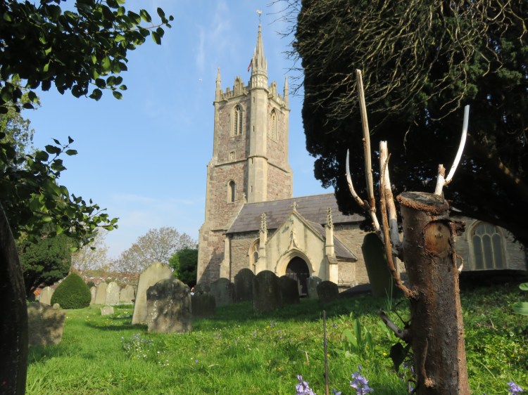
Straight away some historic fragments of the village begin to assert themselves, with a fairly impressive Georgian house on the left. After a moment’s climb you will find yourself at the gates to Brislington’s charming church, St. Luke’s.
Take the footpath to the immediate right of the church gates (2).
The leafy footpath is lined by stone walls and will bring you out between a couple of houses on St. Luke’s Mews.
Bear left along St. Luke’s Mews and turn right onto Church Hill (3).
As you climb Church Hill you will pass Church Hill House, which is another imposing Georgian property.
Church Hill ends at the gates to Brislington Cemetery, a tucked-away little civic graveyard.
Take the footway to the right of the cemetery gates.
After passing alongside the cemetery for a little while, you will emerge suddenly into Victory Park, a large and pleasant green space with views of the rolling Brislington landscape.
Take the path to the left (4).
You will meander along the edge of the park, descending gently until you pass a block of council flats and emerge on School Road.
At this point we leave Walk Eighteen behind us and forge ahead with our new route. The next few streets make for slightly dull walking, but it’s a necessary evil in order to reach Eastwood Farm.
Turn right up School Road, climbing steeply until you reach the top of the hill (5).
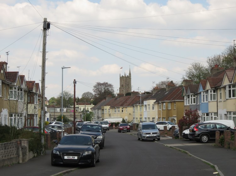
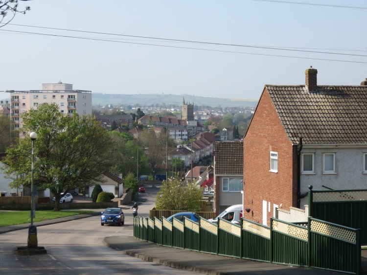
You can make the best of the climb up School Road by pausing to check out the view behind you when you are nearing the top. St. Luke’s Church dominates the view, with the green slopes of Dundry in the distance. You can also see the water tower at Knowle over the rooftops to the right.
Turn right into Allison Road. At the end of the road, make the left into Fermaine Avenue outside the school (6).
Fermaine Avenue will bring you to the centre of the Broomhill area of Brislington, where you can find a pub and a food store.
The Good Intent is the main local pub serving this area.
Cross Broomhill Road at the traffic lights and go roughly straight on so that you follow Jersey Avenue (7). At the end of the road, turn right into Eastwood Road and immediately left into Wyndham Crescent, passing a block of flats on the left.
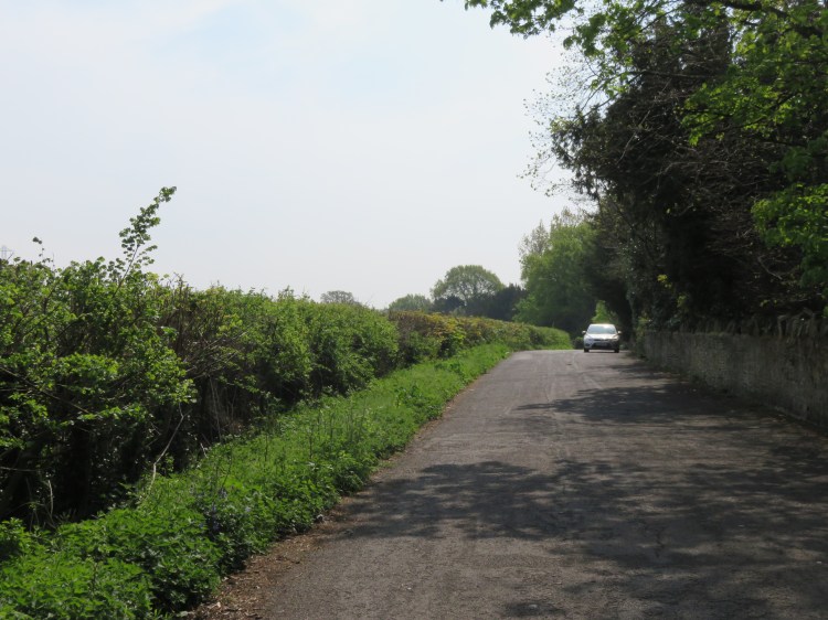
At the beginning of Wyndham Crescent, just past the block of flats on the left, you will find a track signed ‘To Conham Ferry’ (8).
Take the track signed to Conham Ferry.
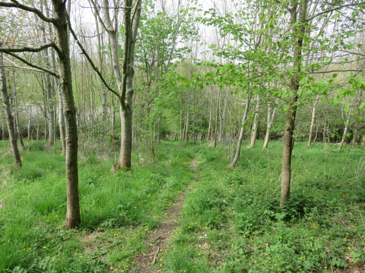
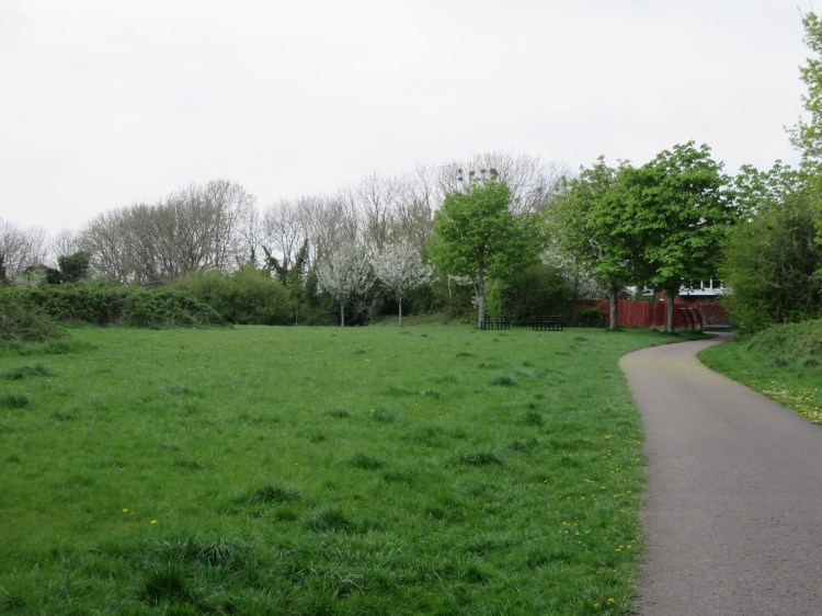
The track is also the main vehicular access to Beese’s tearoom and Eastwood Farm Nature Reserve. After passing through an open area, it descends through an area of pleasant, light and airy woodland until it reaches a car park (9).

Take the footpath at the bottom right hand corner of the car park, which descends via a short flight of steps to a grassy area alongside the river.
You are now in the heart of Eastwood Farm Nature Reserve, next to a particularly peaceful part of the River Avon. On the far side of the river, you can see the steps for the Conham Ferry (see Walk Nineteen ‘Crew’s Hole, Conham and St. George’).
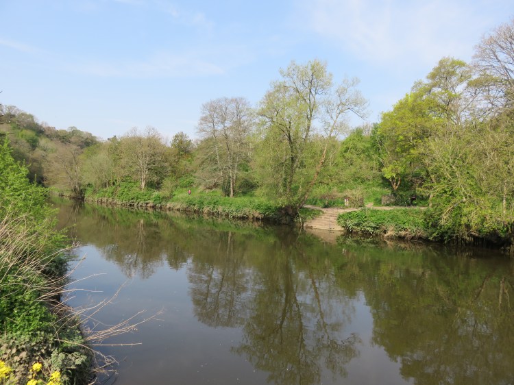
Follow the path alongside the river, keeping the river to your left.
You will pass a series of beautiful ponds (10), which are surrounded by willows and marginal plants and boast a host of wildlife, especially in the late spring and early summer.
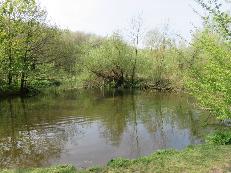
A short distance after the last of the ponds, you will reach a point where the path splits in two (11), with the main branch leading up into the woods on the right and a quieter branch continuing along the river. At this point you will have to decide which route to follow.
Hazard warning
The next stretch of the main route is a hazardous path with adverse slopes that runs very close to the river. This section of the walk should only be attempted when the ground is dry and with suitable footwear. It is undertaken at the walker’s risk.
Update: As at July 2023, I am advised that access out onto Ironmould Lane has also been compromised. I advise following the alternative route.
Walkers following the main route, accepting the potential hazards, should take the left branch of the path that continues along the river. If you have any doubts at all about your sureness of foot, follow the alternative route detailed below.
Alternative route
To avoid the hazardous riverside path, at the cost of missing out on a pretty section of the river, take the right branch of the path, which leads up into the woods.
Follow the path until it meets a tarmac driveway (11A). Turn left and follow the driveway until you come out on Whitmore Avenue.
Turn left along Whitmore Avenue then, at the end of the road, turn left again onto Broomhill Road. Immediately left after the last of the houses (11B), turn left onto Ironmould Lane. Follow the lane until you reach open fields on the left, rejoining the main route next to a field gate (14).
To follow the main route, take the left branch of the path, which sticks to the riverside. Shortly, you will pass a large gate leading onto a narrow woodland path next to the river.
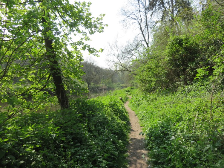
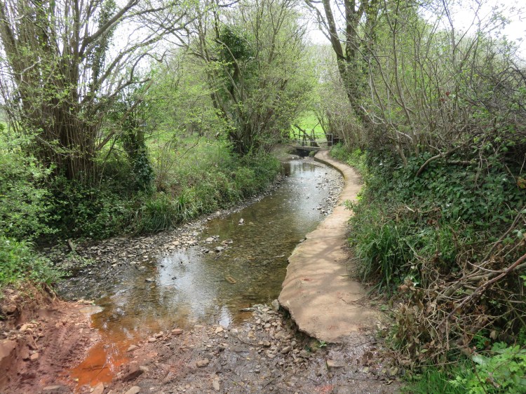
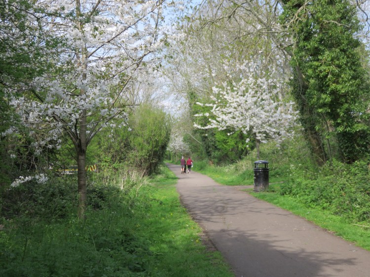
The path hugs the river closely and is alive with birds and woodland plants in the spring, including bluebells and wild garlic. It provides views of a lovely, peaceful section of the River Avon. However, it is not well maintained. Particularly around the halfway point, it becomes very narrow, with treacherous drop-offs into the river. Watch out for sections where the path slopes to the side, and avoid this route during wet conditions.
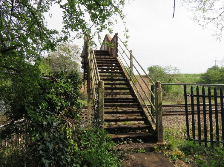
Eventually, the path converges on the main railway line, which runs on an embankment above you. At this point, a streambed leads down into the river via a tunnel under the railway line (12).

The tunnel is also a footpath of sorts, but offers further hazards. Mind the gap when stepping from the path onto the concrete outflow. Also, please beware that the floor of the tunnel is slippery even when it’s dry.
Turn right and climb through the tunnel.
To escape from the streambed once you have passed through the tunnel, climb up to the left, towards a small stone cliff (13), then drop down to the right to reach a good path that runs parallel to the stream.
Climb the path through the woods until you reach a rickety stile at the edge of the field. Cross the stile and then turn right across the field. Escape onto Ironmould Lane either by climbing over the field gate or by squeezing through the scaffolding barrier a little to the left.
You will arrive on Ironmould Lane, where the alternative route rejoins from the right (14).
Turn left along Ironmould Lane, so you are heading southeast with the field to your left.
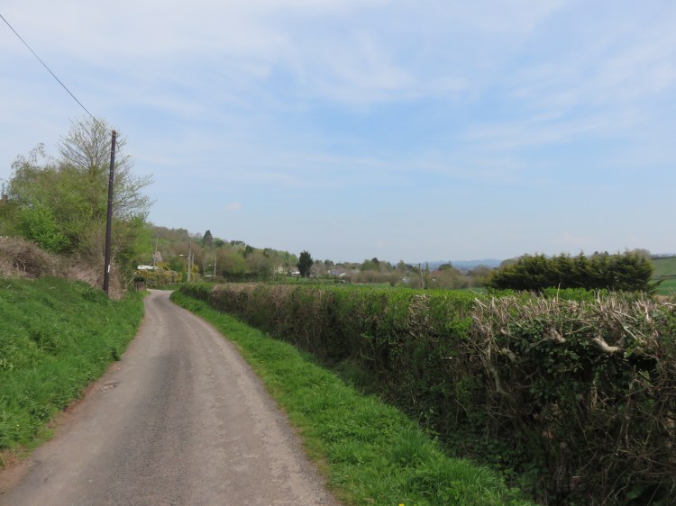
Ironmould Lane is a no through road that maintains a rural character, although you are still (just about) in Bristol.
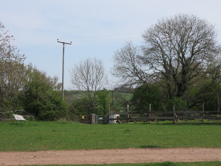
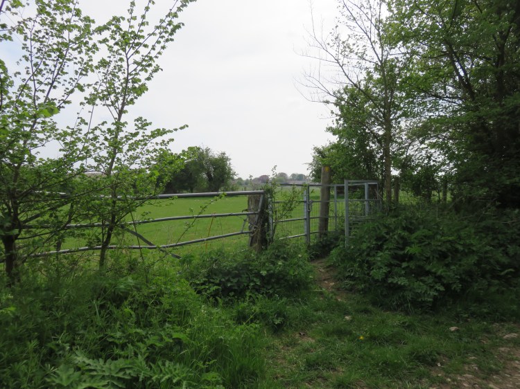
At the end of the paved section of the lane, you will pass a barrier leading onto an unpaved section, entering Bath & North East Somerset. Note that this section can be muddy. After a while you will reach a point where the lane turns sharply to the right (15). A footpath continues straight on to a pedestrian gate.
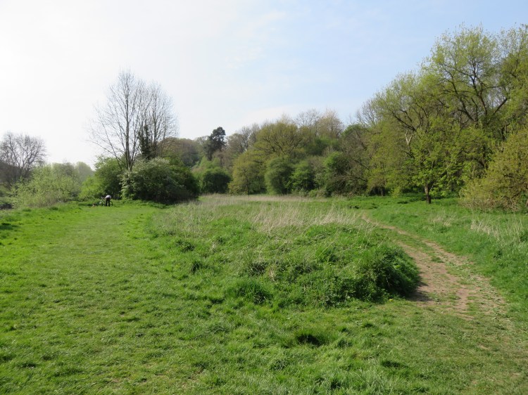
Go straight on, following the footpath, and through the gate to enter a field.
In the distance, you can see the tower of St. John’s Church, Keynsham.
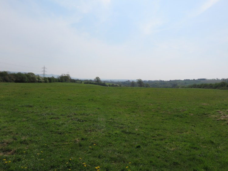
Go straight on across the field, heading towards the distant church, sticking to the top edge of the field so you pass through a gap in the hedge.
The second field climbs briefly before sloping down towards the ring road.
Go straight on, continuing towards the distant church, and you will descend to a stile leading out to the roadside (16).
The Avon Ring Road is a fast and dangerous road where drivers don’t expect to encounter pedestrians, but there is a pedestrian refuge in the central reservation. Take your time and cross the road with great care.
Once you have crossed the road, the public footpath resumes a little way to the left. Look out for a public footpath sign buried in the trees next to a highway sign.
Climb over the crash barrier to access the footpath via a pedestrian gate.
The next section of footpath is very varied in character, beginning as a woodland path before joining a lovely stream, after which it follows a stone causeway through a swampy area.
Passing between old metal railings, you will soon arrive at an iron footbridge leading back over the railway line.
Crossing the bridge, you will touch down on the edge of a dirt biking track (17).
Following the footpath signs, turn right briefly, then climb beside the dirt bike track, staying off the track itself as far as possible. Passing under the electrical pylons, go straight on towards a pedestrian gate at the far side of a green area.
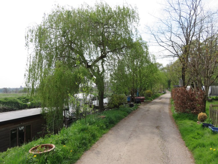
You will arrive at a very quiet spot at the bottom of Durley Lane. You are now on the edge of Keynsham. The quiet lane is home to several permanent houseboats and makes a tranquil spot for a picnic.
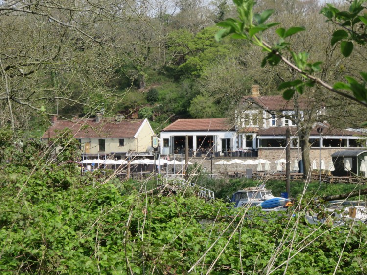
The gates on the left lead towards Hanham Lock, although they don’t particularly invite public access. Through the trees, on the far side of the lock, you can just about glimpse the two riverside pubs at the bottom of Ferry Road (see Walk Thirty-Nine ‘Hanham and Barr’s Court’).
Turn right along Durley Lane, walking with the river to your left.
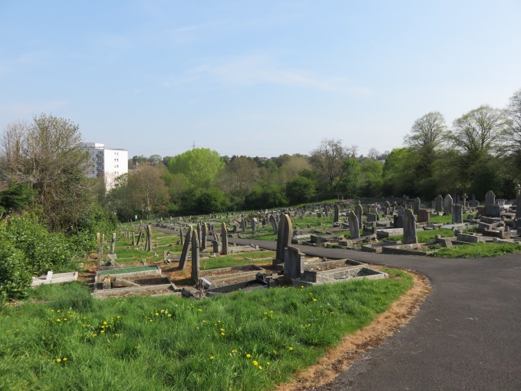
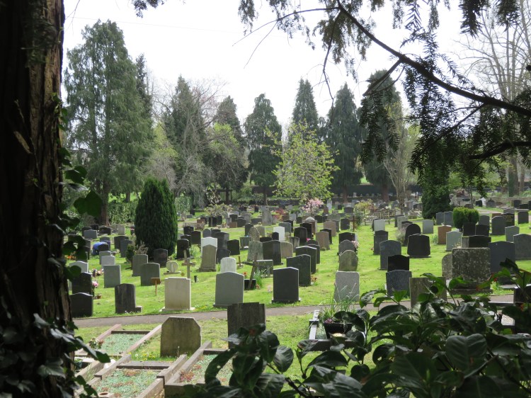
The winding lane climbs gradually away from the river, passing under an old stone railway bridge and then a concrete road bridge bearing the Keynsham Bypass. Passing a few tucked-away houses, you will reach the peaceful Keynsham Cemetery, which is surrounded by tall conifers.
You will eventually come out on Durley Hill, the main road into Keynsham.
Durley Hill is another fast and busy road. Carefully cross it to reach Old Bristol Road on the other side (19).
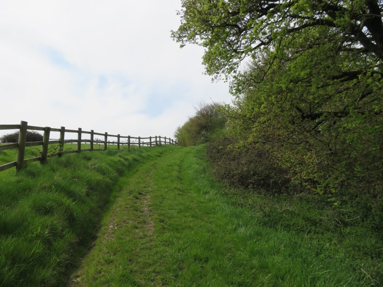
Old Bristol Road is a quiet lane that skirts a lovely field with older properties visible on the hillside in the distance.
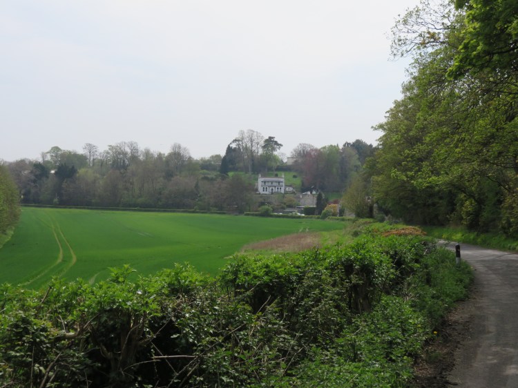
At the next junction, turn right into Stockwood Vale (20). Be sure to cross to the pavement on the far side for this short section, as the road is a popular rat-run down from Bristol. Take the second left to continue along Stockwood Vale.
The main section of Stockwood Vale is a quiet no-through road that leads along a truly peaceful valley dotted with country houses.
Follow Stockwood Vale for about half a mile. Shortly after passing a large Victorian property called Orchard House, turn left next to a stable (21), following a good track that is signed as a Byway.
At the first corner, the byway merges briefly with a stream. Use the concrete footway to avoid getting your feet wet.
Climbing gradually, the byway begins to skirt Stockwood Vale Golf Club.
Follow the byway for about ¾ of a mile until you reach a pedestrian gate on the left leading into a field (22). Go through the gate.
Following the footpath signs, you will quickly cross the corner of the first field before cutting diagonally across the corner of a second, heading towards the tower of St. Margaret’s Church, Queen Charlton in the distance.
The third field dips down sharply before climbing steeply towards a complex of farm buildings on the edge of the village (23).
Continue heading towards the church. Locate the pedestrian gate at the top of the field, which takes you out onto a farm track. Follow the track on an anticlockwise loop through the farm complex until you can take a right turn leading out onto the village green (24).

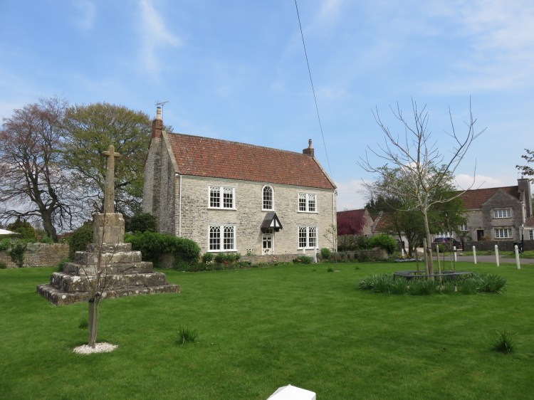
Queen Charlton is a pretty little place. The village green is a good spot to pause for a rest. Next, we will be making a cross-country journey to Whitchurch.
When you’re ready to move on, take the next footpath, which is a right turn off the village green just before you come out on the main village road.
The path starts out as a narrow footpath between the houses. It then runs alongside an old stone wall next to a narrow field.
After a short while, you will return to the byway via a pedestrian gate (25).
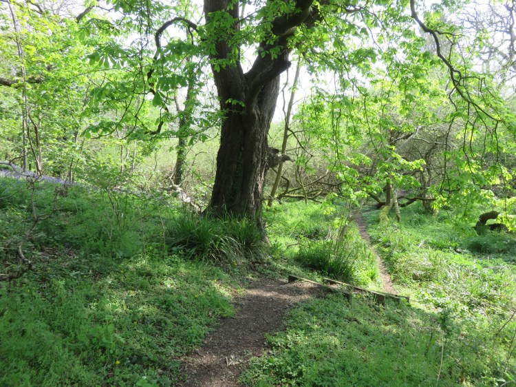
Cross the byway and take another pedestrian gate. Stick to the right hand edge of the next field, bordering the golf course once again. Go through the next gate to enter a belt of woodland (26).
The path through the woodland heads to the left for a little while before turning straight down through the trees towards a gate at the bottom.
Go through the gate.
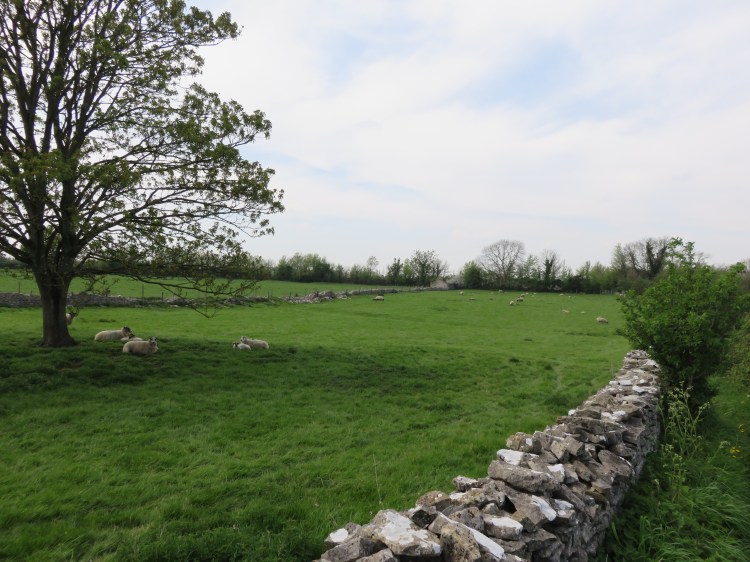
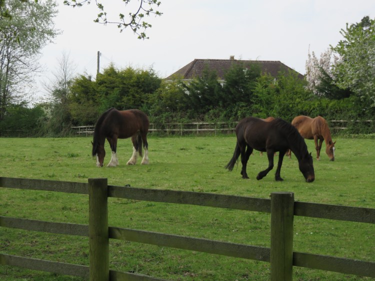
You are now entering land belonging to the Horse World rescue centre in Whitchurch. You are likely to encounter horses in the next few fields. Be careful around the animals, which have varied backgrounds.
Climb the first field, walking to the right of a wooden fence. At the top of the hill, cross to the other side of the hedge line (27), following the footpath sign.
Turn left along the hedge line. Follow the footpath through a series of fields with pedestrian gates. Keep going straight on, keeping the hedge line and Horse World buildings to your left.
Eventually, you will reach a point where you can escape on Horse World’s main tarmac driveway, where there are also a few houses beyond the hedge (28).
Follow the driveway until you come out on the main road, Staunton Lane (29), then turn left. Follow the main road round to the right, crossing over at the zebra crossing.
Staunton Lane leads down into historic Whitchurch Village (see Walk Forty ‘Whitchurch and Stockwood’).
The Maes Knoll Toby Carvery, via a short detour into the centre of Whitchurch Village, is the last pub stop on this route.
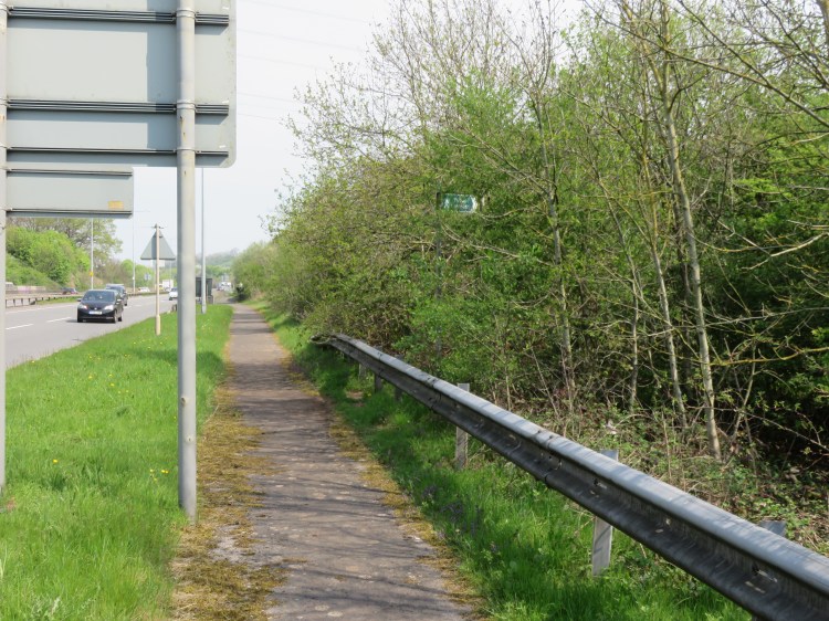
Follow Staunton Lane towards the centre of the village until you see the Whitchurch Way cycle route signed off to the right, about halfway down the road (30). Take the cycle path.
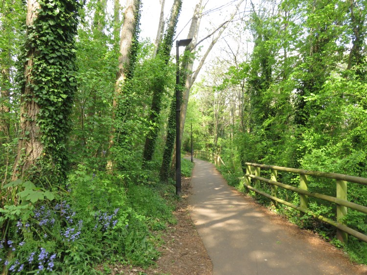
The Whitchurch Way follows the Whitchurch Railway Path back down into Brislington. The railway path is a lovely wildlife corridor leading gently downhill into the city.
At first, the path passes through open fields, then it bears left at Craydon Grove Open Space with its useful picnic tables. You have now returned to Bristol, arriving on the edge of Stockwood.
After you have left Craydon Grove Open Space, the railway path turns right at a t-junction (31).
Turn right and continue following the railway path downhill.
You will pass Saltwell Valley Open Space off to the left, which separates Whitchurch Village from the rest of Bristol, then you will find yourself descending alongside the Brislington Brook valley. Interesting views can be glimpsed between the houses and trees on the right.
The railway path eventually terminates at Manston Close (32).
Descend Manston Close to come out on Sturminster Road, the main road up to Stockwood from Bristol. Cross Sturminster Road then turn right for a few moments, crossing the entrance to Durweston Walk. Turn left down a footpath that runs in front of a terrace of houses (33).
The housing at Durweston Walk has an inside-out layout, leaving you on a network of quiet footpaths with grassy verges.
At the bottom of the hill, turn right past the end of the terrace. Bear left to reach a triangular green area fronting a few more houses.Take the turning at the left-hand corner of the triangle to reach a path around the edge of a playing field. Turn left one more time so that you walk with the playing field to your left and Brislington Brook to your right (34).
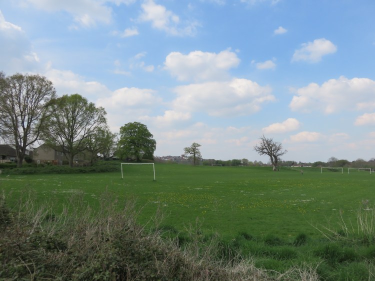
The playing field is a pleasant landscape to look over. In the distance, you can see the water tower in Knowle. Look out for wildlife as you follow the brook.
At the end of the footpath, turn right and follow Ellesmere Road for a few moments to come out on West Town Lane (35) opposite a school.
West Town Lane is a fairly busy main road.
Turn left onto West Town Lane and cross over at the traffic lights. Take the public footpath to the right immediately after the school (36).
The footpath skirts the school site on its way back to the brook.
Follow the footpath, making a right turn at a t-junction to continue along the back of the school site.
Continuing straight on, you will cross the brook one last time via a footbridge leading to a subway under Callington Road.
At the junction of paths just beyond the subway (37), go straight on, bearing slightly right, to follow a streamside path through some pleasant woodland.
The path comes out at the end of Homemead Drive (38). Turn left very briefly, then bear right onto Hulse Road.
From Hulse Road onwards you will complete the final leg of the walk through ordinary residential streets.
Turn right into Kenneth Road. Follow Kenneth Road to return to Brislington Hill, finally completing the walk.